
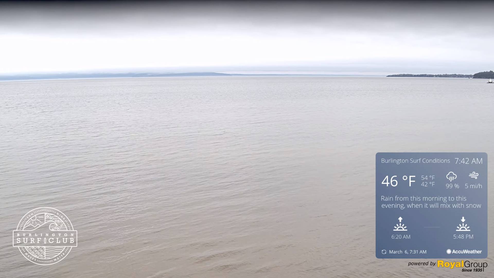
TODAY: Gray damp and raw. Rain or rain showers northwestern areas gradually spreading southeast…moderate at times late this afternoon. Areas of fog. A high mid to upper 40s. Little wind.
TONIGHT: Cloudy. Rain…moderate at times, with a possible wintry mix higher terrain. A low near 35. Light north to northeast winds.
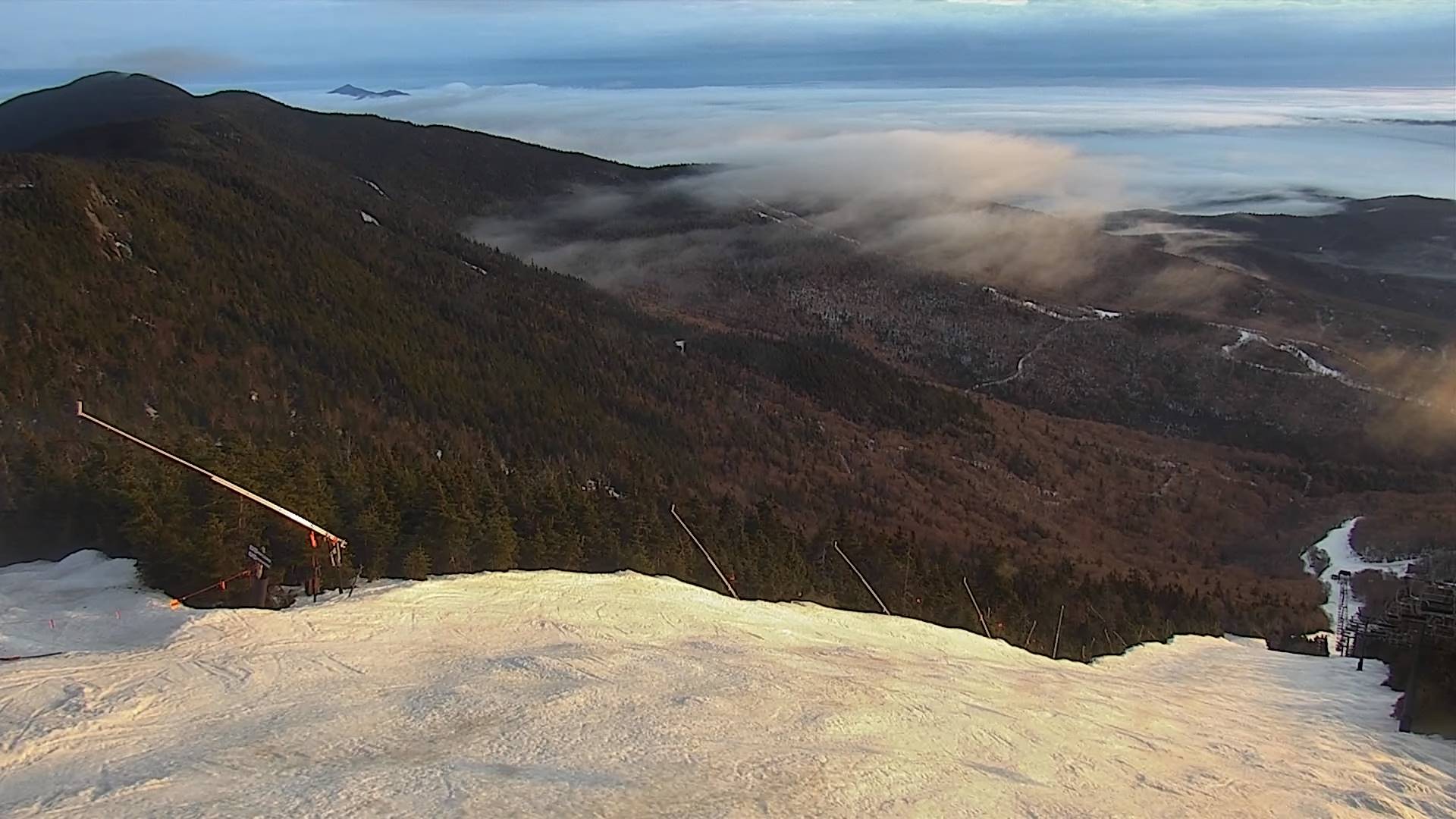
THURSDAY: Transition day. Periods of rain early exiting to considerable cloudiness. Maybe some hints of afternoon sun. A high 40 to 45. North to northeast winds 10 to 15 mph.
Looking further ahead
THURSDAY NIGHT: Some high clouds in the evening, then clear and colder. A low near 25.
FRIDAY: Pick of the week. Bright sun and blue skies. A high upper 40s around 50.
SATURDAY: Lots of clouds. A low 25 to 30. A high around 45.

SUNDAY: Cloudy. Rising chance for wet snow. Accumulations of a slushy few inches, especially in the mountains. A low near 32. A high mid to upper 30s.
Average lows ranges thru the teens. Average highs mid-30s to around 40.
RH/3-4forecast][end]
