
A Flood Watch and Wind Advisory 1 PM into Thursday morning…
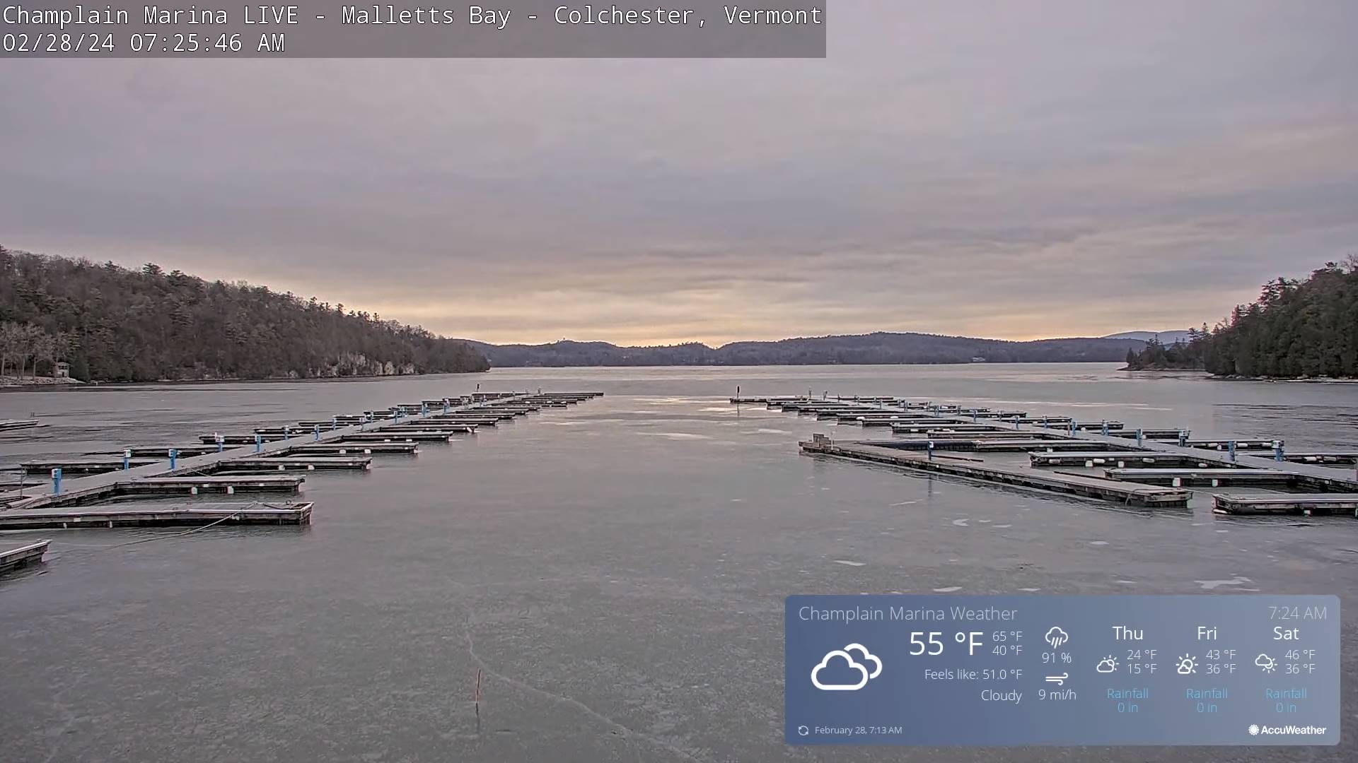
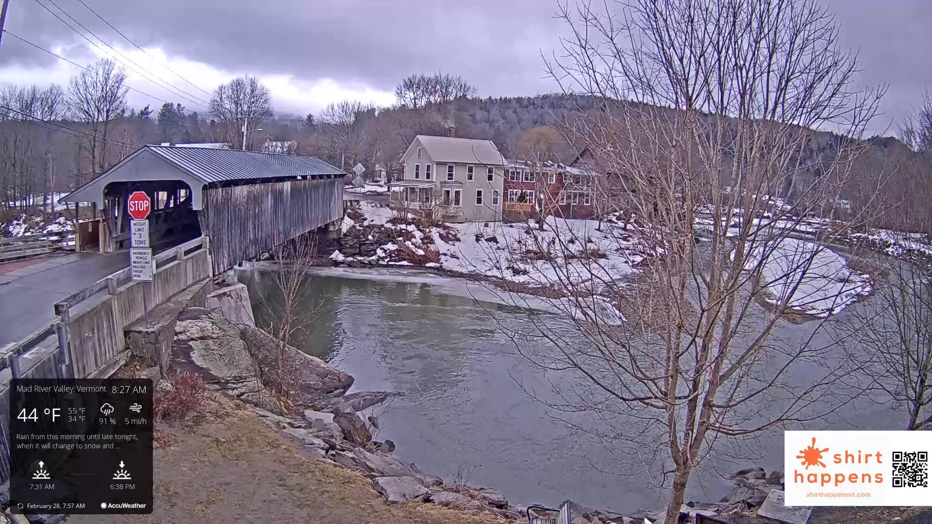
TODAY: Cloudy & very mild. Occasional rain showers redevelops late this morning. Rising streams and rivers mainly due snow melt. A high in the low to mid 50s. Southeast winds 10 to 15 mph.
TONIGHT: Overcast.Rain…moderate at times…changing to snow late evening, with up to an inch of accumulation. Blustery to windy. An eventual low ranging upper single digits to mid-teens toward daybreak with icy slick travel on untreated roads. South winds shifting to northwesterly and increasing to 10 to 25 mph with higher gusts east of the Green Mountains
THURSDAY: More sun than clouds, blustery to windy & colder. A high about 20. Northwest winds 10 to 25 mph with higher gusts near the mountains.
Looking further ahead
THURSDAY NIGHT: Mostly clear and partially moonlit. More clouds late. A low around 10.
FRIDAY: Cloudiness gives way to partial sun, but with a stray mountain flurry or two. A high about 40.
SATURDAY: Morning sun then more clouds. Rising chance for a rain shower. A low 25 to 30. A high around 50.
SUNDAY: Lots of clouds. Chance for a few rain showers. A low 30 to 35 with a high 50 to 55.
Average lows upper-single digits to upper-teens. Average highs mid to upper 30s.
RH/2-28forecast][end]
