
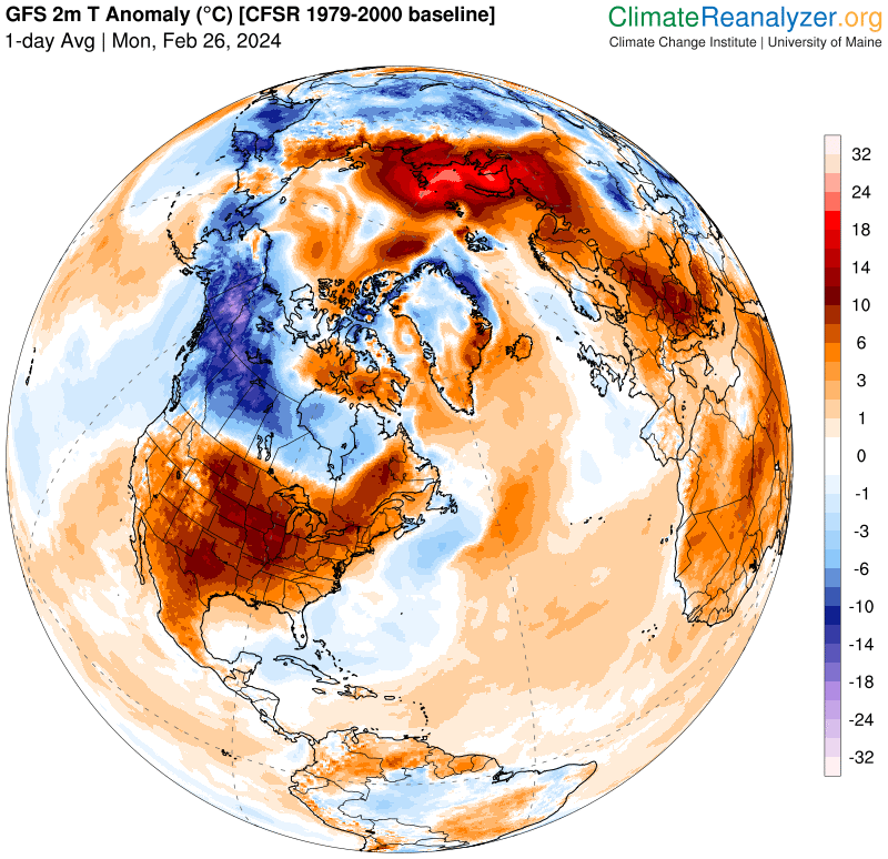
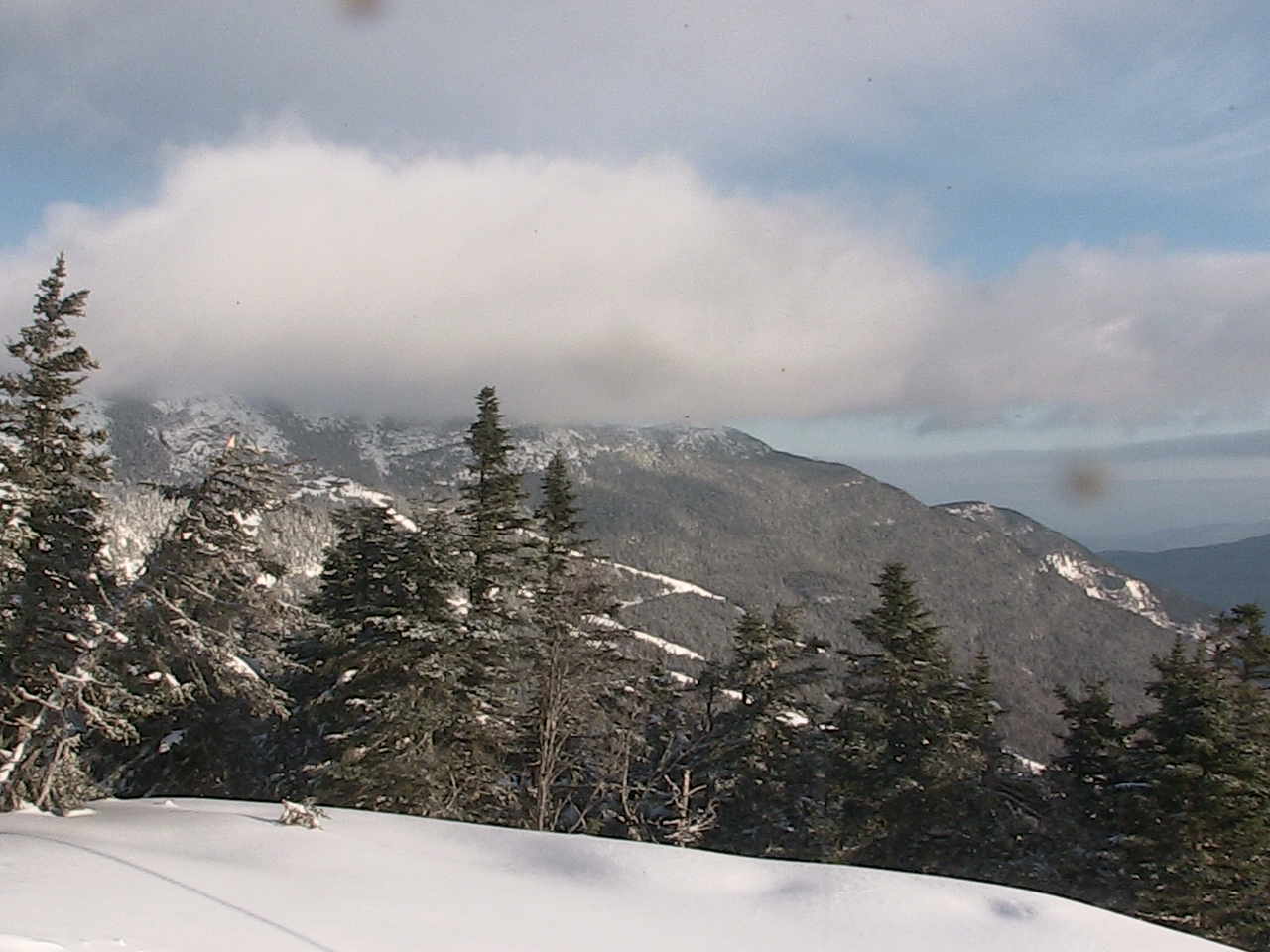
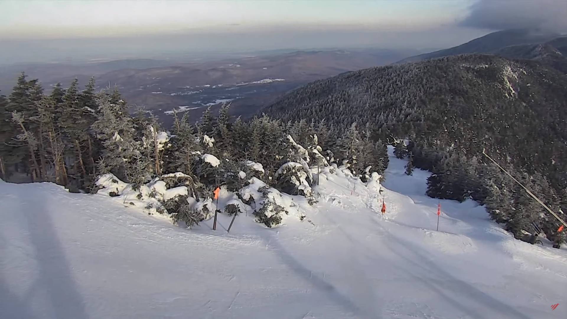
TODAY: Clouds mixed with sunny periods with a chance for a rain shower or brief mountain wet snow flurry far northern areas. A high about 45. Southwest breeze 10 mph shifting to northwesterly this afternoon.
TONIGHT: Becoming mostly clear and moonlit with some high cloudiness.A low in the mid-20s. Little wind.
TUESDAY: Lots of sunshine, mild and spring-like.A high 50 to 55.South to southeast winds 10 to occasionally 20 mph.
Looking further ahead
TUESDAY NIGHT: Clouding up.Rain showers becoming likely.A low around 40.
WEDNESDAY: Gray. Scattered rain showers. A high in the upper 40s to near 50.
THURSDAY: Rain showers…changing to snow showers, moderate at times with minor accumulation early. Blustery to windy & sharply colder with more sun than clouds late morning into the afternoon. A low 10 to 15. A high around 25.
FRIDAY: Mostly sunny. A low 10 to 15. A high rebounding to around 40.
SATURDAY: Sunshine gives way to increasing clouds. A low around 30. A high near 50.
Average lows upper-single digits to upper-teens. Average highs mid to upper 30s.
RH/2-26forecast][end]
