
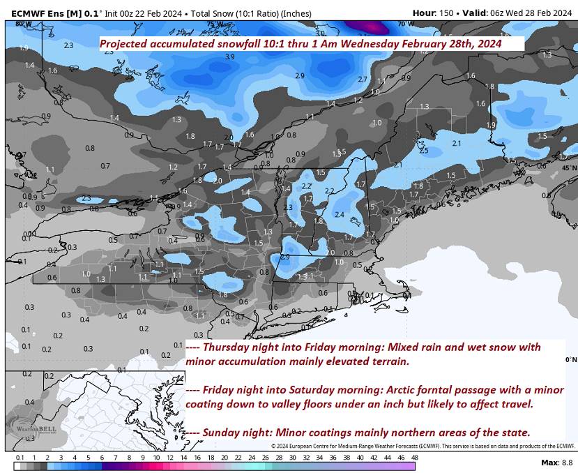
TONIGHT: Considerable cloudiness. Wet snow showers…mixed with rain across western Vermont valleys.A light snow coating east of the Greens.A low 32 to 35. Light south winds but stronger near Lake Champlain.
TOMORROW: A few leftover wet snow showers & flurries, exiting early to intervals of sunshine. A high upper 30s to near 40. Light southwest winds.
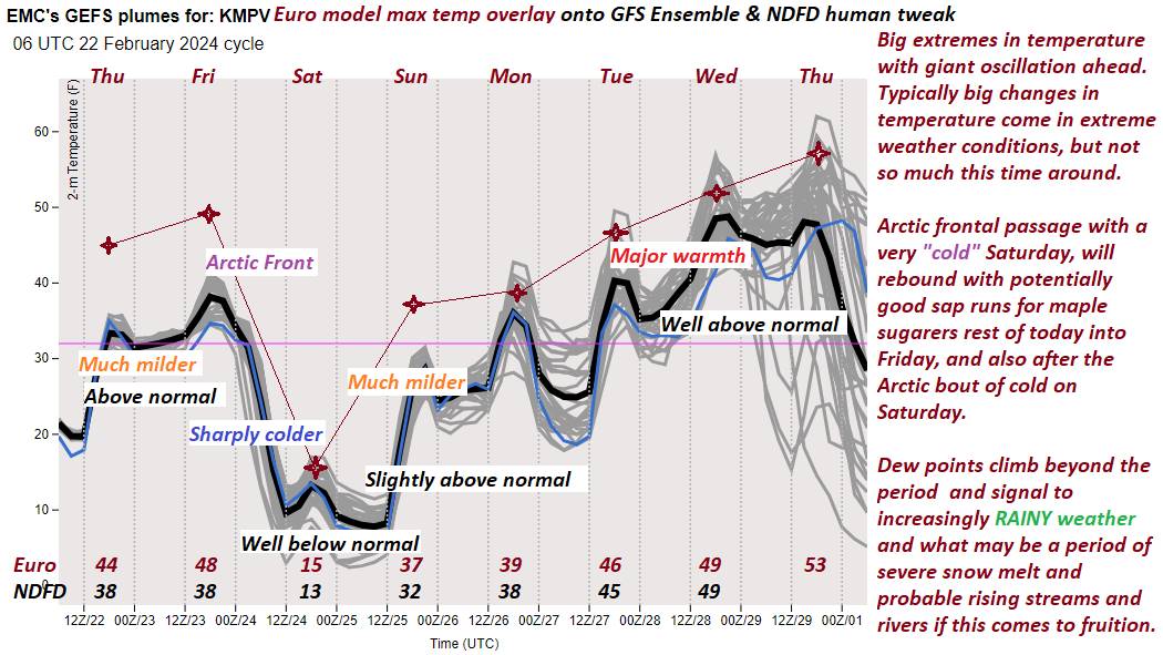
FRIDAY NIGHT: Variable clouds.Widely scattered snow showers with a risk of a snow squall northern areas. Minor accumulation. A low 10 to 15. Winds becoming northwesterly 10 to 15 mph.
Full Snow moon 7:30 AM
SATURDAY: Blustery and sharply colder with increasing sunshine. A high around 15. Northwest winds 10 to 15 mph lowering wind chills.
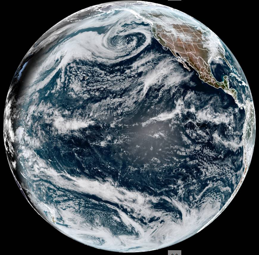
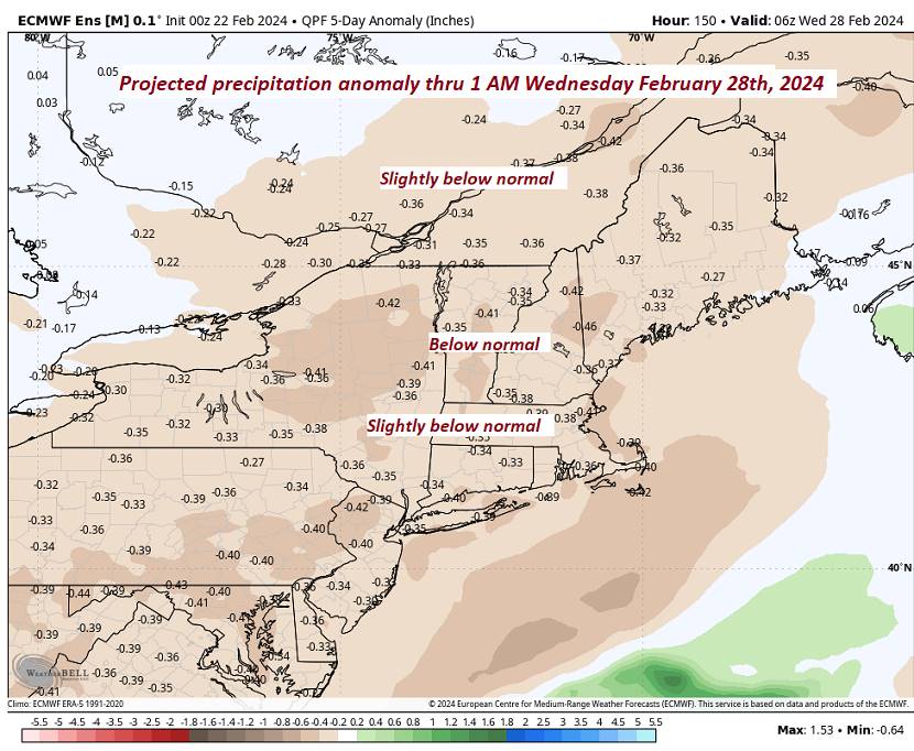
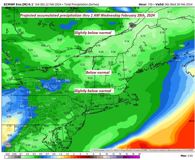
Looking further ahead
SATURDAY NIGHT: Clear and fully moonlit.A low zero to 5 above.
SUNDAY: Sunny. More clouds arriving later on in the afternoon. A high around 32.
MONDAY: Morning clouds with possible stray flurry, then mostly sunny. A low upper 20s. A high 35 to 40.
TUESDAY: Partly cloudy. Milder and breezy. A low 15 to 20. A high around 45.
Average lows mid-single digits to mid-teens. Average highs in the low to mid 30s.
RH/2-20forecast][end]
