
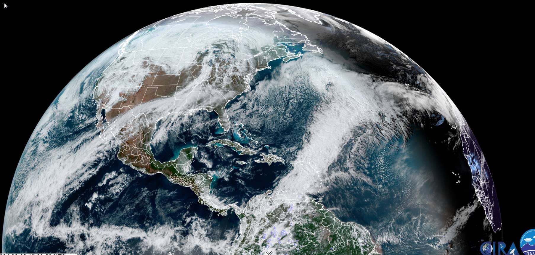
TONIGHT: Increasing & thickening high clouds. An isolated sprinkle or wet snow flake near the Quebec border overnight. A low ranging from the upper 20s to low 30s. Light southeast winds stronger across Lake Champlain.
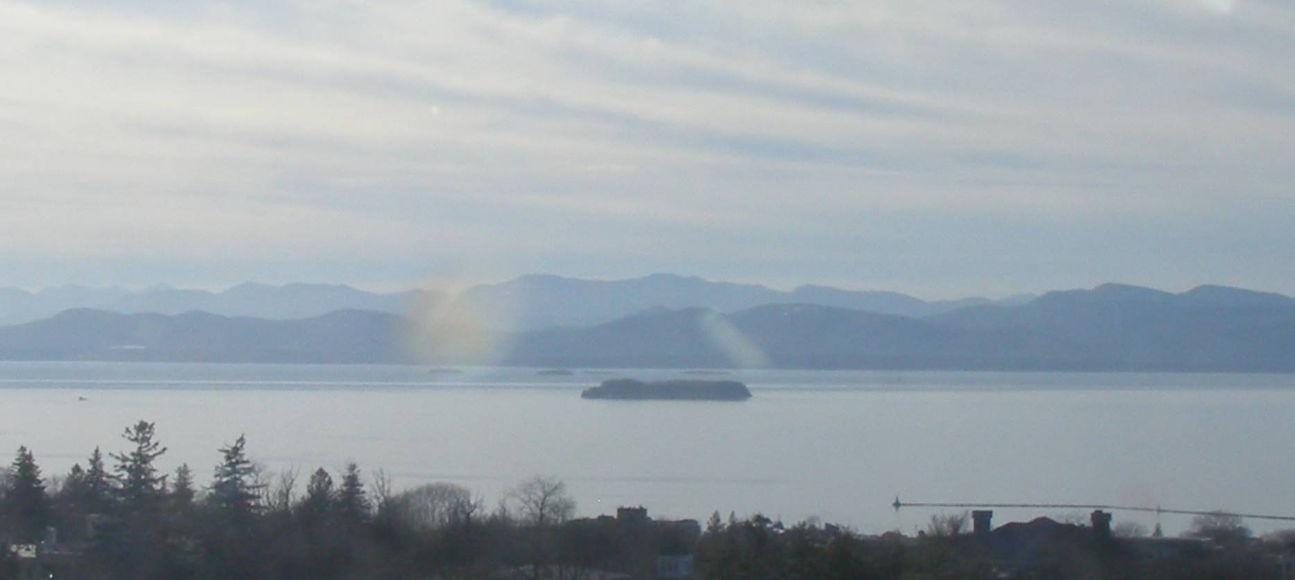
TOMORROW: Scattered sprinkles across northern areas early giving way to mostly sunny skies. A high mid to upper 40s with a possible sap run. South breeze 10 mph.
FRIDAY NIGHT: Variably cloudy with a few passing showers.A low in the mid-30s. South winds 10 mph.
SATURDAY: A couple showers or spotty freezing rain early on, then intervals of sun & mild. A high in the upper 40s to near 50. Light southwest winds.
Looking further ahead
SATURDAY NIGHT: Lots of clouds. Scattered rain showers.A low in the mid-30s.
SUNDAY: Considerable cloudiness. Cooling trend begins. Scattered wet snow showers mixed with rain valleys. A high near 40.
MONDAY: Considerable cloudiness. A rising chance for light accumulating snow showers or flurries. A low
25 to 30. A high 32 to 35.
TUESDAY: Cloudy. A chance for snow or snow showers early, with accumulation of a few inches possible southern Green Mountains. Partial sunshine later on.
Average lows single digits to low teens. Average highs mid-20s to lower 30s.
RH/2-8forecast][end]
