
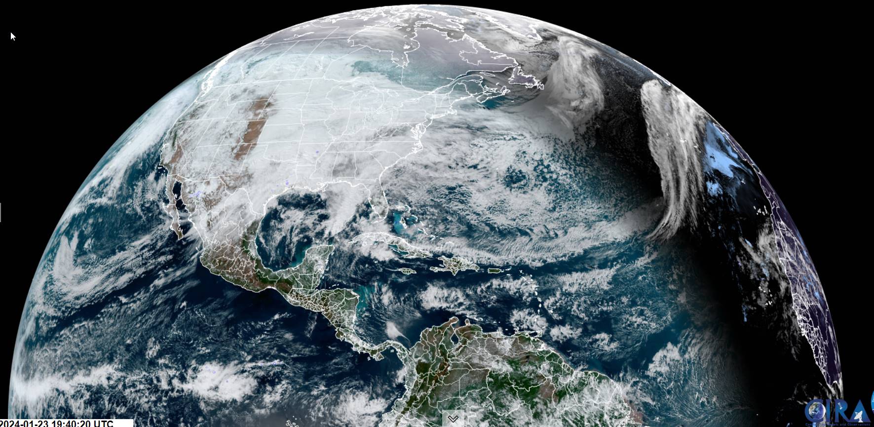
Winter Weather Advisory 7 PM thru 7 AM Thursday morning…
TONIGHT: Overcast. Light snow develops south to north this evening. A light coating with spotty freezing rain southern areas possible.A low mid-teens far north to lower 20s. Light east to southeast winds.
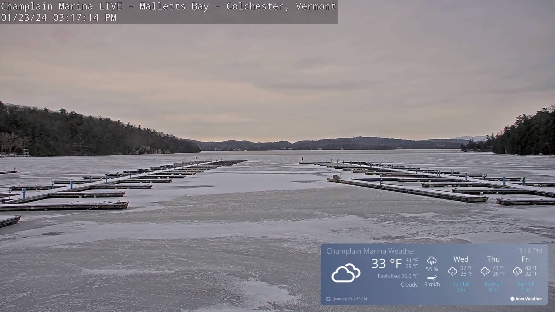
TOMORROW: Cloudy.Light snow or snow showers in progress winding down in the afternoon. About an inch of accumulation.A high around 32. Southeast winds 10 mph.
WEDNESDAY NIGHT: Cloudy.Periods of rain western areas, mixed with freezing rain and sleet likely east of the Green’s with very slick travel.An evening low in the low 30s. Light south winds.
THURSDAY: Overcast.Rain with leftover pockets of freezing rain early, producing icy travel transitioning to rain, moderate at times.Areas of fog. A high in the upper 30s.Light north winds.
Looking further ahead
THURSDAY NIGHT: Cloudy. Periods of rain likely, with a risk for spotty freezing rain toward the Connecticut River Valley A low around 35.
FRIDAY: Gray.Chance for rain with pockets of freezing rain toward New Hampshire early, otherwise scattered rain showers in the afternoon. A high in the low 40s.
SATURDAY: Clouds with some breaks of sun in the afternoon. Chance for a rain or snow shower. A low 25 to 30. A high around 30.
SUNDAY: Cloudy. Chance for wet snow possibly a few to several inches, with a wintry mix southern areas. A low upper 20s to around 30. A high near 32 degrees.
Average lows single digits. Average highs mid to upper 20s coldest period of winter.
RH/1-23forecast][end]
