
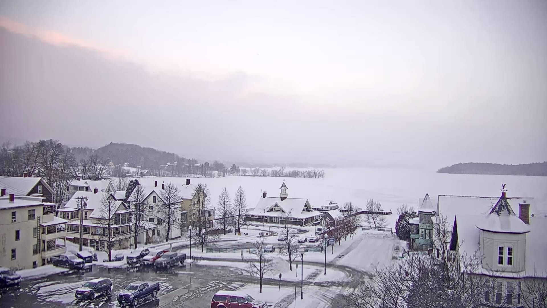
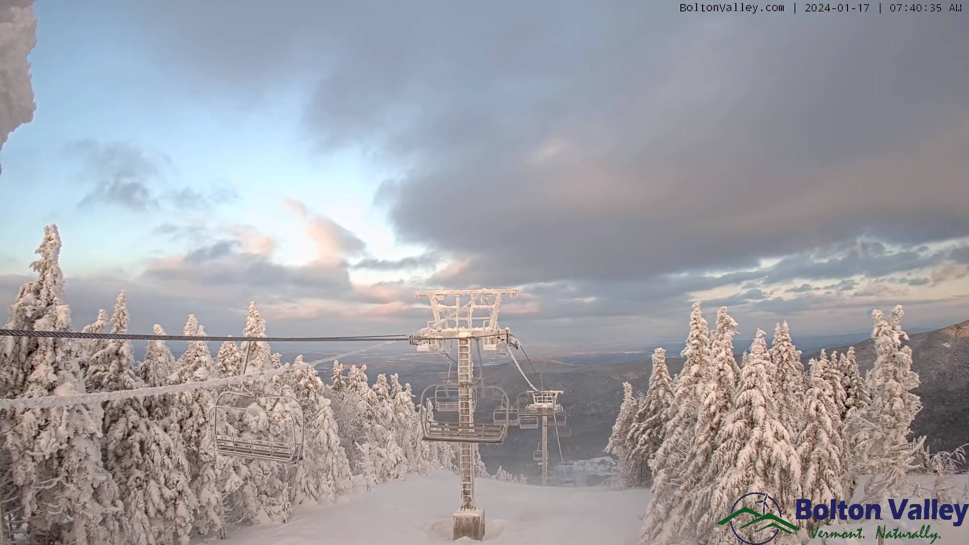
TODAY: Clouds with breaks of sun. Scattered lake effect flurries and mountain snow showers across the northern Green Mountains with a trace to locally 2” of fluff. A high in the mid to upper teens. Southwest winds 10 mph.
TONIGHT: Lots of clouds. Occasional northern mountain snow showers or flurries, a dusting to locally couple inches.A low in the single digits. Light southwest winds.
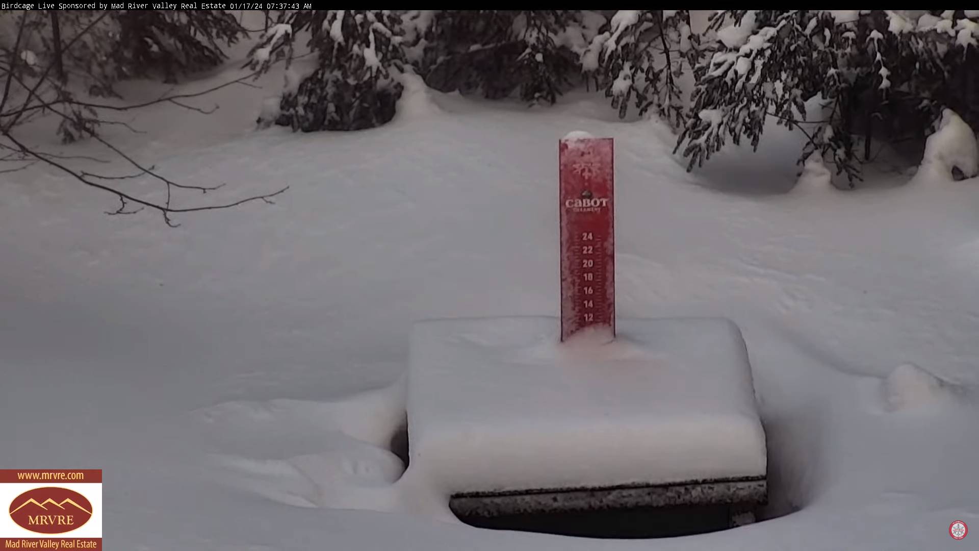
THURSDAY: Considerable clouds with breaks of sun. Rising chance for more lake effect flurries in the afternoon, with a coating. A high in the lower 20s. West winds 10 mph.
Looking further ahead
THURSDAY NIGHT: Partly to mostly cloudy. A stray flurry or two. A low about zero to 5 above.
FRIDAY: Breaks of sun far north, otherwise lots of clouds. A few mountain flurries. A high 10 to 15.
SATURDAY: Gray. Chance of mountain snow showers and valley flurries. A low 5 below to 5 above. A high about 10.
SUNDAY: Morning clouds with a few mountain flurries, becoming partly to mostly sunny later on. A low zero to 5 above. A high 10 to 15 above
MONDAY: Some morning sun, then mostly cloudy. A low zero to 10 above. A high pushing to near 30.
Average lows single digits. Average highs mid-20s to upper 20s coldest period of winter.
RH/1-17forecast][end]
