
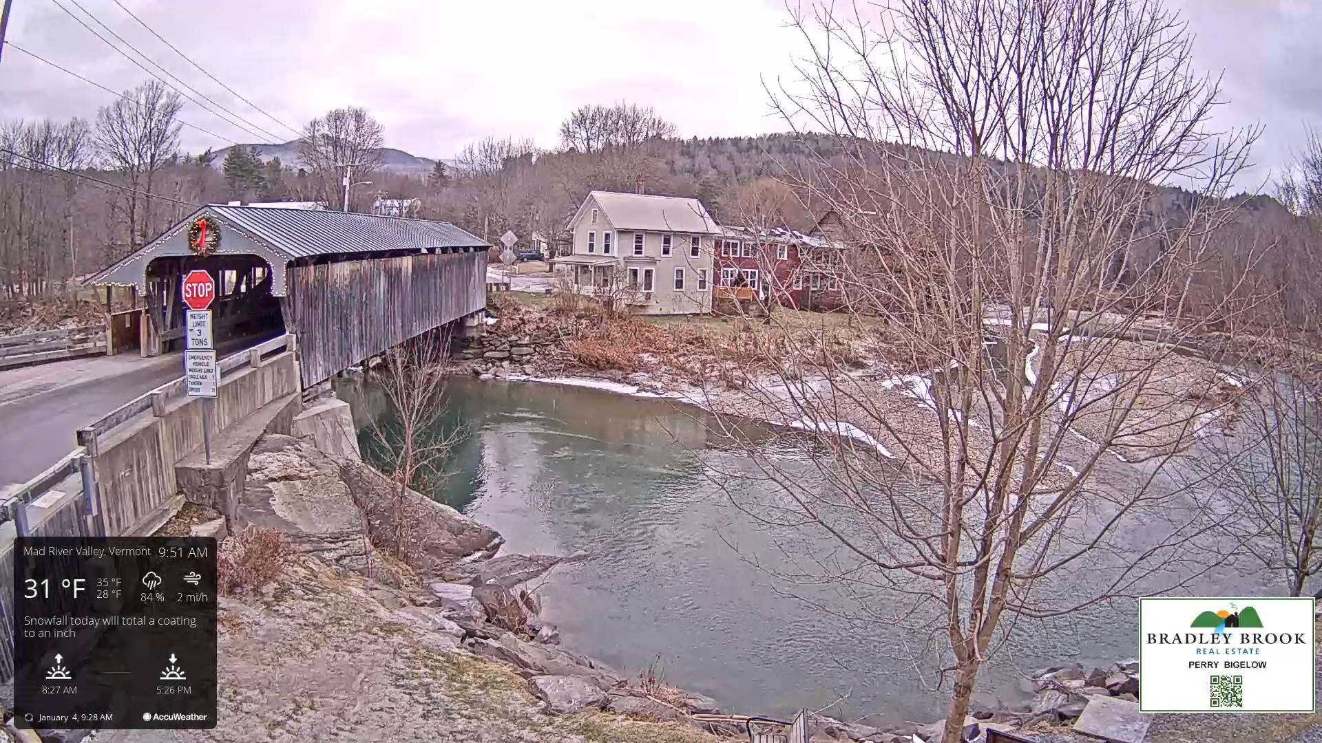
TODAY: Scattered light accumulating snow showers…a dusting to an inch this morning. Skies becomepartly to mostly sunny, and turning blustery this afternoon. Temperatures peak in the low 30s early, then falling thru the 20s. Light southwest winds shifting to northwesterly 10 to 15 mph mid to late morning on.
TONIGHT: Mostly clear with a few high clouds overnight.A low mid-single digits to around 10 above. Light northwest winds.
FRIDAY: Sunshine with few more clouds in the afternoon. Maybe a stray flurry Canadian border. A high about 25. West winds 10 mph.
Looking further ahead
FRIDAY NIGHT: Variable cloudiness.A stray northern border flurry.A low 15 to 20.
SATURDAY: Hints of morning sun, then mainly gray. A high mid-20s to near 30.
SUNDAY: Gray. Accumulating snow likely…moderate at times toward southern areas. A few to several inches possible, lesser amounts further north. A low in the upper teens. A high around 25.
MONDAY: Clouds mixing with intervals of afternoon sun. Lows in the mid-teens. A high 25 to 30.
TUESDAY: Filtered sunshine thru high clouds thickening up in the afternoon. A low upper single digits to around 15 above. A high near 30.

Average lows single digits to around 10 above. Average highs mid-20s to around 30
RH/1-3forecast][end]
