
Wind Advisory western slopes and northern tier regions thru 4 PM. Flood Watch thru Tuesday morning…
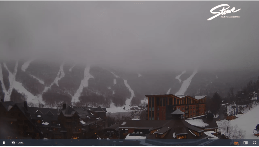
TODAY: Gray but very mild. Breezy to windy with windblown rain…heavy at times this morning into the early afternoon. Record high temperatures peak in the mid-50s. Southeasterly winds pick up to 15 to 30 mph with gusting 45 mph, shifting to westerly 10 to 25 mph with higher gusts in southern areas.
TONIGHT: A few early evening showers drying up. Otherwise partly to mostly cloudy. A low upper 20s to lower 30s. Southwest winds 10 to 15 mph.
TUESDAY: A few morning breaks of sun then lots of clouds with a few wet snow showers or flurries with little accumulation. A high in the low to mid 30s. Southwest winds shifting to northwesterly 10 to 20 mph.
Looking further ahead
TUESDAY NIGHT: Early evening clouds, then clearing and colder. A low 20 to 25.
WEDNESDAY: Mostly sunny & little more seasonable. A high around 35.
Winter Solstice December 21st 10:27 PM Thursday evening….
THURSDAY: A few morning clouds northern and western areas, then mostly sunny. A low 20 to 25. A high 25 to 30.
FRIDAY: Bright sunshine and blue skies. A low upper single digits, to mid-teens. A high around 25.
Average lows upper single digits to mid-teens. Average highs upper 20s to mid-30s
RH/12-18forecast][end]
