
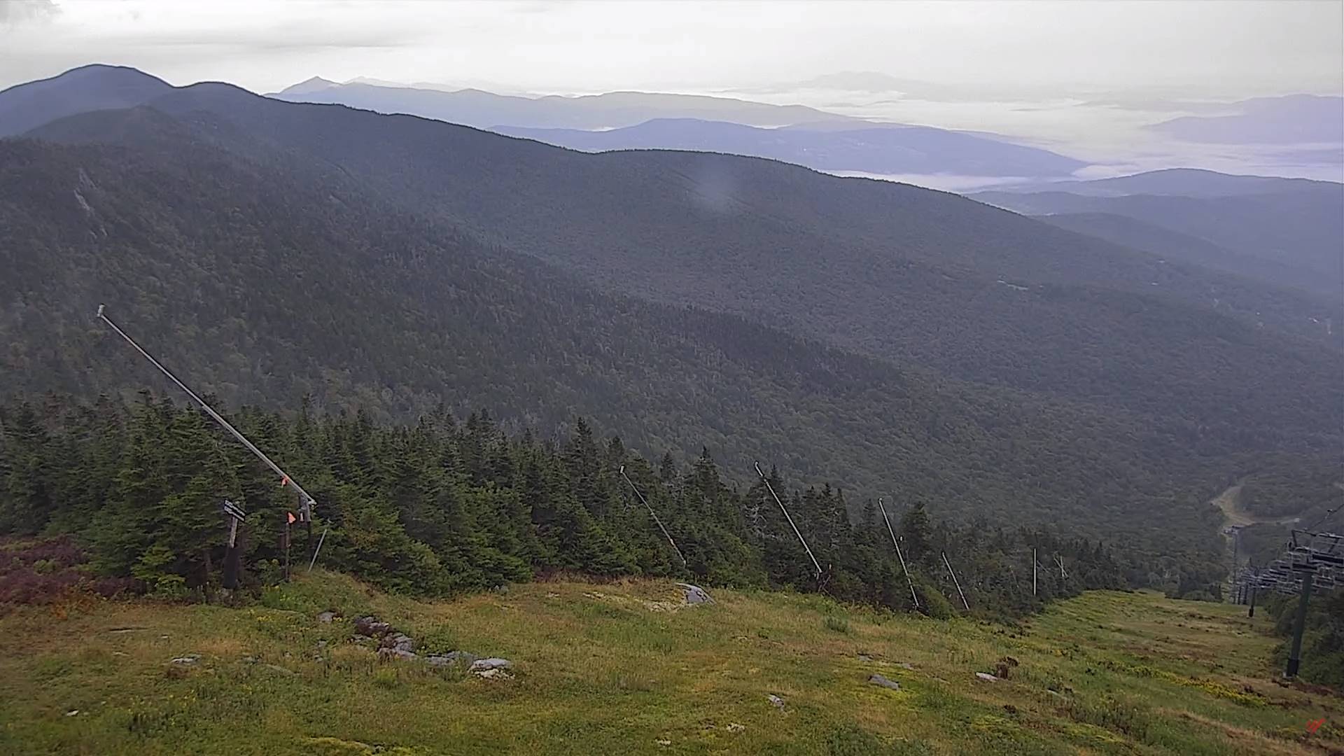
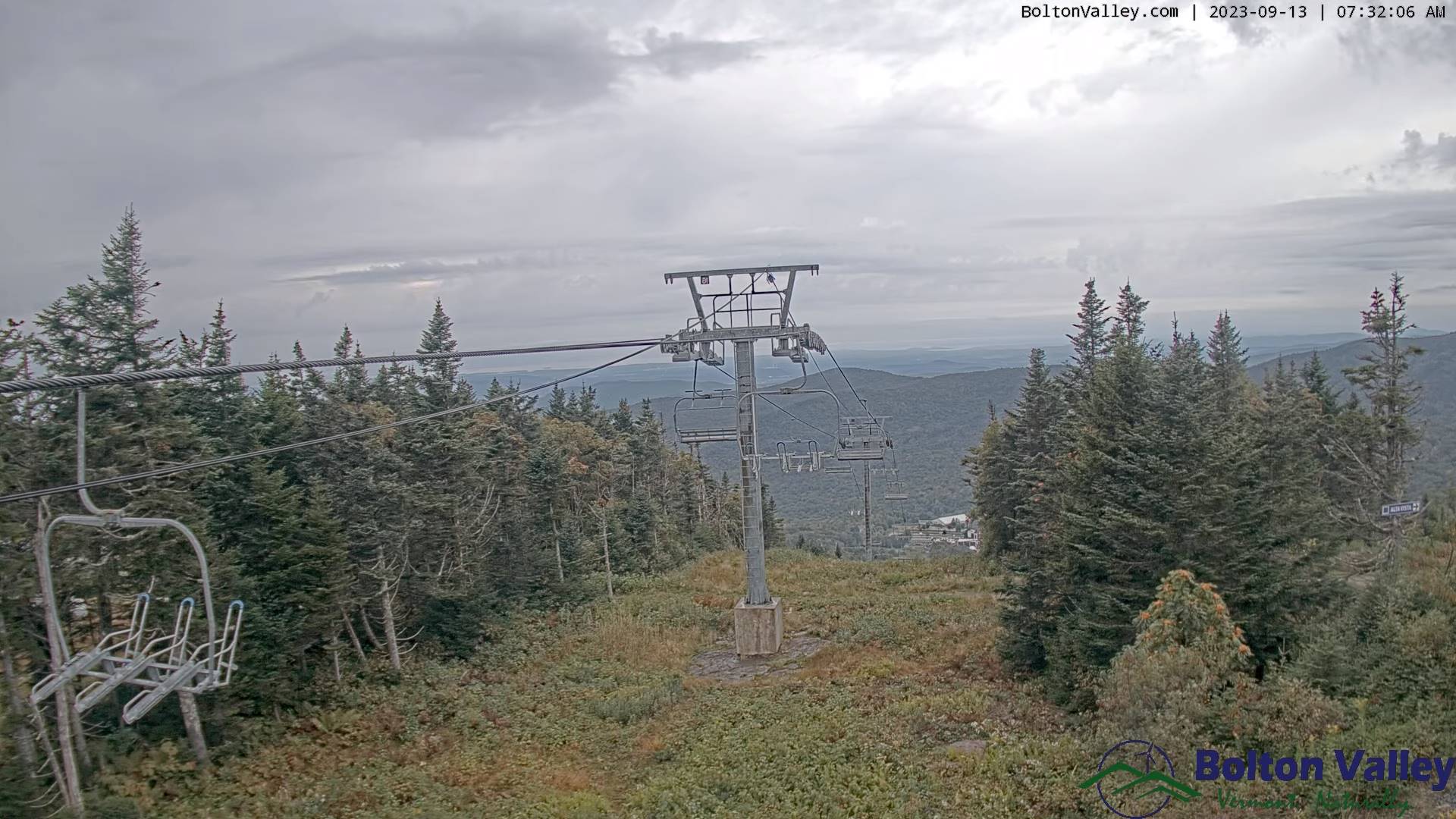
TODAY: Mainly gray. Showers, some moderate at times, maybe a rumble of thunder southern areas exiting late. Breaks of late day sun possible. A high in the mid-60s. Light south winds.
TONIGHT: A leftover shower or two dries up early, otherwise clearing. Patchy valley fog. A low around 50. Light west winds.
THURSDAY: Fog burns off to partly to mostly sunny skies, much less humid. A high around 65. Light west winds.
Looking further ahead
THURSDAY NIGHT: Mostly clear & cool. Patchy valley fog.A low in the mid-40s.
FRIDAY: Pick of the week. Sunshine with high cloudiness arriving in the afternoon. A high in the mid-60s.

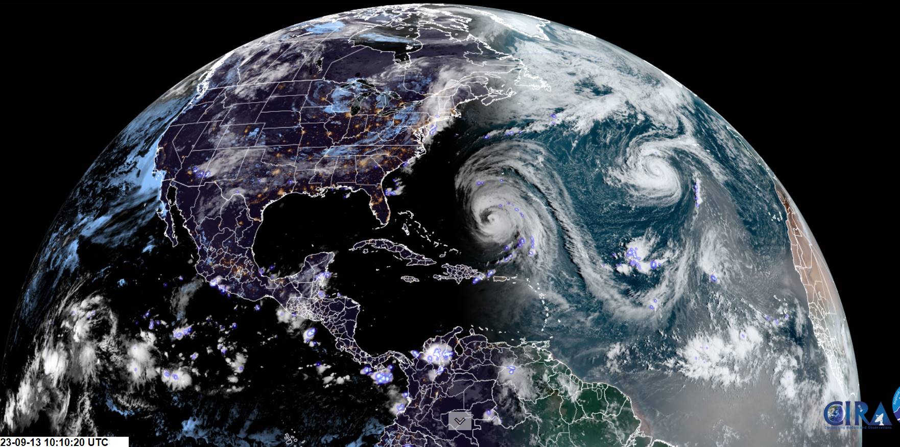
Post Tropical remnants of Hurricane Lee eastern New England side-swipe…
SATURDAY: Mainly gray. Becoming rather breezy east of the Green Mountains. Scattered showers toward New Hampshire. A lowmid to upper 40s. A high 60 to 65.
SUNDAY: Morning clouds and breezy…gives way to increasing sunshine. A low in the low 50s. A high around 70.
MONDAY: Mainly cloudy, then intervals of sun later on. Scattered showers. A low around 50. A high upper 60s.
Average lows mid-40s to around 50. Average highs upper 60s to low 70s.
RH/9-13 forecast][end]
