
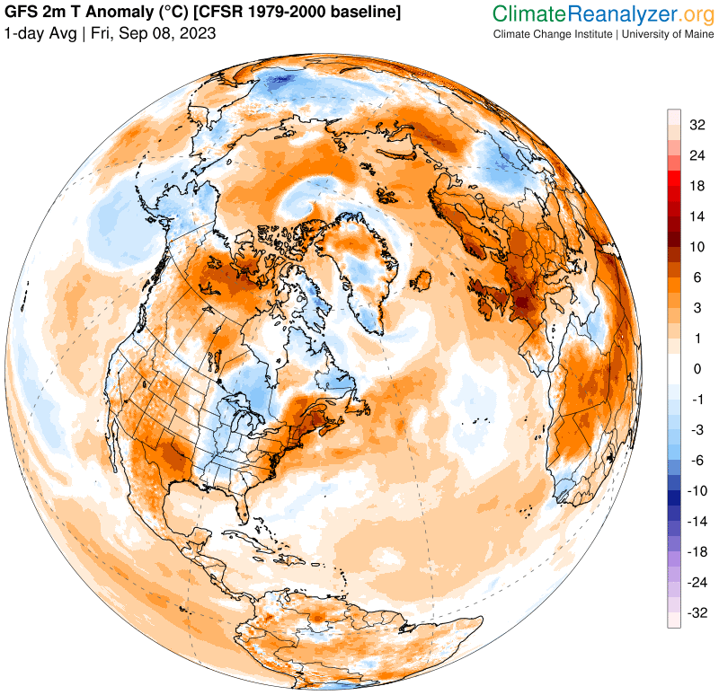
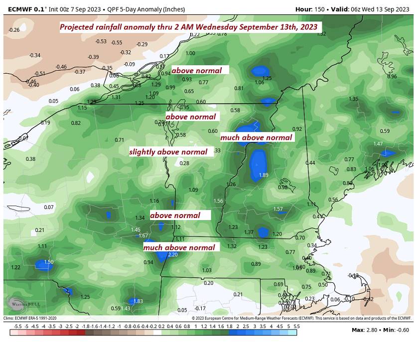
TODAY: Patchy valley fog burns off to mixed sun and clouds. Mid to late afternoon showers and thunderstorms, some possibly strong and locally heavy. Continued sticky. A high 80 to 85. Heat indices mid to upper 80s. Light southwest winds.
TONIGHT: Scattered showers with a few leftover thunderstorms early…some strong and locally heavy. Otherwise mostly cloudy. A low about 65. Light west winds.
SATURDAY: Intervals of sun mixed with lots of clouds. Afternoon showers and thunderstorms likely central and southern areas. A high in the low-80s. Light northwest winds.
Looking further ahead
SATURDAY NIGHT: Lots of clouds. Slight chance for a shower or thunderstorm. Still somewhat muggy. A low in the low to mid 60s.
SUNDAY: Mainly cloudy. Good chance for showers and embedded thunderstorms in the afternoon. A high 70 to 75.
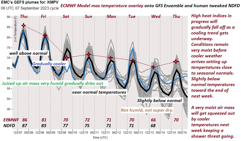
MONDAY: Considerable cloudiness. Scattered showers, with an isolated thunderstorm. A low about 60. A high around 70.
TUESDAY: Mostly cloudy. Chance for mainly afternoon showers. A low upper 50s. A high around 70.
Average lows mid-40s to mid-50s. Average highs in the low to mid 70s.
RH/9-7 forecast][end]
