
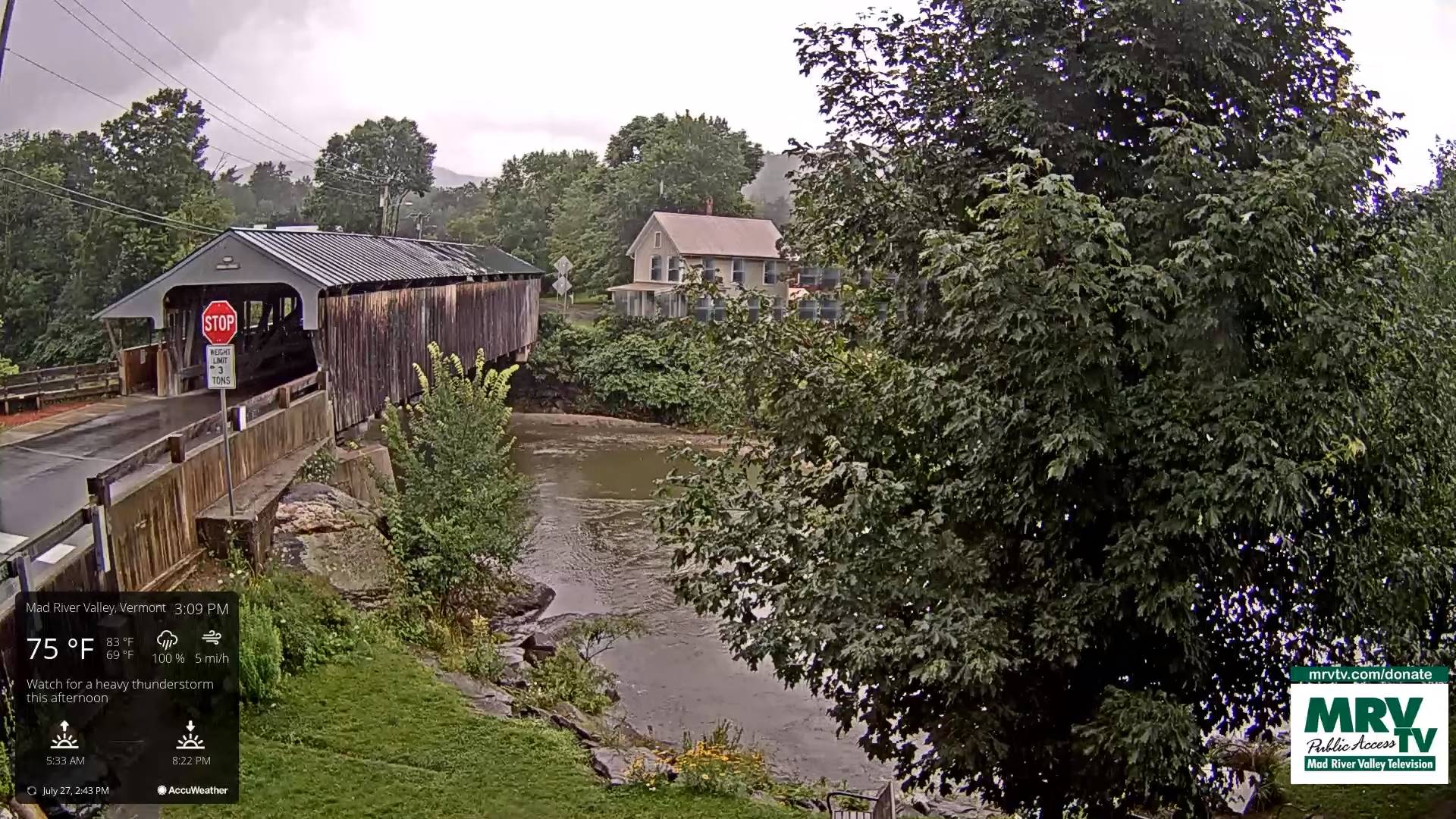
Flood Watch thru this evening
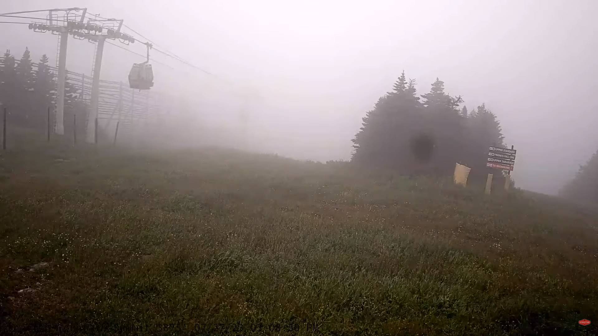
TONIGHT: Isolated early evening showers exit. Otherwise gradual clearing to lead to widespread valley fog. A low in the lower 60s. Light west winds.
TOMORROW: Morning fog, then partly to mostly sunny. Sticky. A high pushing into the upper 80s to near 90, with heat indices in the low to mid 90s. Light southwest winds.
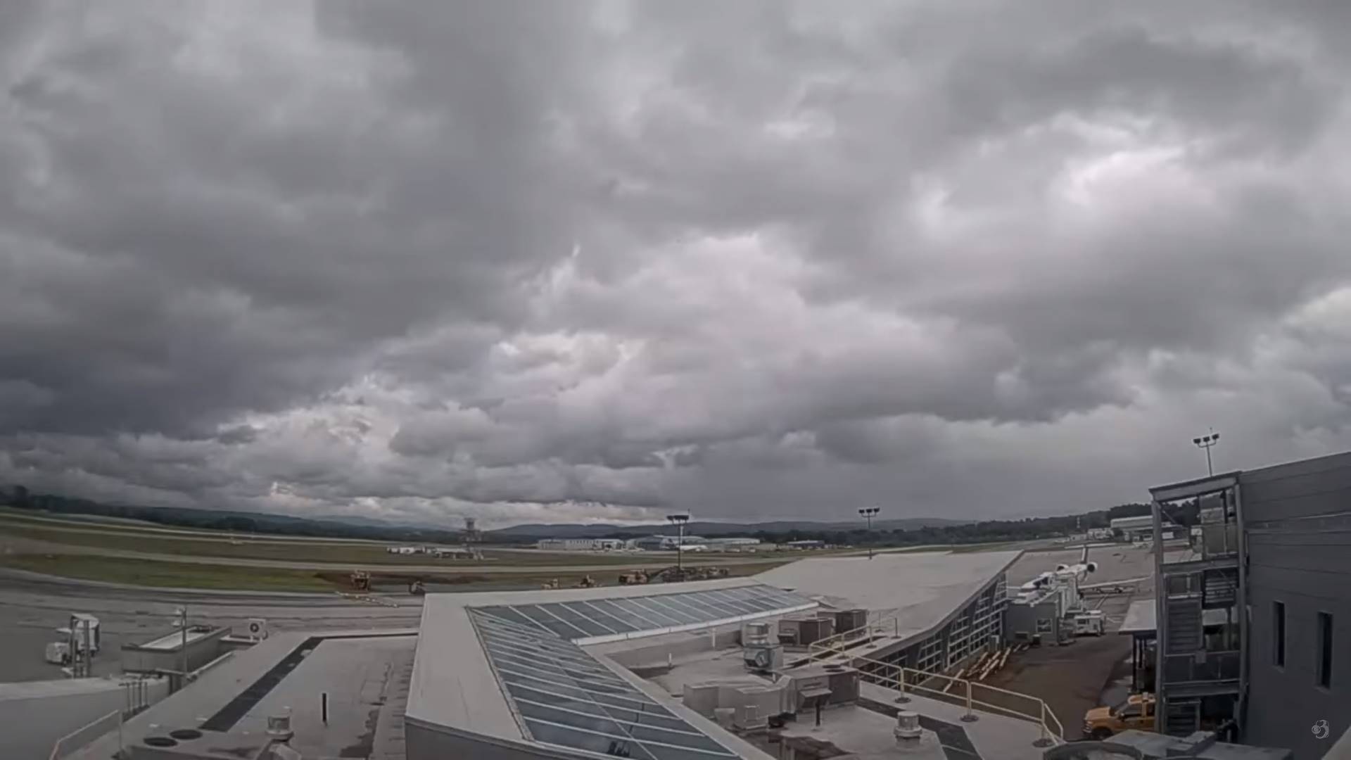
FRIDAY NIGHT: Fair in the evening then increasing cloudiness. Isolated thunderstorms near the Quebec border after midnight. A low around 65. Light southwest winds.
SATURDAY: Mainly cloudy & very muggy. Chance for rain or showers with embedded heavy thunderstorms. One or two possibly strong. A high mid to upper 70s. Light north breeze.
Looking further ahead
SATURDAY NIGHT: Becoming mostly clear sharply cooler and much less humid. Widespread valley fog. A low 50 to 55.
SUNDAY: Sunshine mixing with afternoon clouds. Low to moderate humidity. A high in the low 70s.
MONDAY: Partial morning sunshine gives way to afternoon clouds with a chance for showers. A low 50 to 55. A high upper 60s.
TUESDAY: Patchy valley fog burns to mixed sun and clouds. Cooler than normal. A low in the upper 40s. A high in the upper 60s.
WEDNESDAY: Patchy valley fog, then mostly sunny. Continued low to moderate humidity. A low 45 to 50. A high around 75.
Average lows 55 to 60. Average high upper 70s to low 80s.
RH/7-27 forecast][end]
