
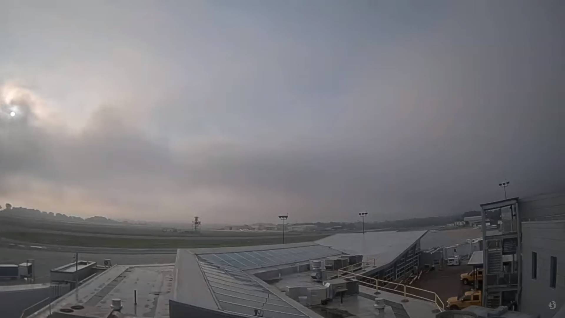
TODAY: Morning fog burns off to hazy sunshine with wildfire smoke clearing out this afternoon. A high around 80. West to northwest breeze 10 mph.
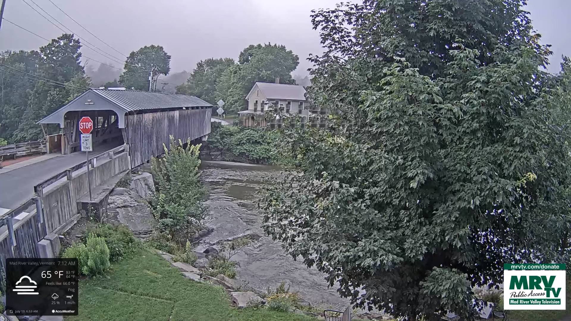
TONIGHT: Mostly clear with patchy valley fog. Cooler and a little less humid. A low near 55. Little wind.
THURSDAY: Partly to mostly sunny. A high in the low 80s.Light south winds.
Looking further ahead
THURSDAY NIGHT: Mostly clear for a time in the evening, then clouding up. A low 60 to 65.
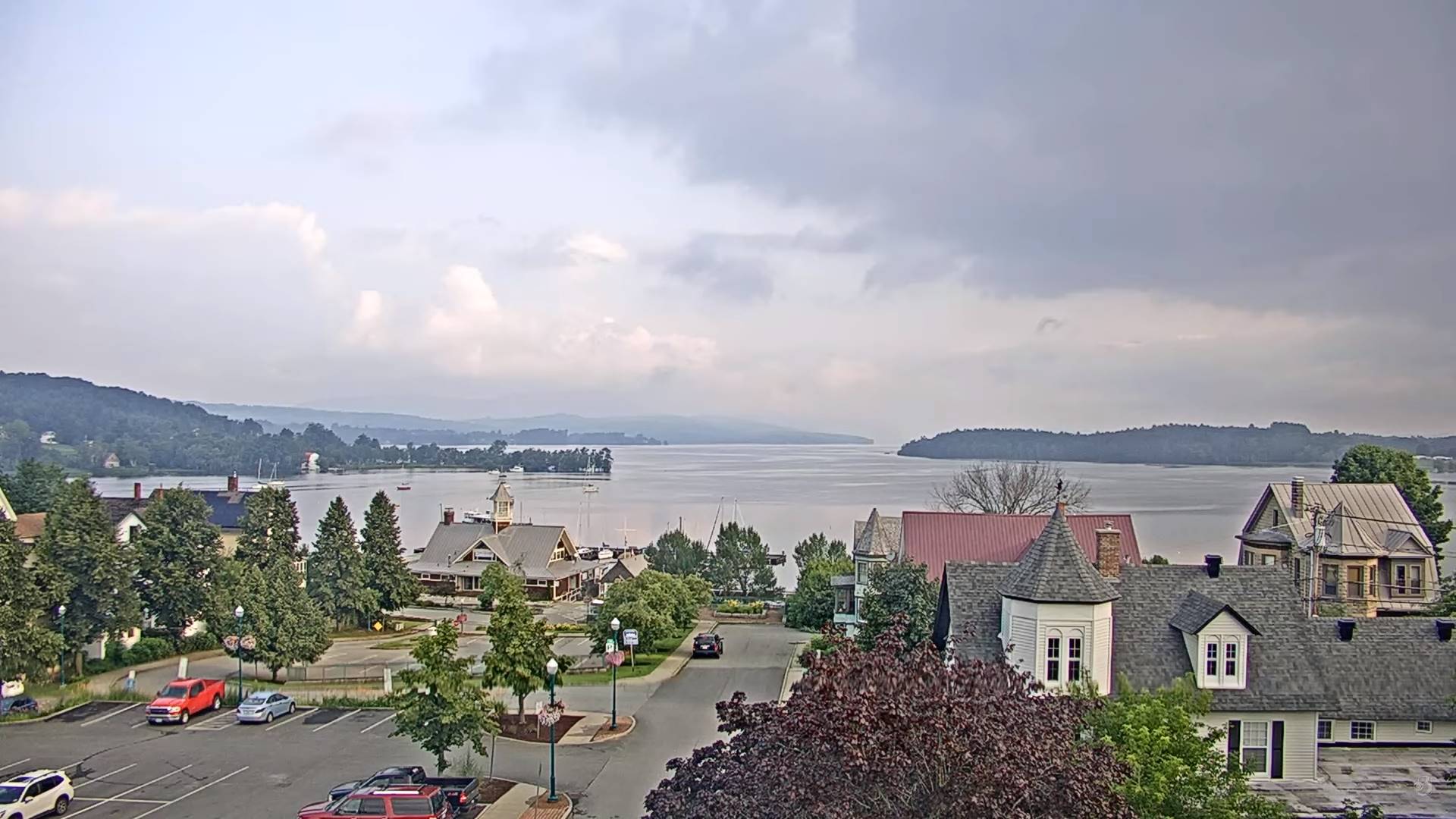
FRIDAY: Cloudy. Rising likelihood for showers, moderate to heavy at times and isolated afternoon heavy thunderstorms. More muggy again. A high in the mid-70s.
Approximate peak of summer or half way point…
SATURDAY: Morning fog burns off to partly to mostly sunny skies. A few showers maybe a rumble of thunder far northern areas. A low around 60. A high 75 to 80.
SUNDAY: Lots of sunshine with a few high clouds. A low in the mid-50s. A high upper 70s.

MONDAY: Partly to mostly sunny. A low near 55. A high in the low 80s.
Average lows 55 to 60. Average high upper 70s to low 80s.
Approximate peak of summer this Saturday…
RH/7-18 forecast][end]
