
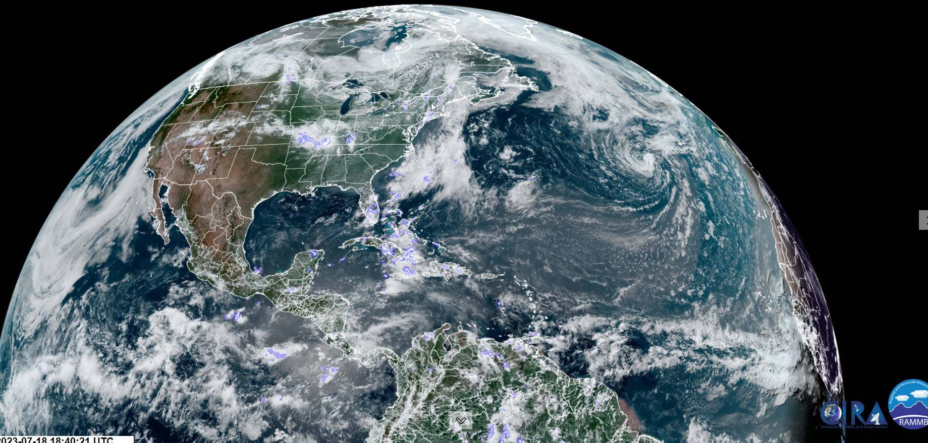
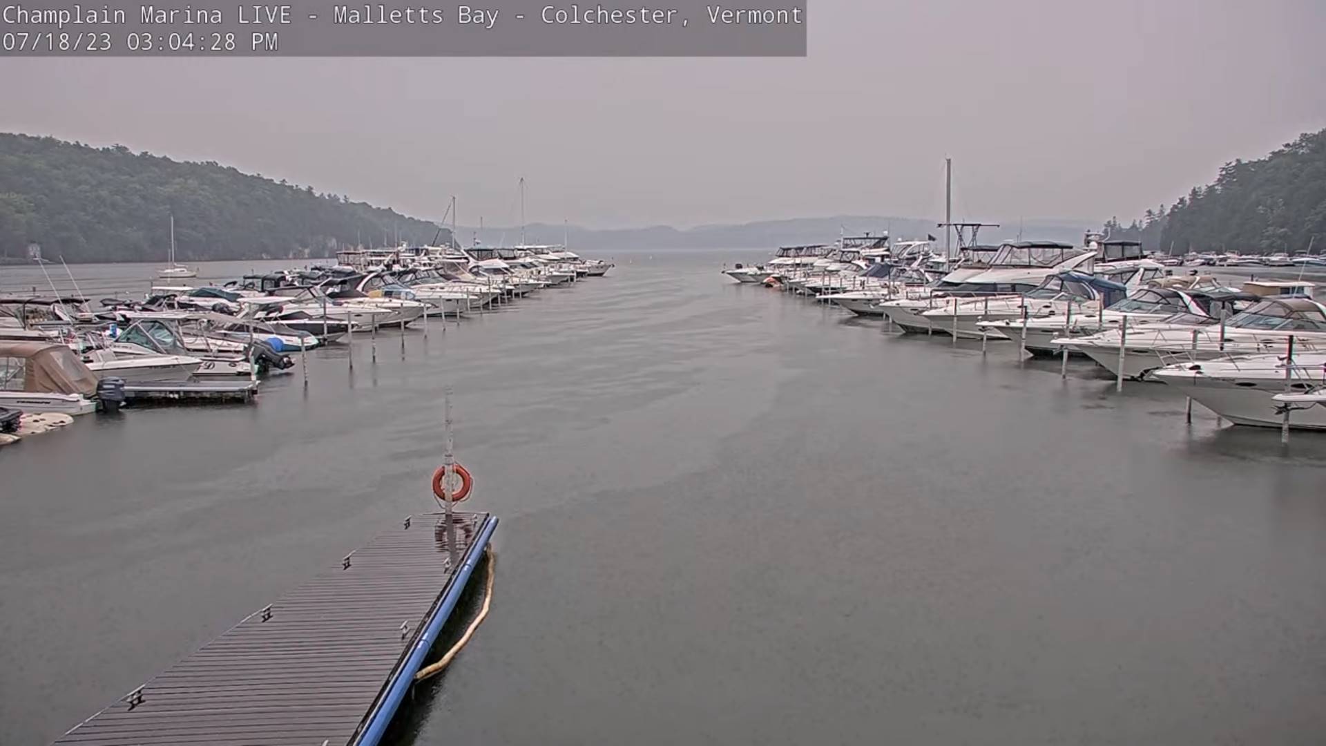
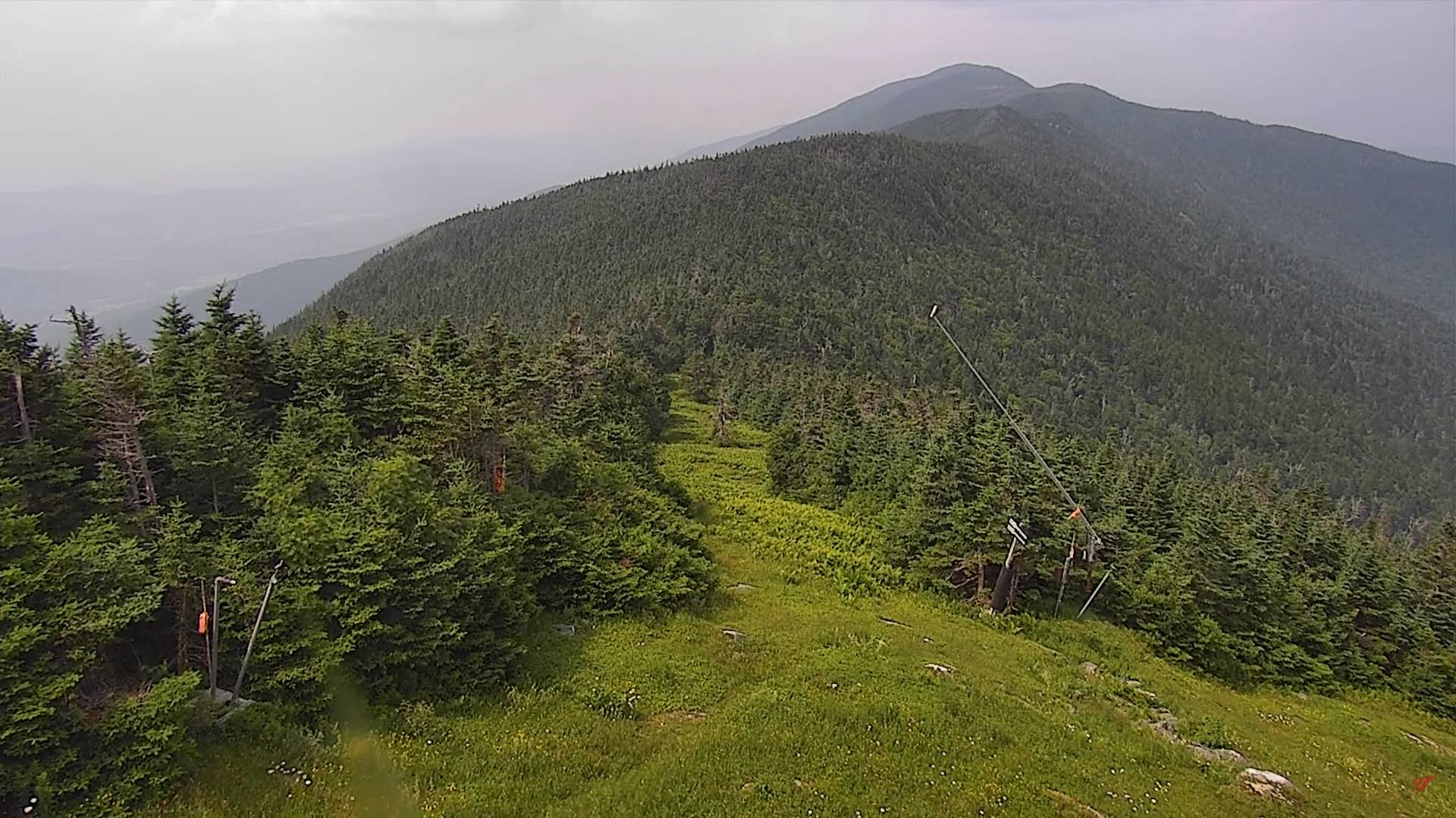
Flood Watch thru 2 AM Wednesday morning…Air Quality Alert thru midnight tonight.
TONIGHT: Showers and isolated heavy thunderstorms lingering into this evening. Partial clearing overnight with valley fog. A low around 60. Light southwest winds.
TOMORROW: Patchy fog burns off to partly to mostly sunny skies. A high around 80. West to northwest breeze 10 mph.
WEDNESDAY NIGHT: Mostly clear with patchy valley fog. Cooler and a little less humid. A low in the mid-50s. Little wind.
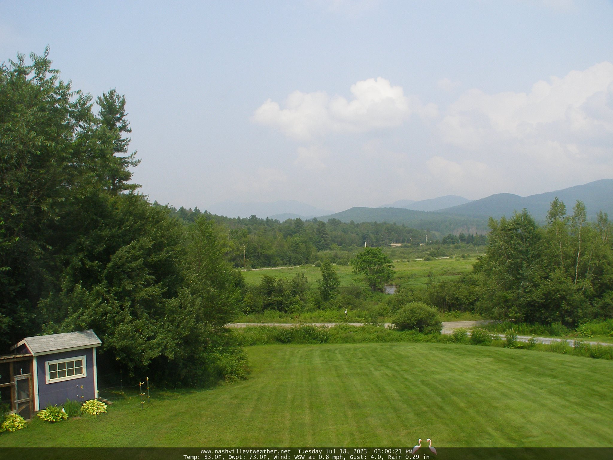
THURSDAY: Partly to mostly sunny. A high in the low 80s.Light south winds.
Looking further ahead
THURSDAY NIGHT: Mostly clear for a time in the evening, then increasingly cloudy. A low in the low 60s,
FRIDAY: Cloudy. Rising chance for showers and isolated afternoon heavy thunderstorms. Increasingly more humid. A high 75 to 80.
SATURDAY: Morning cloudiness, giving to partial afternoon sunshine. Widely scattered showers, maybe a thunderstorm. A low around 60. A high 75 to 80.
SUNDAY: Isolated to widely scattered showers. Otherwise partly cloudy. A low in the mid-50s. A high upper 70s.
Average lows 55 to 60. Average high upper 70s to low 80s.
Summer temps peak July 22nd
RH/7-18 forecast][end]
