
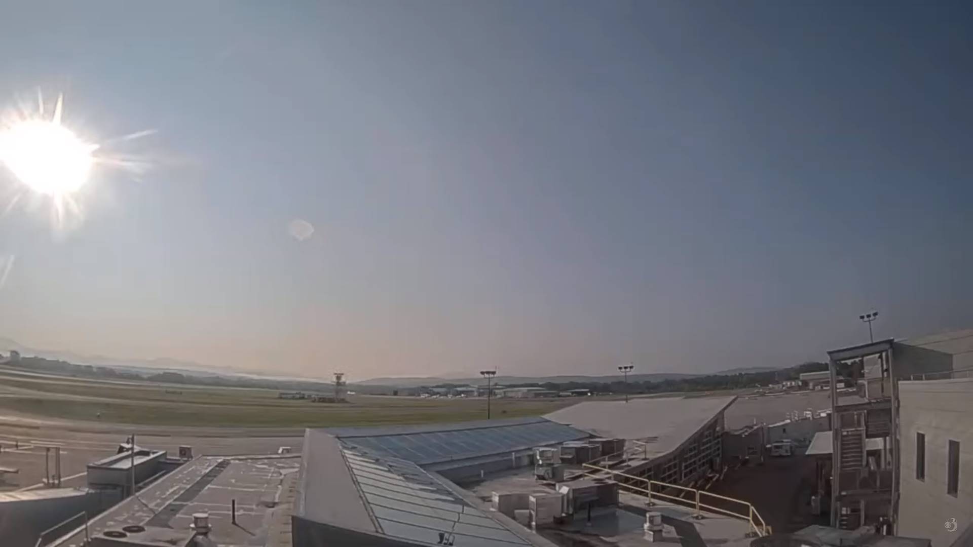
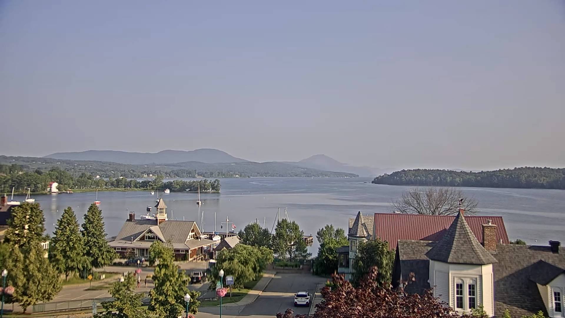
TODAY: Morning low clouds and valley fog then partly to mostly sunny skies. Isolated pop-up showers near the mountains. A high near 85. Light northwest winds.
TONIGHT: Mostly clear and partially moonlit. Considerable valley fog. A low in the mid-60s. Light south winds.
THURSDAY: Morning fog burns off to mostly sunny skies. Isolated pop-up showers & thunderstorms. Hot and sticky. A high mid-80s to near 90. Light south winds.
Looking further ahead
THURSDAY NIGHT: Mostly clear with patchy valley fog. A low in the upper 60s.
FRIDAY: Some partial morning sunshine, then lot of afternoon clouds. Good chance for a round or two of showers and thunderstorms in the afternoon, some possibly strong & locally heavy. Sultry. A high in the low to mid 80s
SATURDAY: Partly to mostly sunny, a little less humid. A low in the mid-60s. A high around 80.
SUNDAY: Gray with periods of rain or showers. Maybe a rumble of thunder. A low in the lower 60s, and highs dampened down to around 70.
Average lows 55 to 60. Average high upper 70s around 80.
Summer temps peak July 22nd
RH/7-5 forecast][end]
