
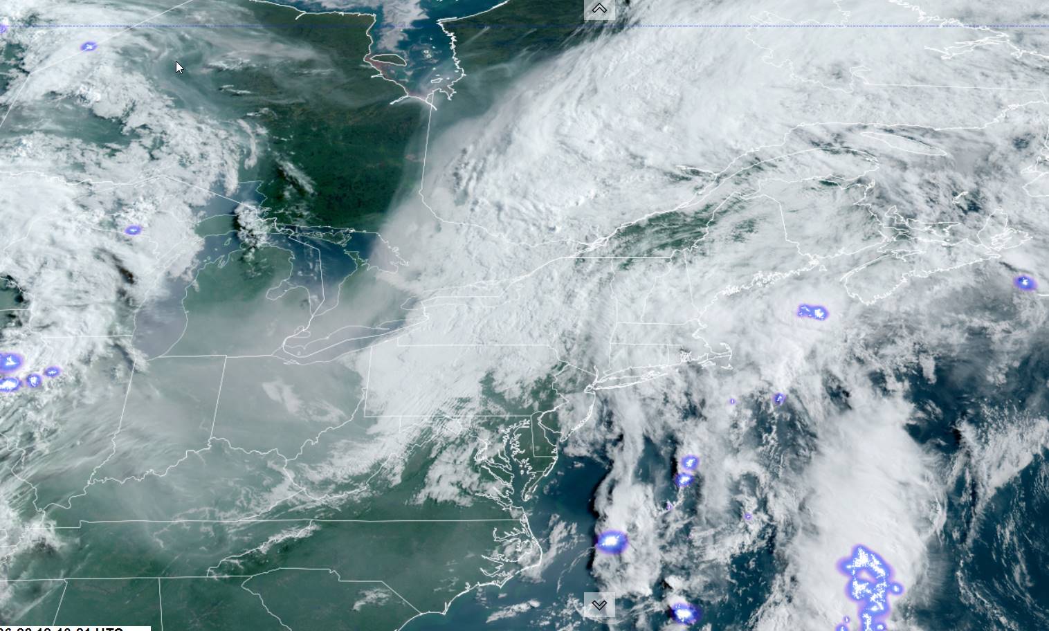
TODAY: Clouds with breaks or intervals of sun. Isolated showers possible this morning…more numerous this afternoon with isolated thunderstorms especially eastern areas. A high near 75. South breeze 10 mph.
TONIGHT: Partly to mostly cloudy. Isolated showers maybe a thunderstorm. Patchy valley fog. A low around 60. Light southeast winds.
THURSDAY: Partly sunny. Widely scattered afternoon & early evening showers and isolated thunderstorms. A high 70 to 75. Light south to southwest breeze.
Looking further ahead
THURSDAY NIGHT: Clear in the evening then partly cloudy. A low upper 50s to around 60.
FRIDAY: Pick of the week. Morning clouds then partly to mostly sunny. Just an isolated mountain shower threat. A high reaching to around 80.

SATURDAY: Clouds mixing with periods of sunshine. Chance for numerous showers and afternoon thunderstorms. A low around 60. A high 75 to 80.
SUNDAY: Mostly cloudy. Widely scattered showers and afternoon thunderstorms. A low 60 to 65. A high 70 to 75.
MONDAY: Chance for a few showers & isolated thunder. Otherwise, lots of clouds giving way to partial sunshine. A low near 60. A high 70 to 75.
TUESDAY: Clouds and mixed sun. Widely scattered showers and afternoon thunderstorms. A low around 65. A high around 75.
Average lows mid to upper 50s. Average mid-70s to around 80.
Approximate Peak of summer July 22nd
RH/6-27 forecast][end]
