

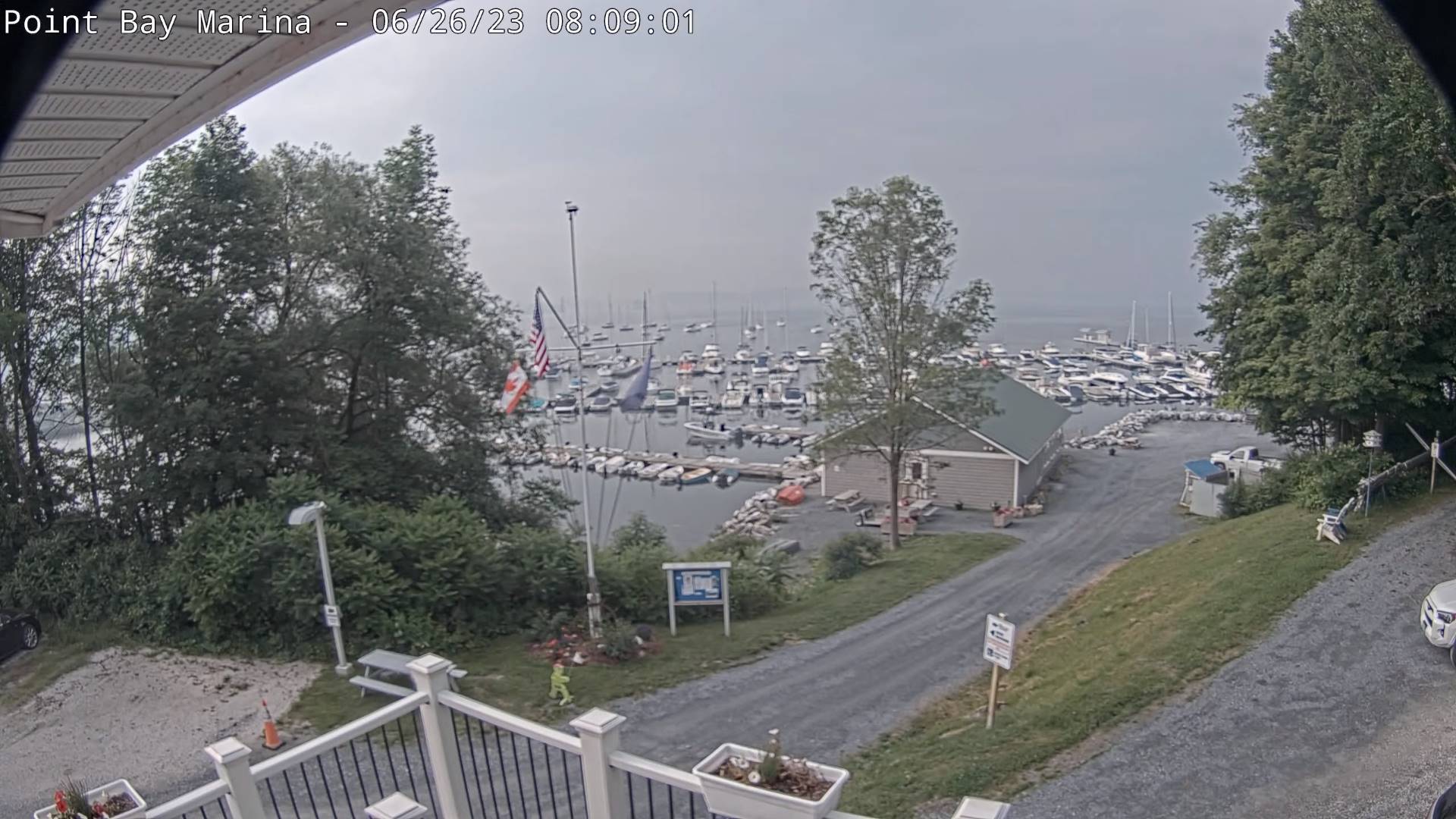
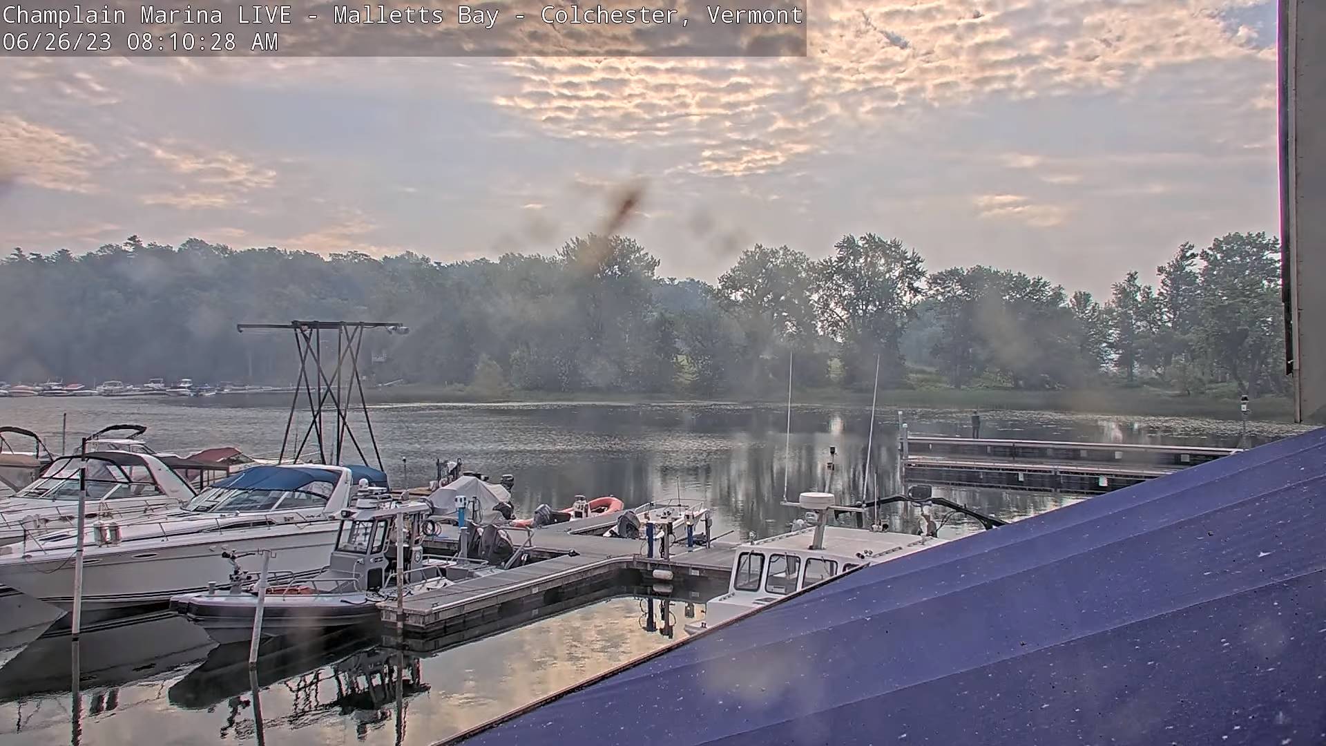
Air quality alert expires at 9 AM.
TODAY: Hazy with lots of clouds this morning and a few intervals of sun. Widely scattered showers and isolated thunderstorms this morning far northern areas. Scattered showers and thunderstorms some possibly strong & locally heavy developing mid to late afternoon. A high mid to upper 70s. Southeast breeze 10 mph.
TONIGHT: Mostly cloudy. Widely scattered showers and locally heavy thunderstorms early winding down. A low around 65. Light southeast winds.
TUESDAY: Clouds with a few breaks of sun. Widely scattered showers and locally heavy afternoon thunderstorms. A high mid-70s. Southeast breeze 10 mph.
Looking further ahead

TUESDAY NIGHT: Mostly cloudy. Widely scattered showers and isolated night time thunderstorms. A low in the lower 60s.
WEDNESDAY: Mostly cloudy. Chance for showers and afternoon rumbles of thunder. A high near 75.
THURSDAY: Partly sunny. Widely scattered afternoon early evening showers and thunderstorms. A low 60 to 65. A high mid to upper 70s.
FRIDAY: Partly to mostly cloudy. Scattered showers and isolated rumbles of thunder. A low 60 to 65. A high
around 75.

Average lows mid to upper 50s. Average mid-70s to around 80
Approximate Peak of summer July 22nd
RH/6-26 forecast][end]
