
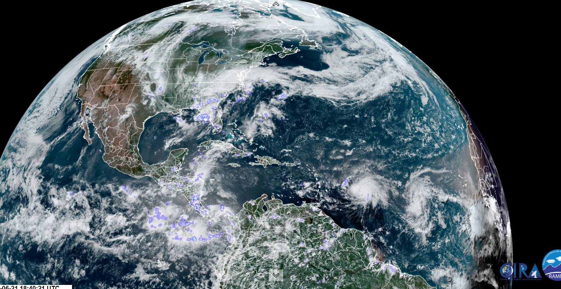
TONIGHT: Mostly clear. Patchy valley fog. A low 50 to 55. Light southeast winds.
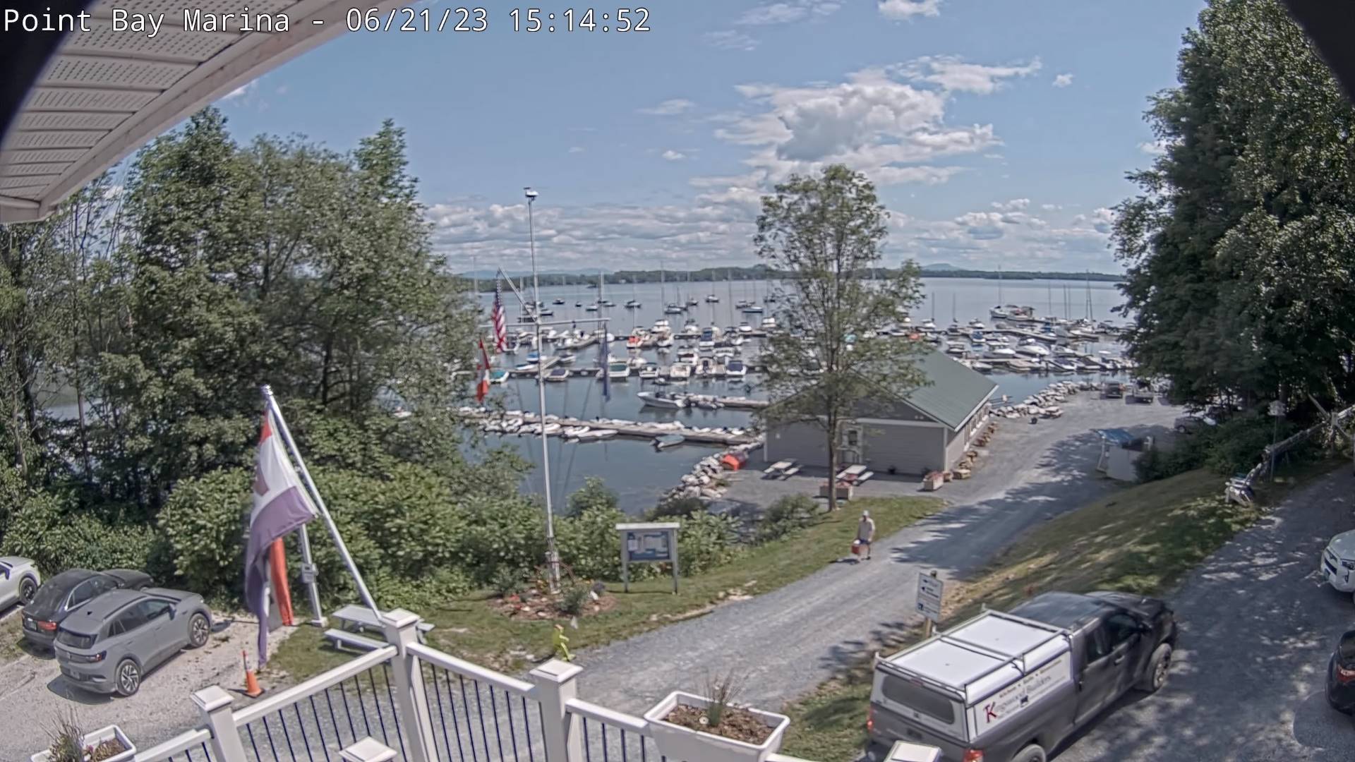
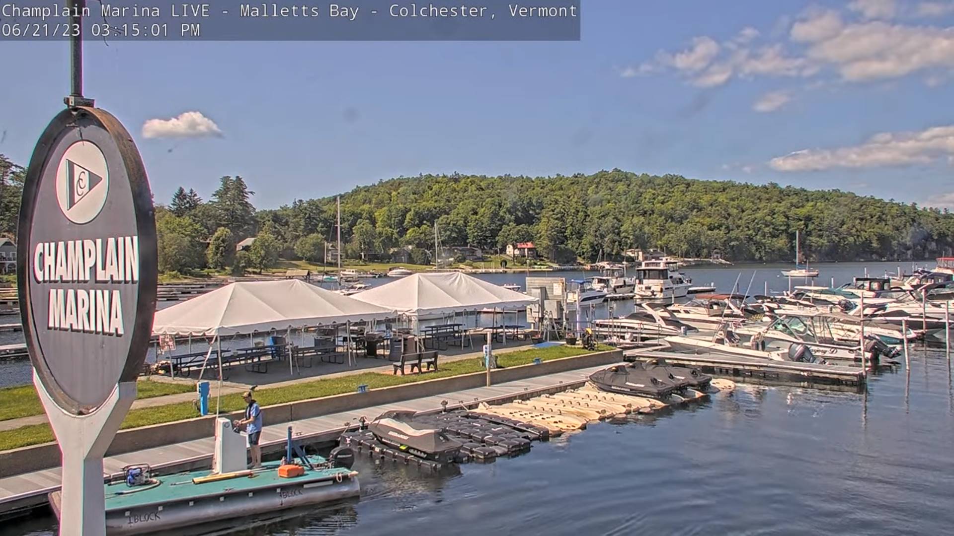
TOMORROW: Mostly sunny. A little more humid. A high upper 70s to near 80. Light southeasterly breeze.
THURSDAY NIGHT: Mostly clear then clouding up overnight. Spotty drizzle or sprinkles developing southern into central areas late. A low mid-50s. Light southeasterly breeze
FRIDAY: Mainly cloudy and muggy. A rising chance for mainly afternoon showers central Vermont on south. A high in the mid to upper 70s. South breeze 10 mph.
Looking further ahead
FRIDAY NIGHT: Overcast and muggy. A chance for showers. A low in the mid-60s
SATURDAY: Clouds, with some intervals of afternoon sun. Sticky. Chance for showers & afternoon thunderstorms…some with locally heavy downpours. A high near 75.
SUNDAY: Considerable clouds with breaks of sun. Chance for showers & afternoon thunderstorms…some with locally heavy downpours. A low 60 to 65. A high in the upper 70s.
MONDAY: Clouds mixed with a lots of sun.. Scattered showers and afternoon thunderstorms. A low 60 to 65. A high mid-70s to around 80.
Average lows mid to upper 50s. Average highs 75 to 80.
Approximate Peak of summer July 22nd
RH/6-21 forecast][end]
