
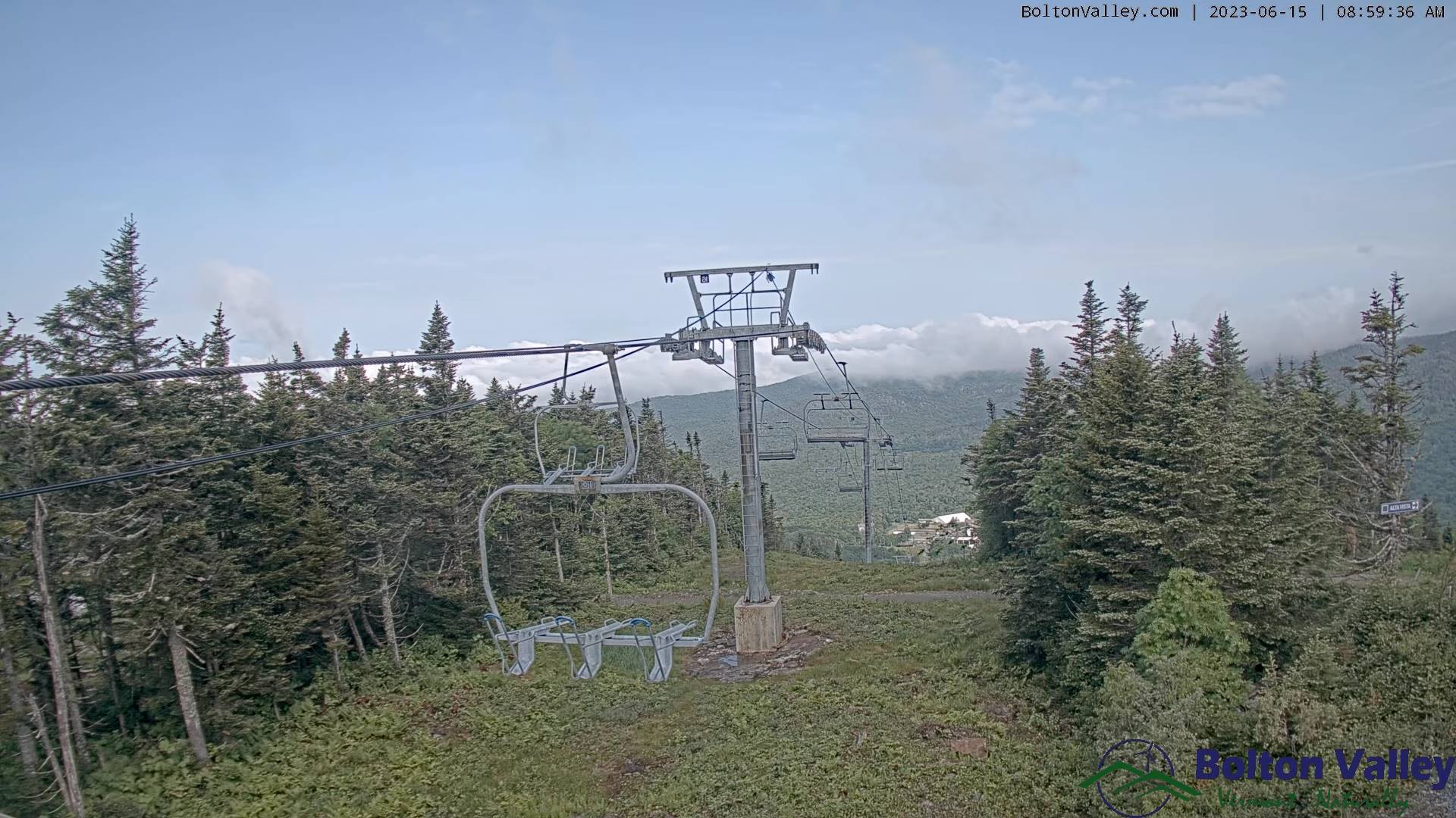
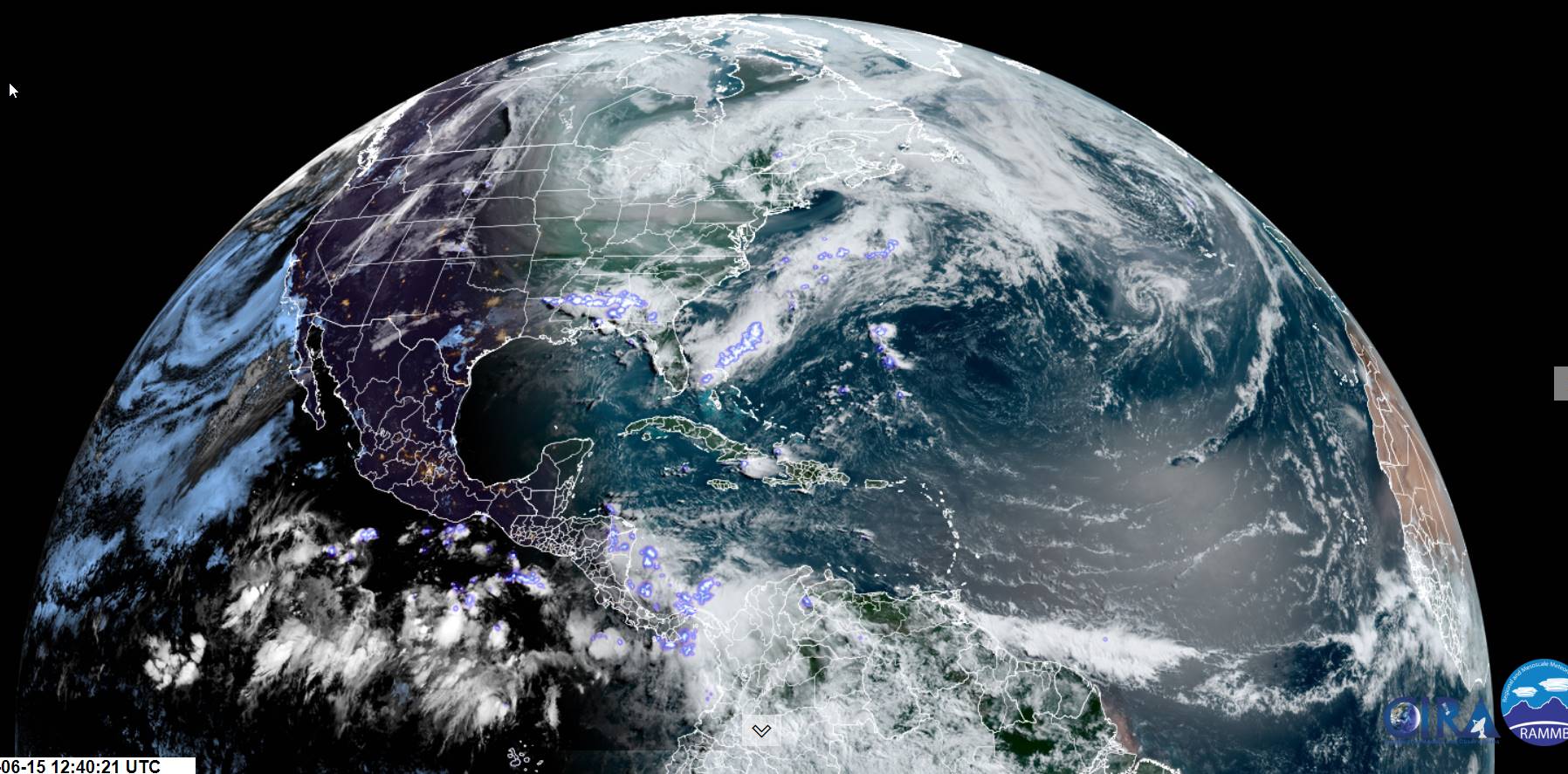
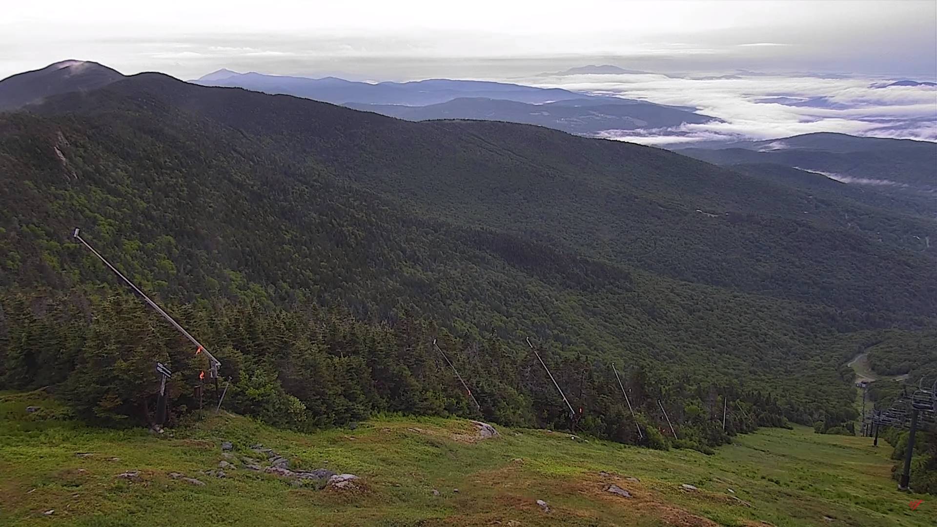
TODAY: Morning fog, then partly sunny. Widely scattered hit and miss afternoon showers & thunderstorm especially northern tier areas. A high 70 to 75. Northwest breeze 10 mph.
TONIGHT: Slight chance for a shower northern areas this evening, otherwise variably mainly high clouds. Patchy valley fog. A low in the mid-50s. Light southwest winds.
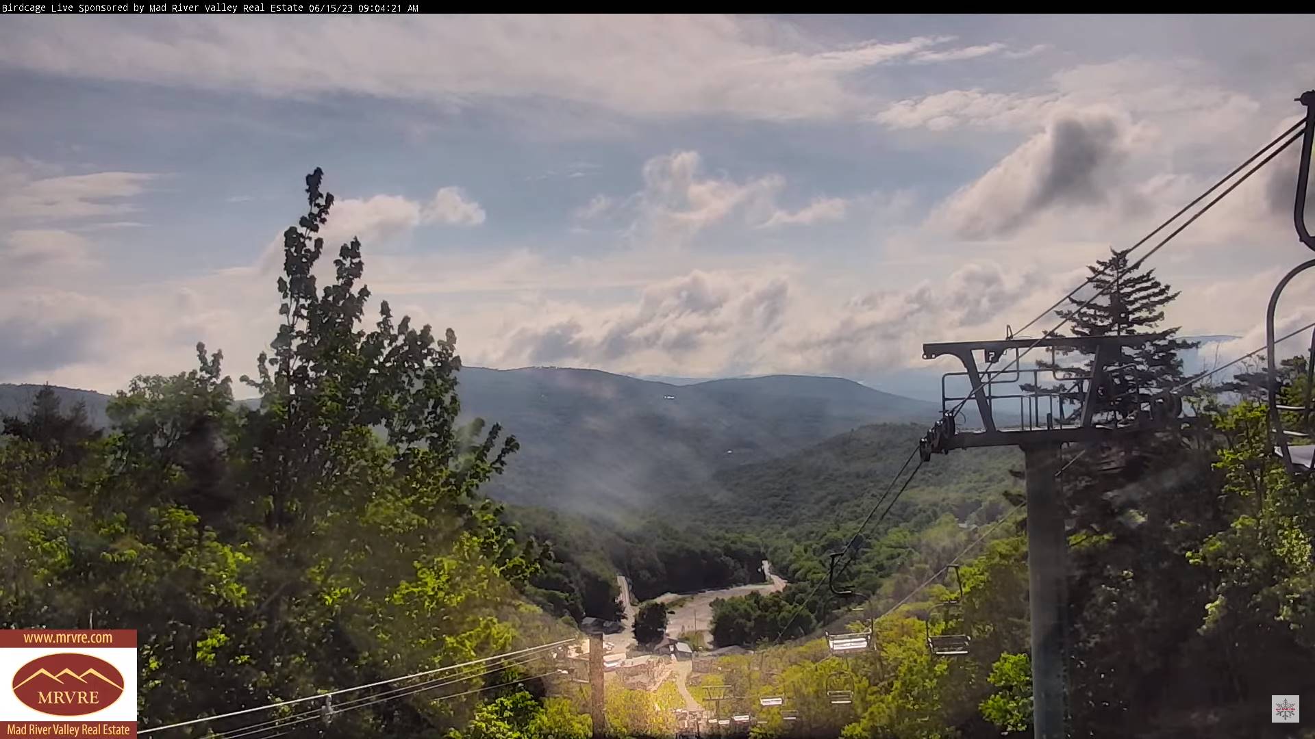
FRIDAY: Intervals of sunshine then more clouds. Widely scattered late afternoon early evening hit and miss showers and thunderstorms. A high about 75. Light winds.
Looking further ahead
FRIDAY NIGHT: Overcast. Scattered showers maybe a rumble of thunder in the evening. A low in the mid-50s.
SATURDAY: Generally gray damp and cooler. Chance for showers, maybe an isolated rumble of thunder. A high around 65.
SUNDAY: Mainly cloudy with a chance for morning showers. Partly sunny in the afternoon with widely scattered hit and miss showers and isolated rumbles of thunder. A low in the upper 50s. A high around 70.
MONDAY: Partly to mostly cloudy. Widely scattered hit and miss afternoon showers and thunderstorms. A low around 55. A high near 70.
Average lows low to mid 50s. Average highs mid-70s
Summer Solstice 10:57 AM June 21st Peak of summer July 22nd
RH/6-14 forecast][end]
