
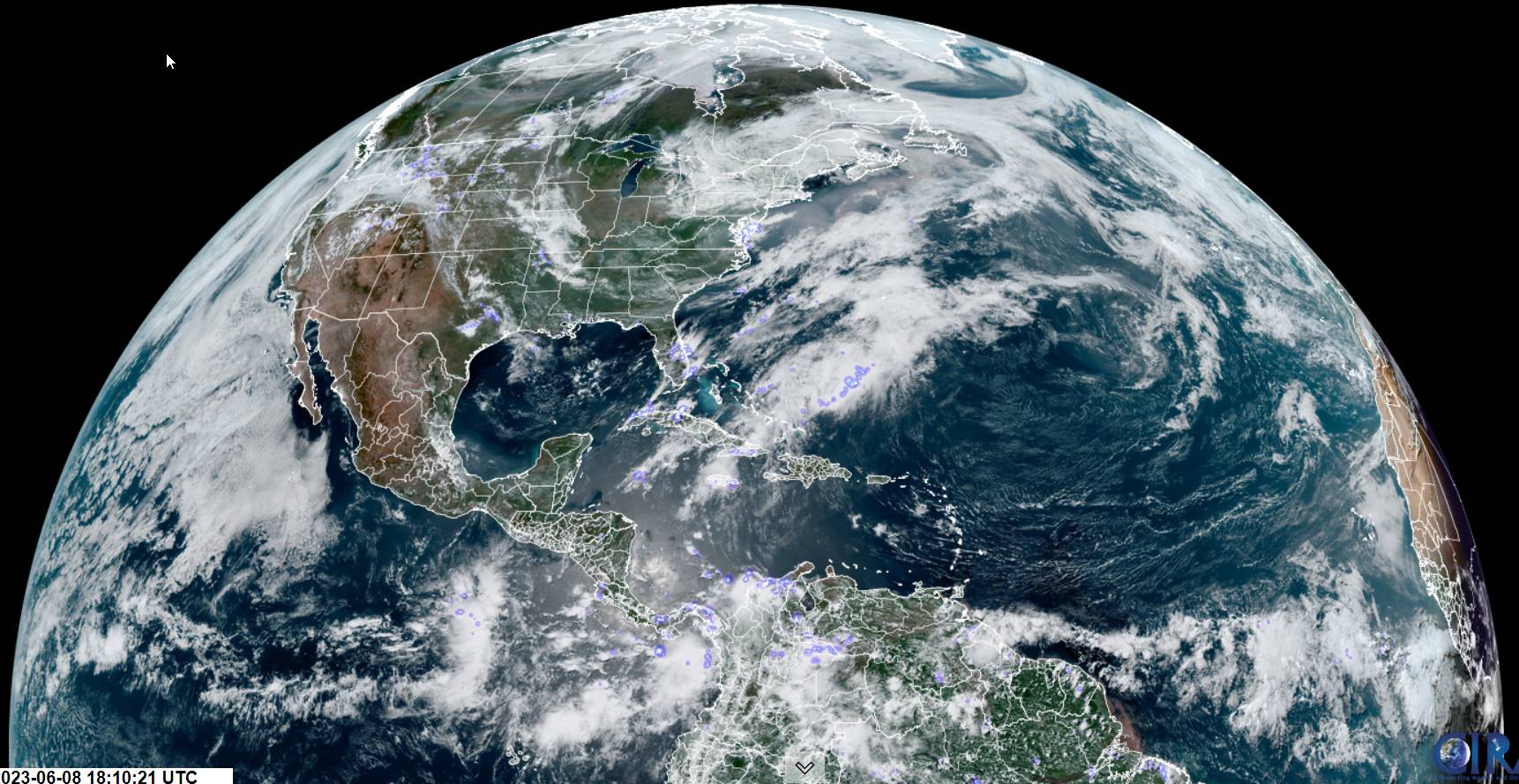
TONIGHT: Lots of clouds. A few early evening showers, then drying up. Patchy river valley fog. A low 40 to 45. Little wind.
TOMORROW: Morning valley fog, then more clouds than sunshine. A few showers, most numerous in the afternoon. A few rumbles of thunder, with possible graupel. A high near 65. Light north winds.
FRIDAY NIGHT: Early evening showers wind down, otherwise partly cloudy. Patchy valley fog. A low around 45. Light northwest winds.
SATURDAY: Partly to mostly cloudy. Isolated to widely scattered afternoon showers, maybe a rumble of thunder. Gradual warming trend continues. A high mid to upper 60s. Light and northwesterly winds.
Looking further ahead
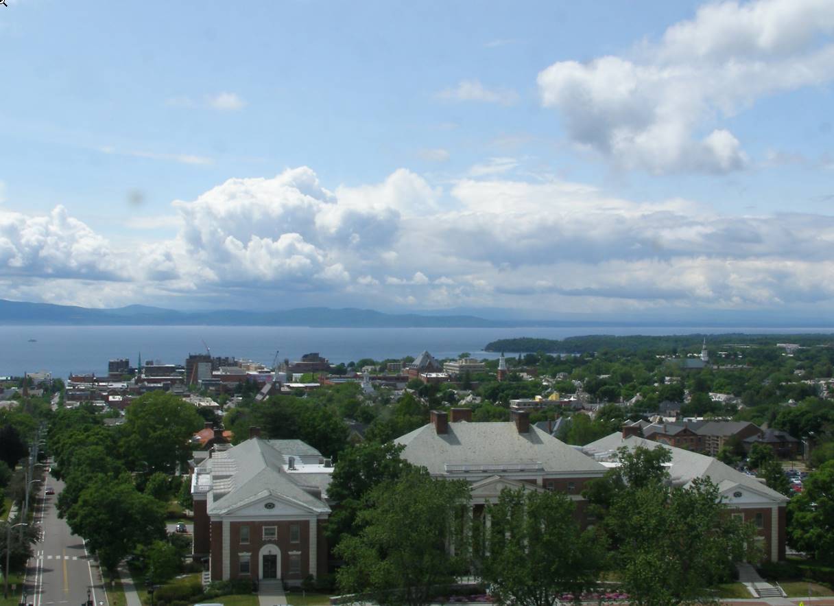
SATURDAY NIGHT: Mostly clear with patchy valley fog. A low near 45.
SUNDAY: Patchy valley fog burns off to partly to mostly sunny skies. Seasonable with an afternoon high. A high
70 to 75.
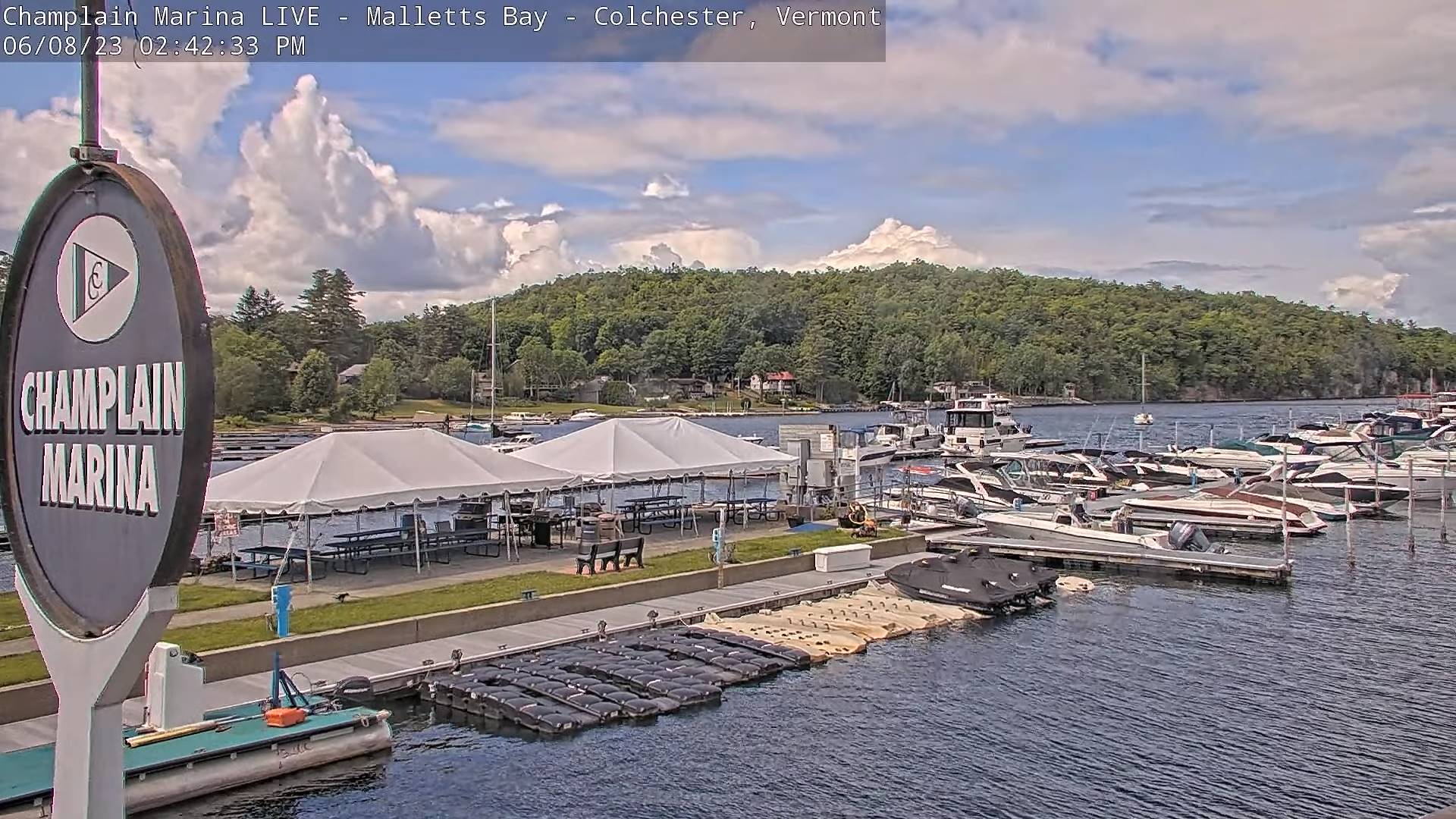
MONDAY: Filtered sun thru high cloudiness. Much warmer. A low around 50. A high 75 to 80.
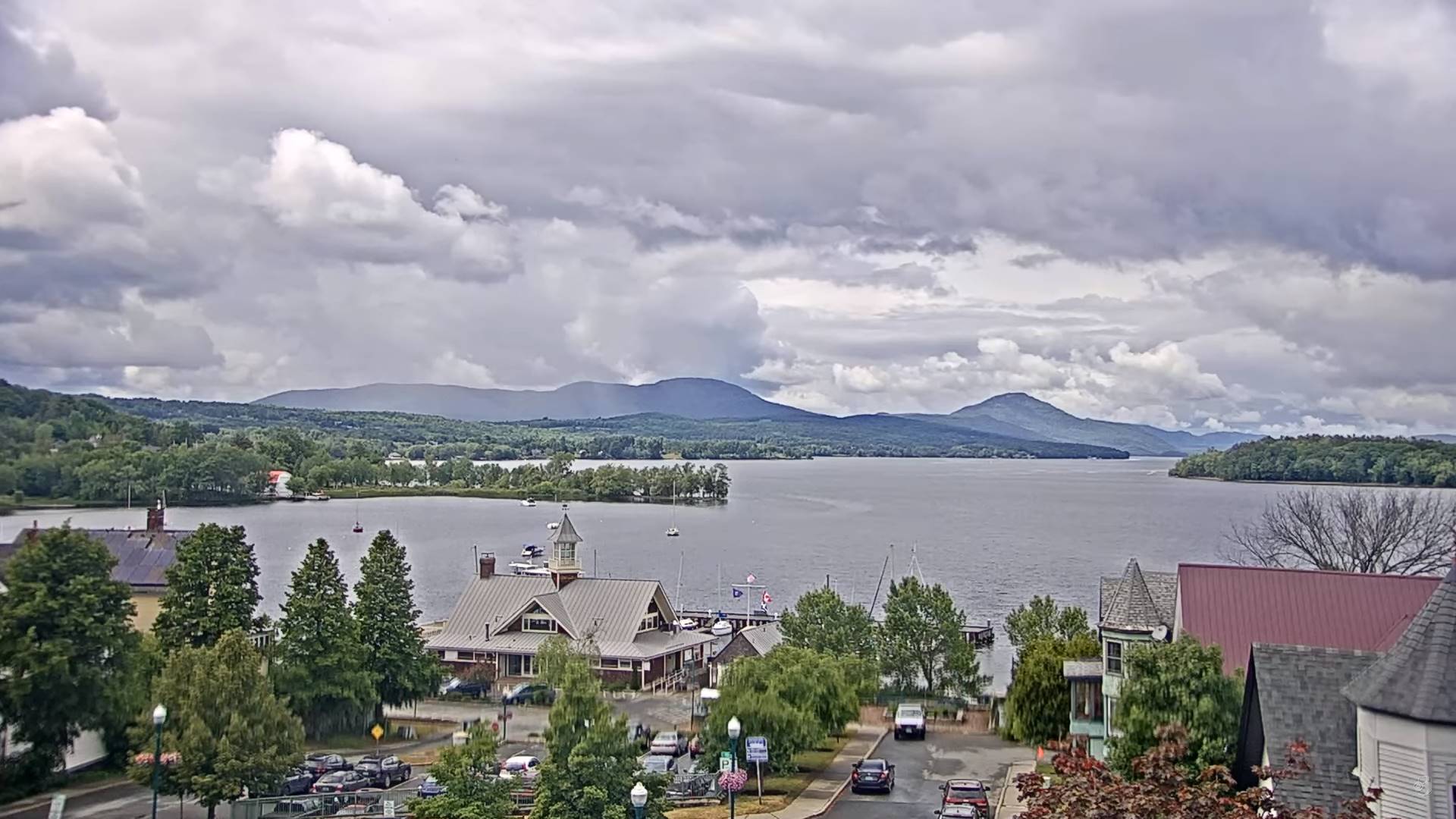
TUESDAY: Mostly cloudy. Chance for showers and possible thunderstorms. A low 55 to 60. A high 65 to 70.
Average lows upper 40s to low 50s. Average highs low to mid 70s
Summer Solstice 10:57 AM June 21st Peak of summer July 22nd
RH/6-8 forecast][end]
