
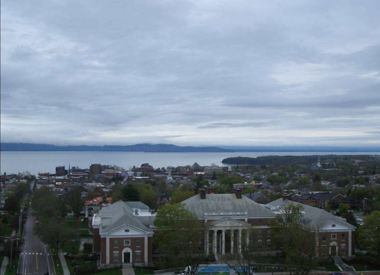
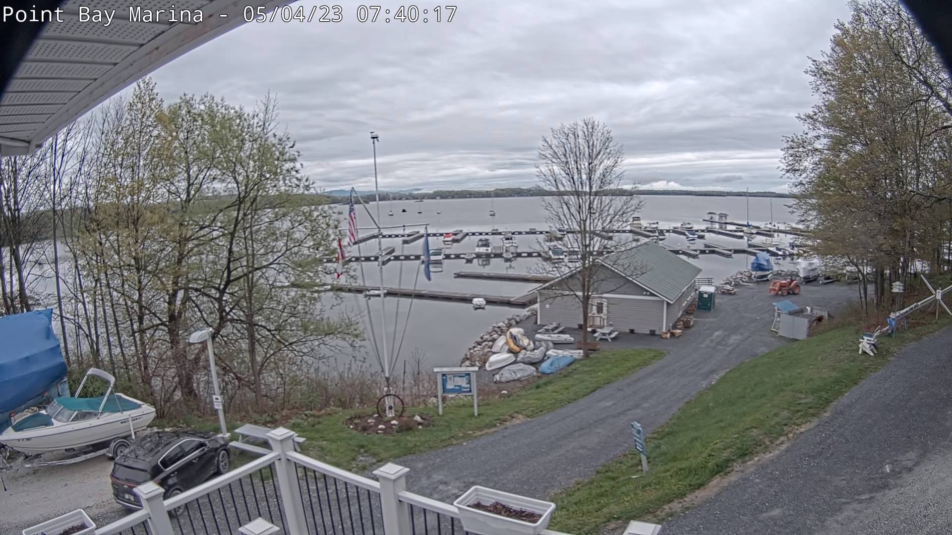
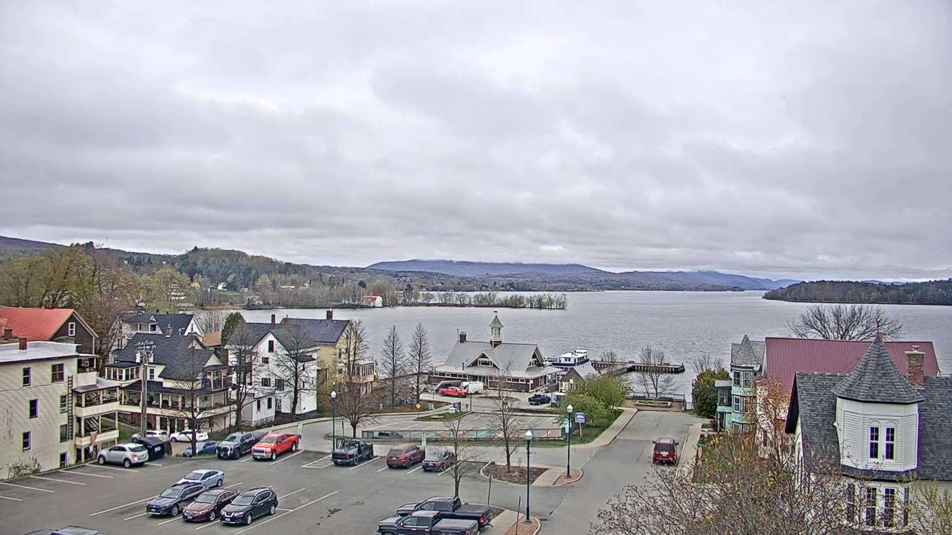
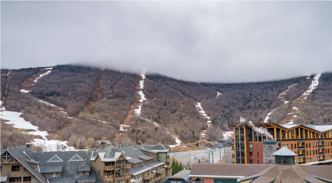
TODAY: Mainly gray, with a couple breaks of sun. Isolated to widely scattered hit and miss showers. Warming trend begins. A high in the lower 50s. Light north to northeast winds.
TONIGHT: Becoming partly cloudy. Patchy dense valley fog. A low in the mid-30s. Light northeast winds.
FRIDAY: Considerable low clouds with a few breaks later in the afternoon. Patchy drizzle or sprinkles possible especially eastern slopes central and southern Greens. A high around 55. North to northeast winds 10 mph.
Looking further ahead
FRIDAY NIGHT: Clear. Considerable dense valley fog overnight. A low mid to upper 30s.
SATURDAY: Partly sunny before more clouds build up in the afternoon. A high 60 to 65.
SUNDAY: Patchy valley fog, then mostly sunny. A low upper 30s. A high 60 to 65.
MONDAY: Patchy valley fog, then sunny. A low near 40. A high 60 to 65.
TUE
SDAY: Patchy valley fog then filtered sunshine thru high clouds. A low upper 30s. A high around 65.
WEDNESDAY: Variable clouds. Slight chance for a shower. A low in the 40s. A high in the upper 50s.
Average lows ranging mid-30s to low 40s. Average highs 60 to 65.
Start of Meteorological summer June the 6th.
RH/5-3 forecast][end]
