
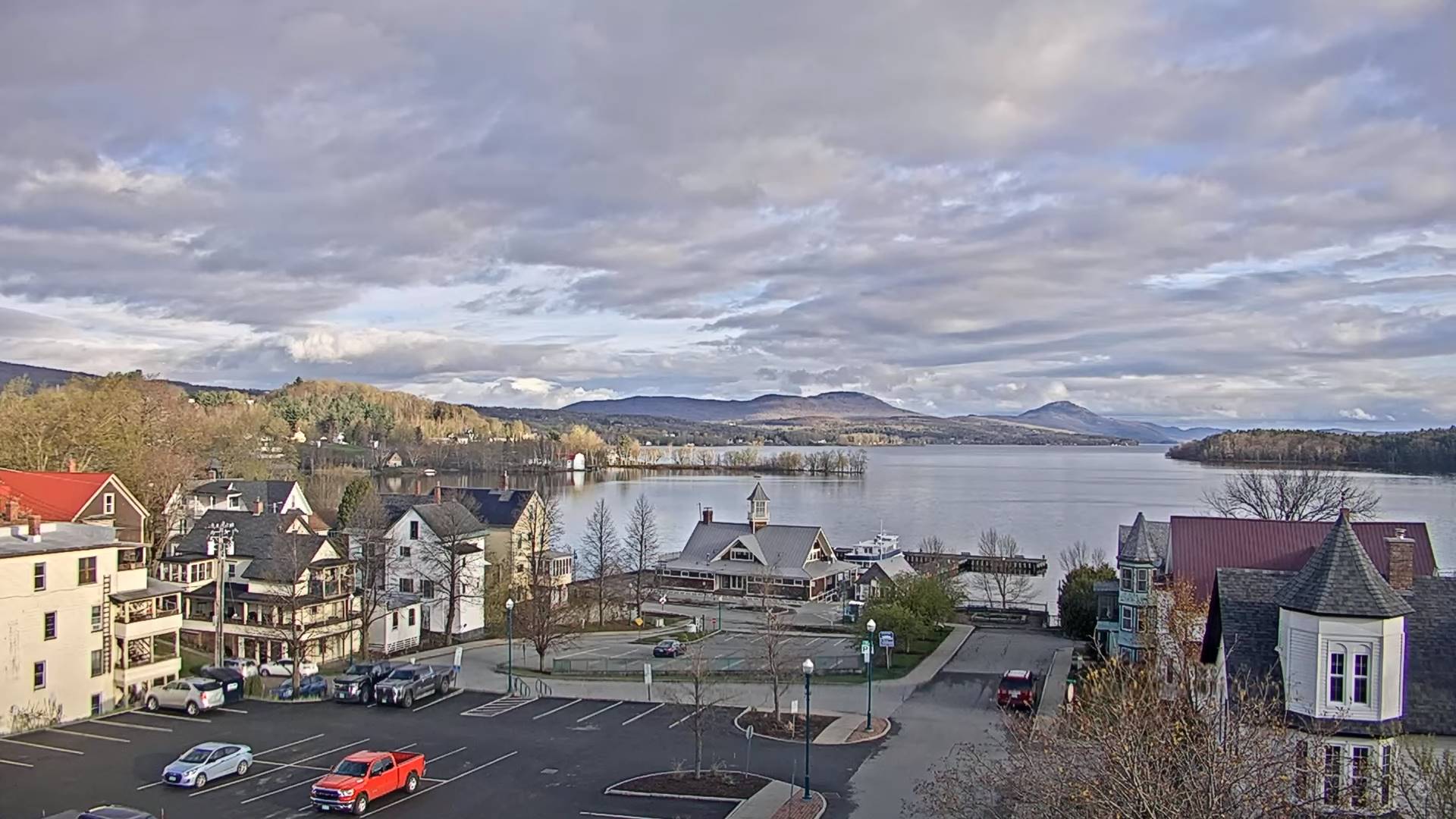
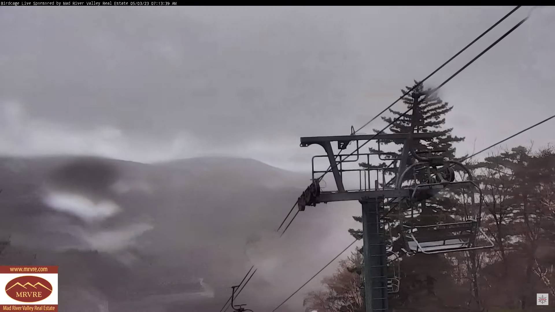
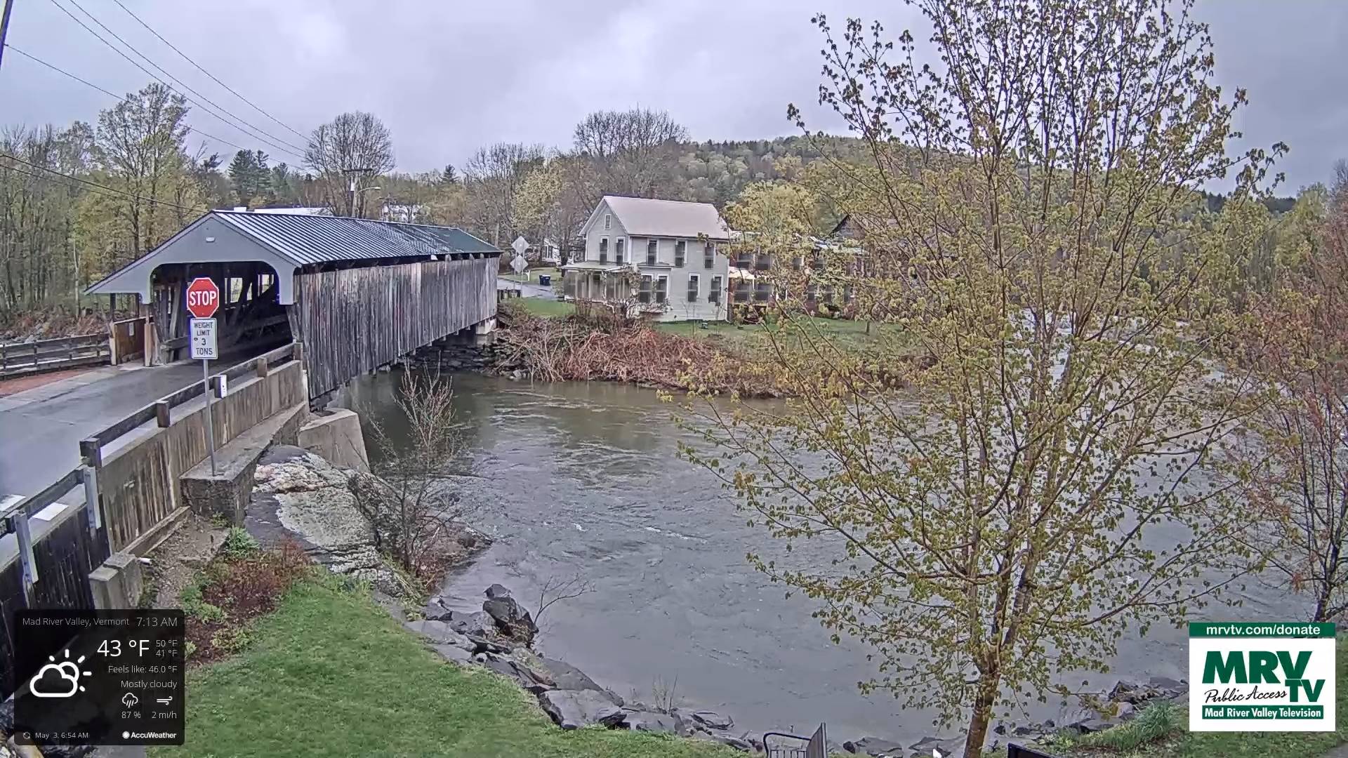
TODAY: Clouds & continued showery with few breaks of sun. A high around 50. Light east winds.
TONIGHT: Considerable clouds. Widely scattered showers mixed with wet snow flakes mountain summits, winding down overnight. A low in the upper 30s. Light northeast winds.
THURSDAY: Mainly cloudy. Isolated to widely scattered shower activity. Gradual day time warming trend begins. A high in the low 50s. Light north to northeast winds.
Looking further ahead
THURSDAY NIGHT: Evening clouds with isolated sprinkles, otherwise partial clearing. Patchy dense valley fog. A low mid to upper 30s.
FRIDAY: Mostly cloudy. Isolated mountain sprinkles. A high around 55.
SATURDAY: Partial morning sun with patchy valley fog, then more clouds than sun. A low mid to upper 30s. A high
60 to 65.
SUNDAY: Patchy valley fog, then partly to mostly sunny. A low around 40. A high about 65.
MONDAY: Patchy valley fog burns off to bright sun and blue skies. A low 40 to 45. A high around 65.
TUESDAY: Patchy valley fog then mostly sunny with high cloudiness. A low in the 40s. A high in the 60s.
Average lows ranging mid-30s to low 40s. Average highs 60 to 65.
Start of Meteorological summer June the 6th.
RH/5-1 forecast][end]
