
TONIGHT: A few showers early, drying up, otherwise a period of mostly clear skies this evening, before more clouds and showers develop later overnight mixed with wet snowflakes mountain tops. Areas of fog. A low around 40. Light south to southeast winds.
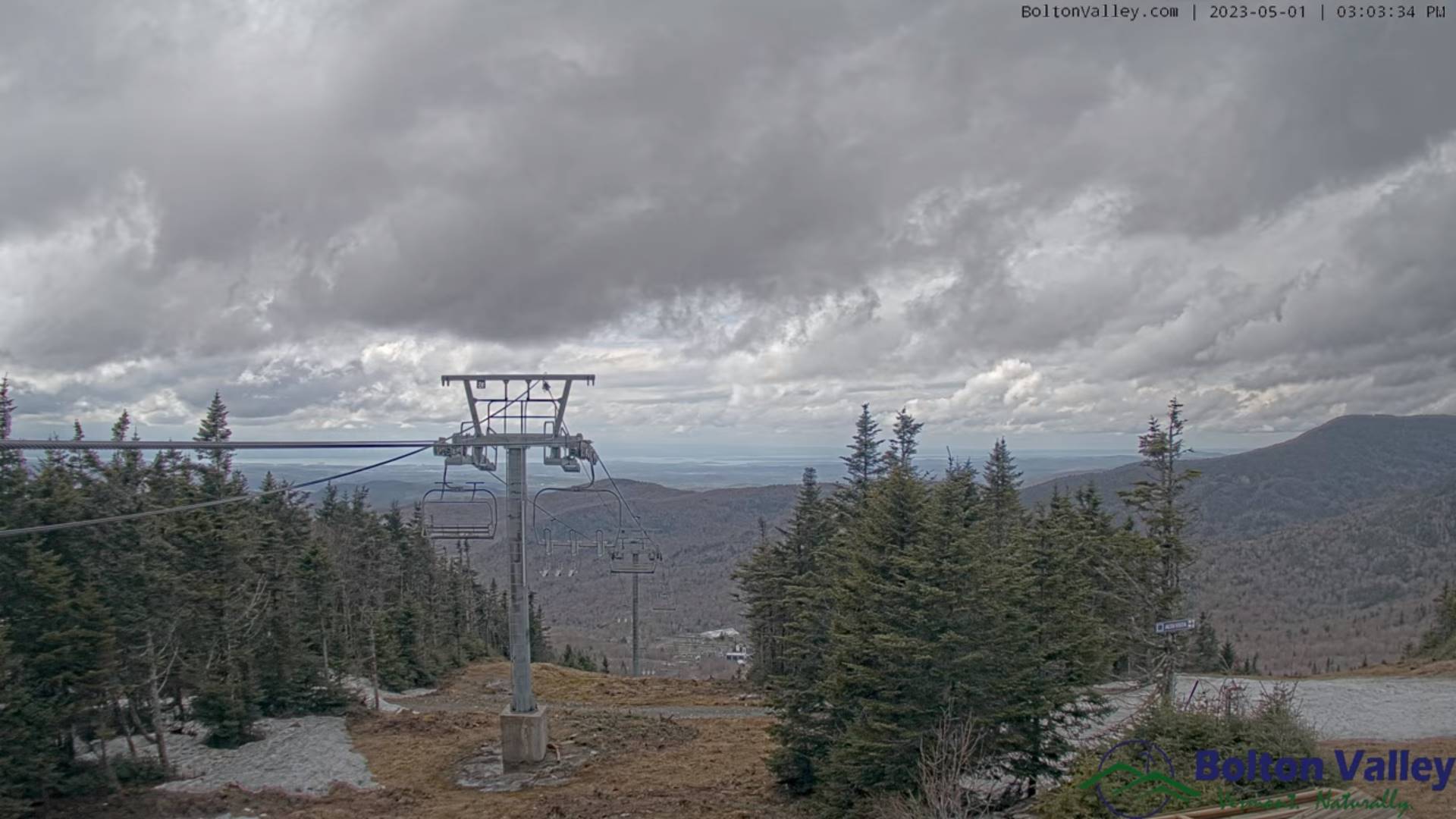
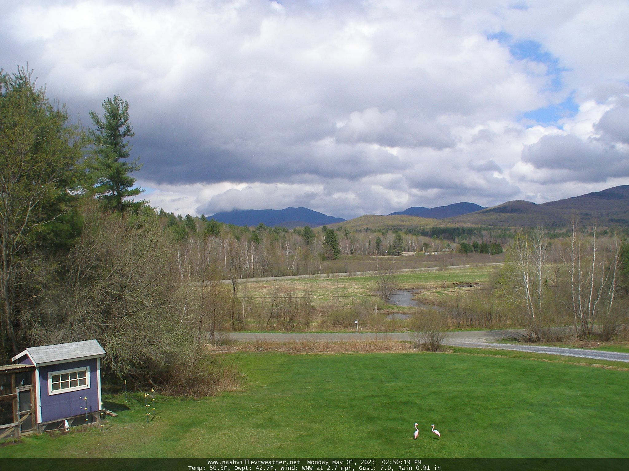
TOMORROW: Gray. Occasional showers, moderate at times…with a few wet snow flakes mountain summits. Raw. A high in the upper 40s. Southeasterly breeze 10 mph.
TUESDAY NIGHT: Lots of clouds. A shower or two likely, with wet snow flakes mountain summits. A low around 40. Light southeast winds.
WEDNESDAY: Gray. Good chance for more for showers or periods of rain. A high about 50. Light easterly winds.
Looking further ahead
WEDNESDAY NIGHT: Overcast. Good chance for more showers. A low 35 to 40.
THURSDAY: Overcast. Scattered showers mixed with wet snow flakes higher terrain. A high 45 to 50.
FRIDAY: More clouds than sun. Widely scattered showers. A few intervals of sunshine possible in the afternoon. A low upper 30s to around 40. A high 50 to 55.
SATURDAY: Morning sun then more clouds in the afternoon. A low 35 to 40. A high 60 to 65.
Average lows ranging mid-30s to low 40s. Average highs 60 to 65.
Start of Meteorological summer June the 6th.
RH/5-1 forecast][end]
