
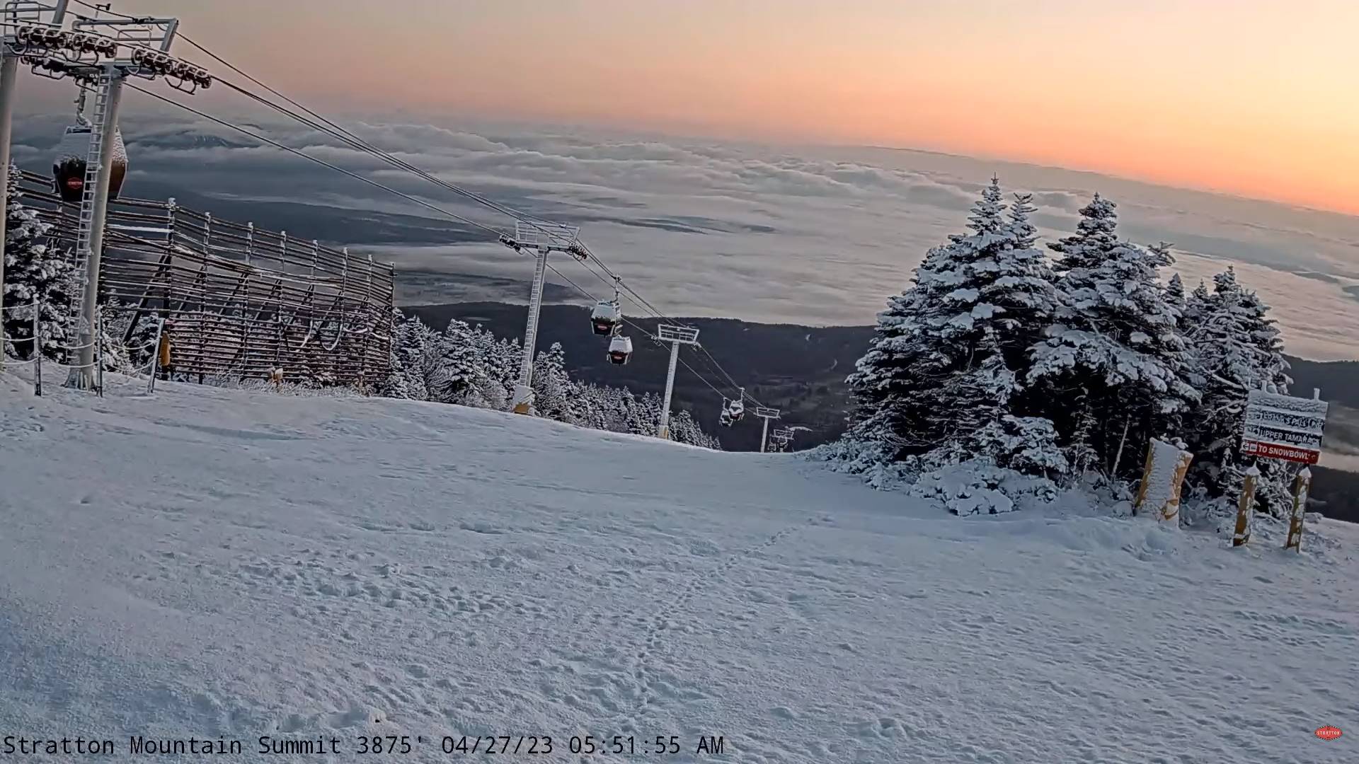
TODAY: Intervals of sun especially in the afternoon. Otherwise clouds with isolated to widely scattered showers near the mountains. A high near 55. Light winds.
TONIGHT: Mostly clear. Considerable valley fog. A morning low 32 to 35 with possible frost. Little wind.
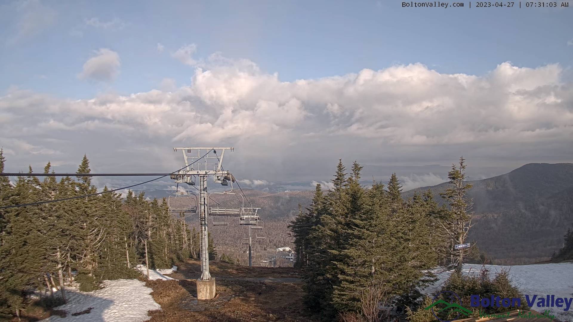
FRIDAY: Pick of the week. Morning fog, then sunshine with increasing high cloudiness in the afternoon. Milder with a high pushing 65. Light southeast winds.
Looking further ahead
FRIDAY NIGHT: Thickening clouds. A low in the low 40s.
SATURDAY: Gray. Breezy to windy at times. Showers becoming likely late…briefly moderate at times, mixed with wet snow flakes high terrain in the evening. A high in the mid-50s.
SUNDAY: Overcast. Occasional misty showers with a few wet snow flakes high terrain early. A low near 40. A high in the mid-50s.
MONDAY: Chance for periods of rain, moderate at times…tapering to scattered sprinkles, Otherwise lots of clouds give way to breaks of afternoon sun. A low near 45. A high in the low 50s.

TUESDAY: Clouds. Chance for more rain or showers. A low in the mid to upper 30s. A high near 55.
WEDNESDAY: Clouds. Chance for more showers. A low in the mid to upper 30s. A high 50 to 55.
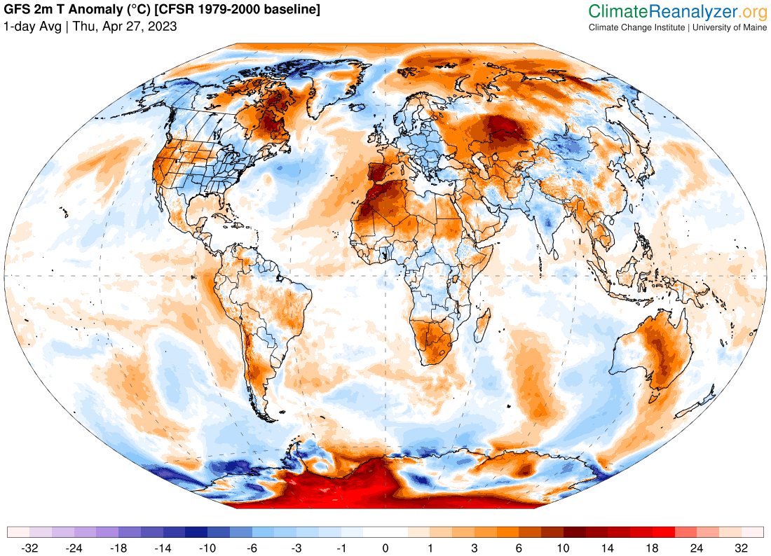
Average lows ranging thru the 30s. Average highs upper 50s to lower 60s.
Start of Meteorological summer June the 6th.
RH/4-27 forecast][end]
