
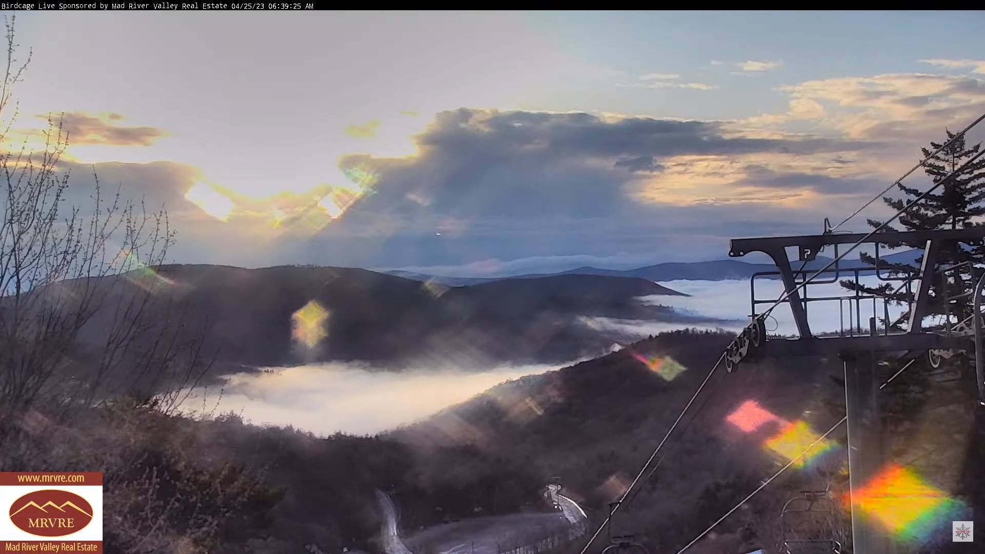
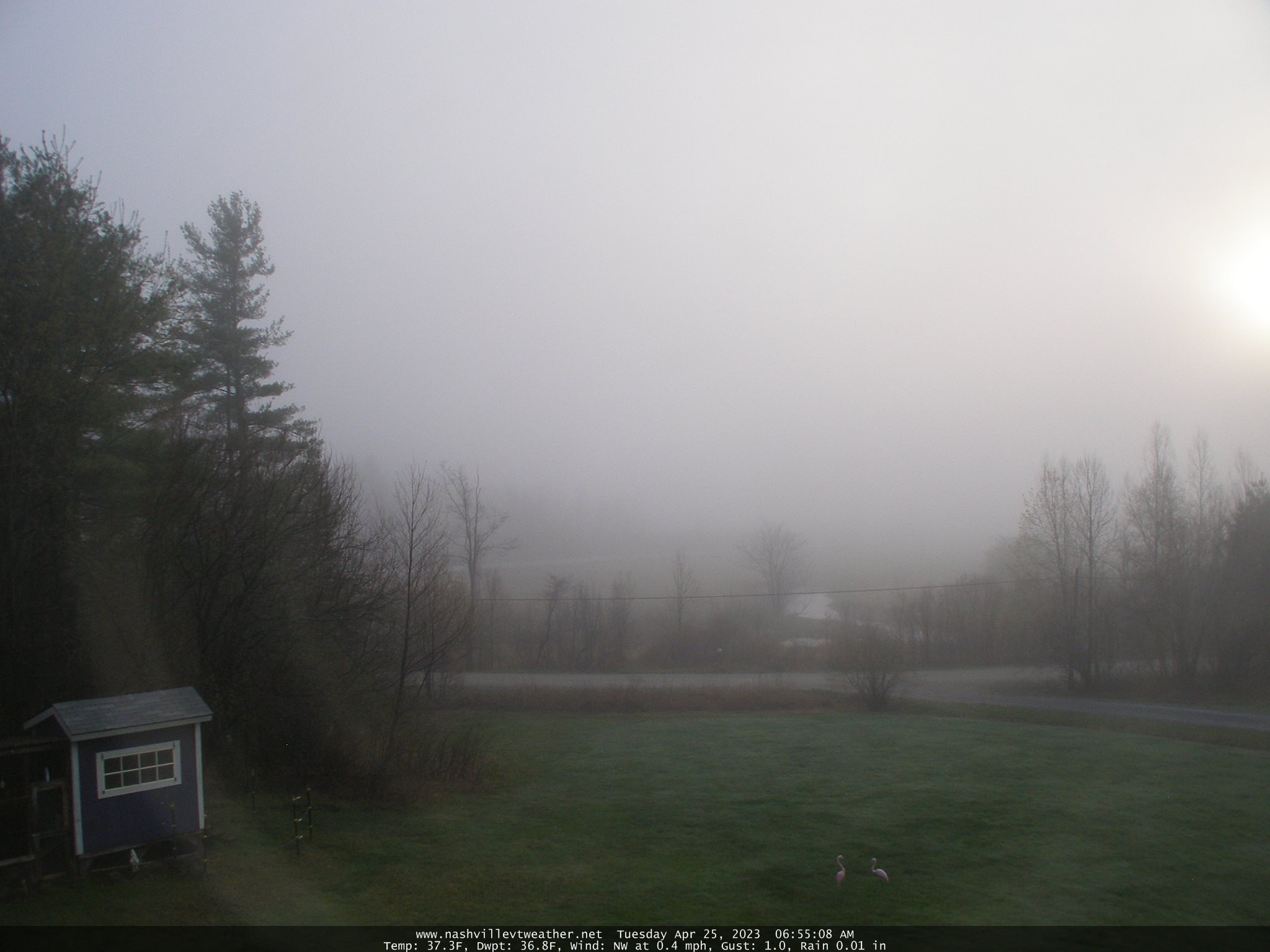
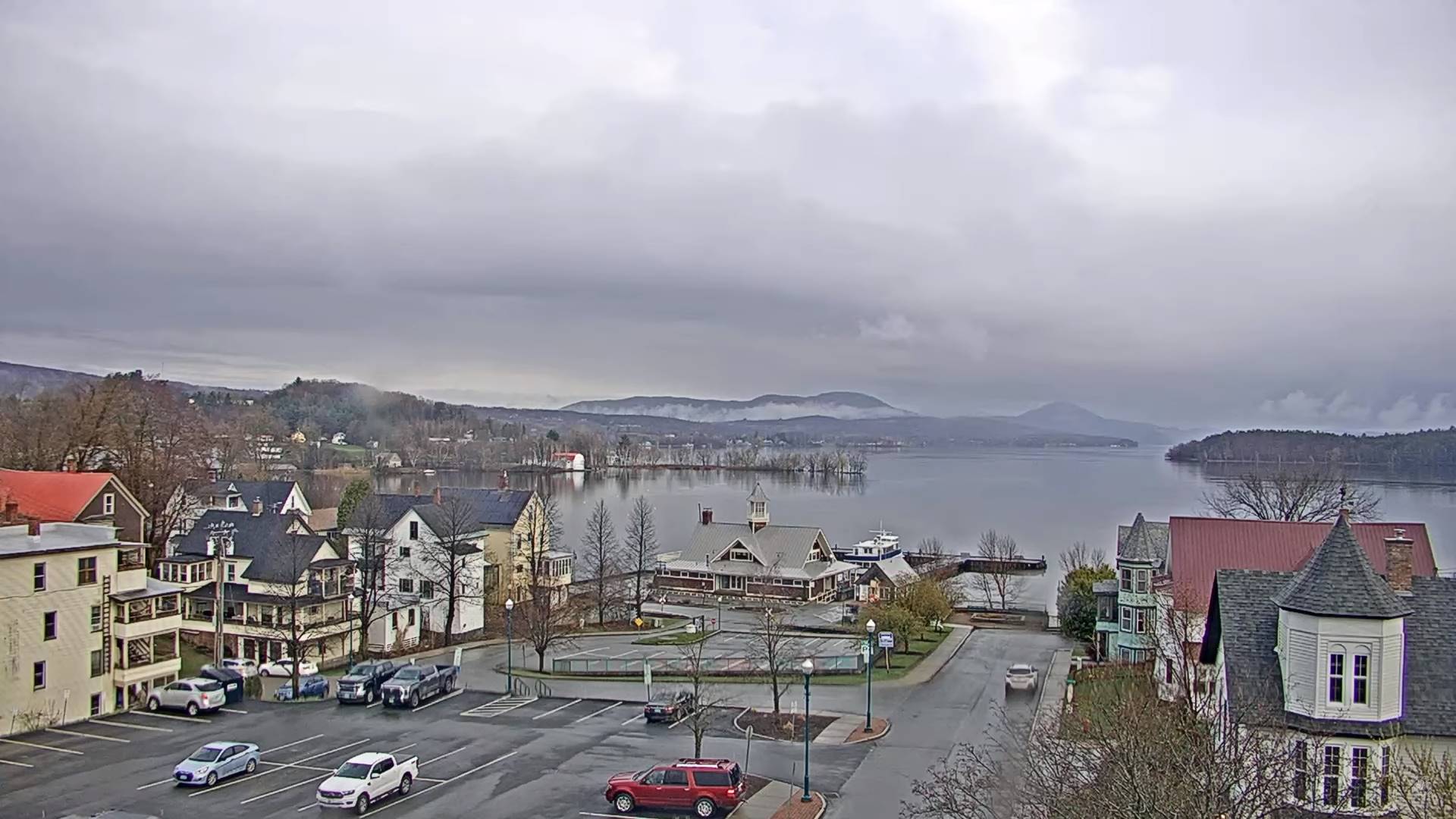
TODAY: Intervals of sun southern and western areas, but mainly cloudy, damp with areas of fog otherwise. An occasional misty shower east of the Greens, more widespread this afternoon. A high in the low 50s. Light southwest winds.
TONIGHT: A few evening showers mixed with wet snowflakes mountain summits. Otherwise variably cloudy with areas of fog. Pockets of frost. A low in the low 30s. Light east winds.
WEDNESDAY: Mostly cloudy with areas of fog. Showers likely. A high around 55. Light south winds.
Looking further ahead
WEDNESDAY NIGHT: Mostly cloudy, damp with areas of fog. Showers likely mixed with wet snow high terrain. A low near 35.
THURSDAY: Variable clouds. Isolated mainly afternoon rain showers. A high near 55.

FRIDAY: Pick of the week. Mostly sunny with a few more afternoon clouds. Warmer. A morning low 32 to 35 with scattered frost possible. A high 60 to 65.
SATURDAY: High cloudiness early then cloudy. A rising chance for rain, or showers. A low in the upper 30s. A high around 60.
SUNDAY: Gray. A chance for rain or showers. A low around 40. A high in the upper 50s.
Average lows ranging thru the 30s. Average highs upper 50s to lower 60s.
Start of Meteorological summer June the 6th.
RH/4-24 forecast][end]
