
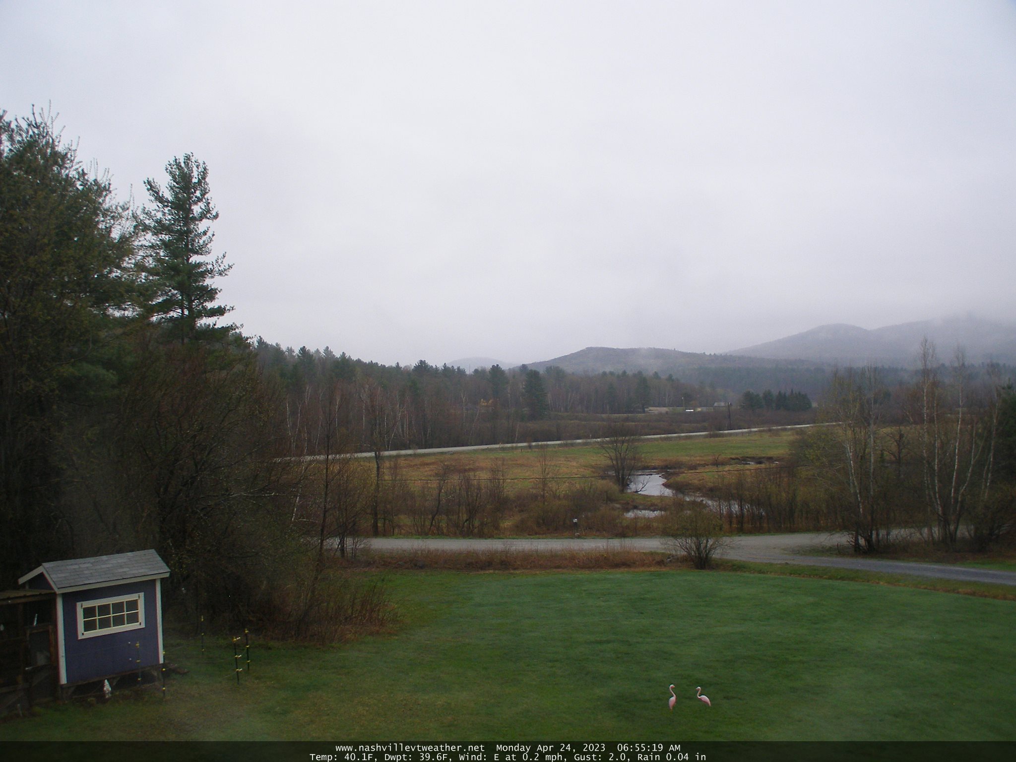
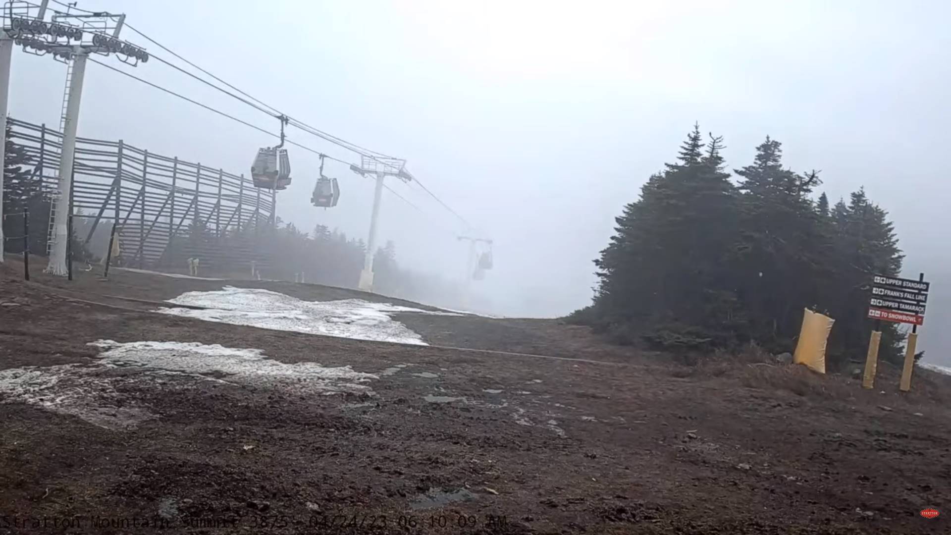
TODAY: Overcast raw and damp areas of fog with the coldest day of the work-week. Occasional patchy drizzle this morning. Rain showers, mixed with wet snowflakes in the mountains this afternoon. Temperatures holding in the low to mid 40s. Light winds.
TONIGHT: Mostly cloudy. A few light rain showers, mixed with wet snowflakes in the higher terrain. A low around 35. Little wind.
TUESDAY: Clouds with a few breaks of sun. Good chance for showers especially late…wet snow flakes elevated terrain. A high in the low 50s. Light southwest winds.
Looking further ahead
TUESDAY NIGHT: A few evening sprinkles mixed with wet snowflakes in the hills. Gradual partial clearing with areas of possible frost. A low near 32.
WEDNESDAY: Partial sun then gray and damp in the afternoon. Scattered rain showers, mixed with wet snow flakes high terrain. A high around 55.
THURSDAY: Mixed sun and clouds. Scattered afternoon rain showers. A low 35. A high around 55.
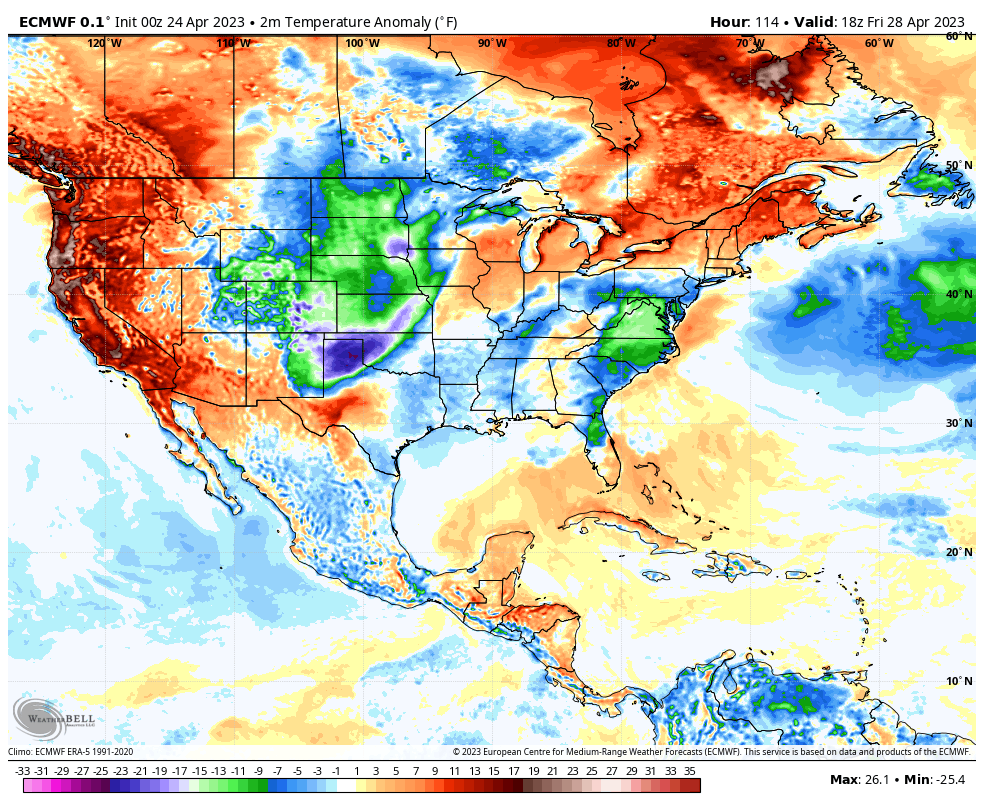
FRIDAY: Pick of the week. Mostly sunny with a few more afternoon clouds. A morning low near 32. A high rebounding 60 to 65.
Average lows ranging thru the 30s. Average highs upper 50s to lower 60s.
Start of Meteorological summer June the 6th.
RH/4-24 forecast][end]
