
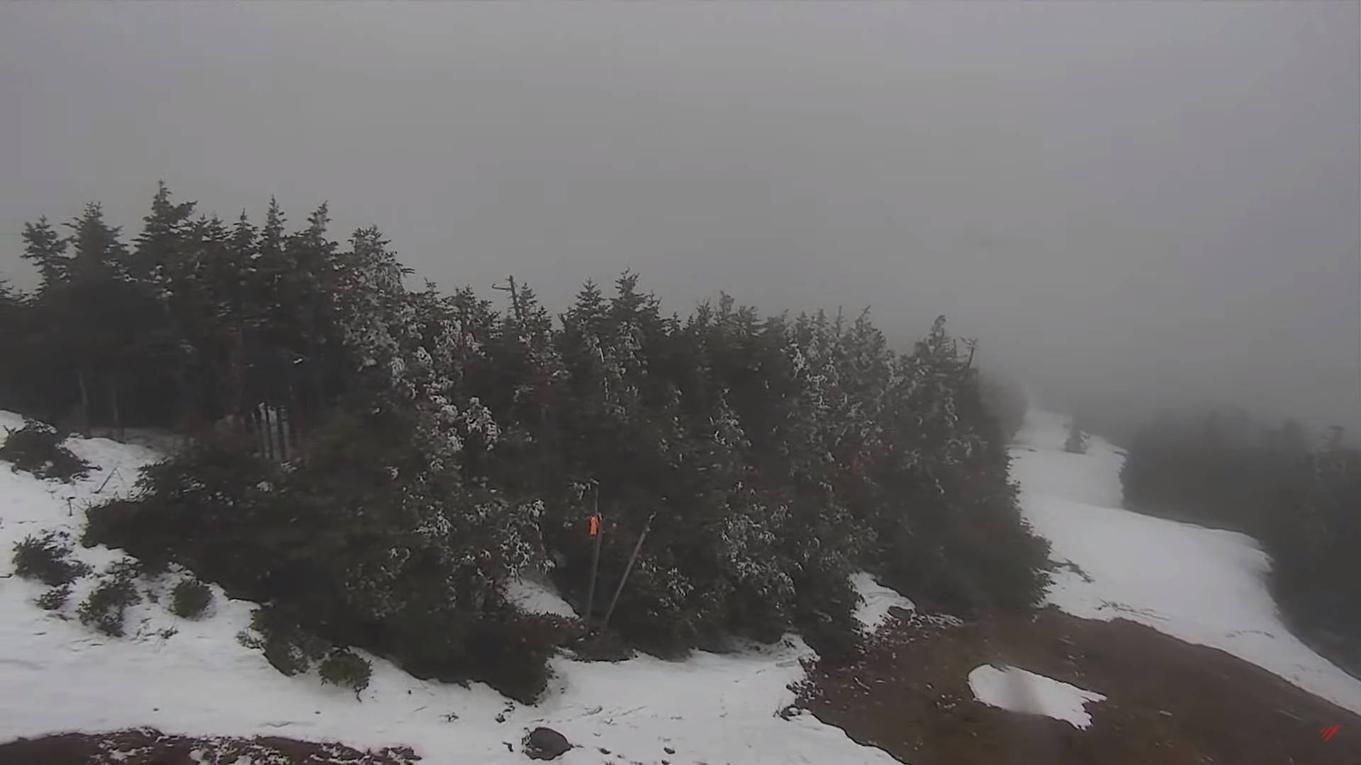
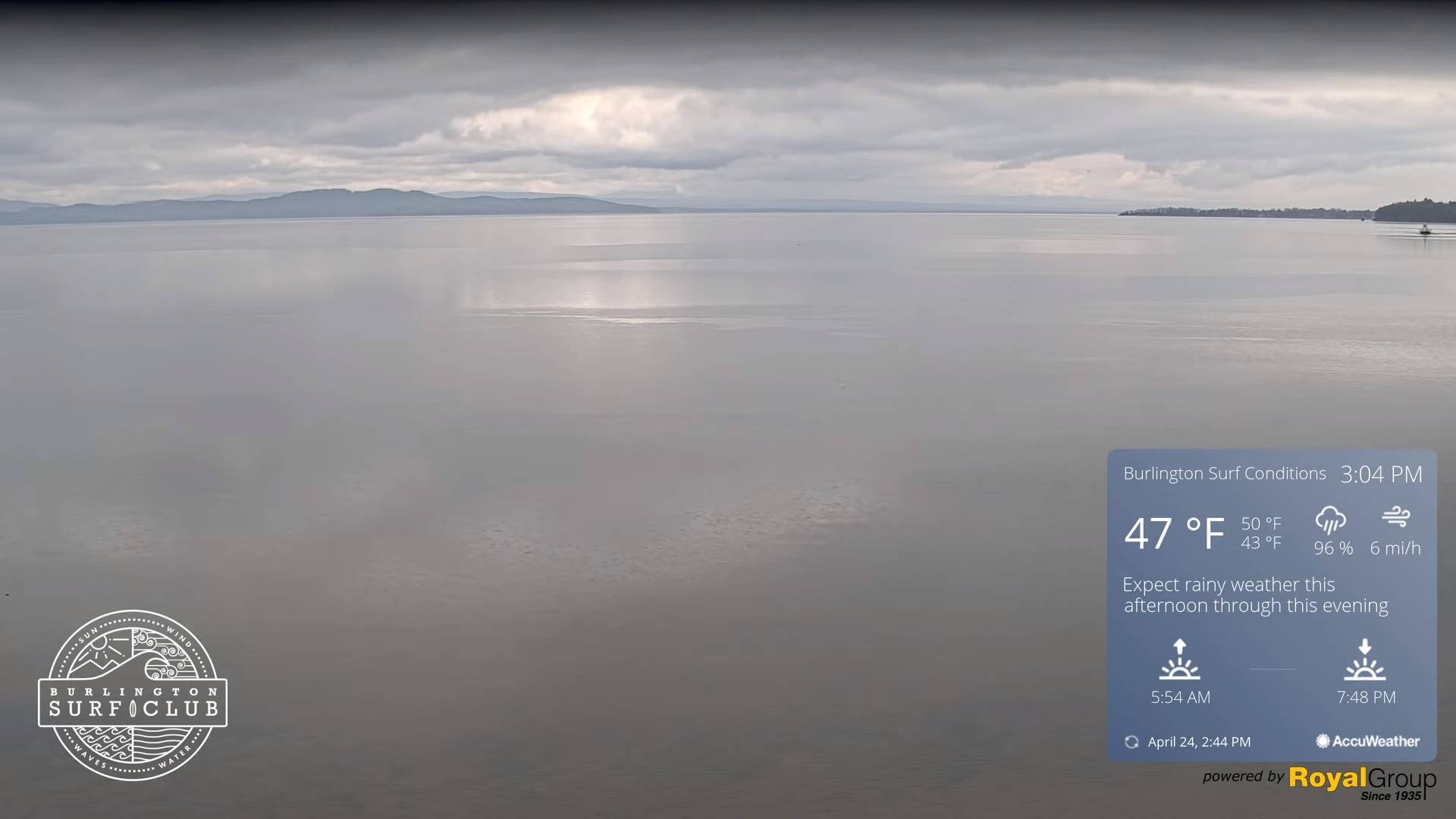
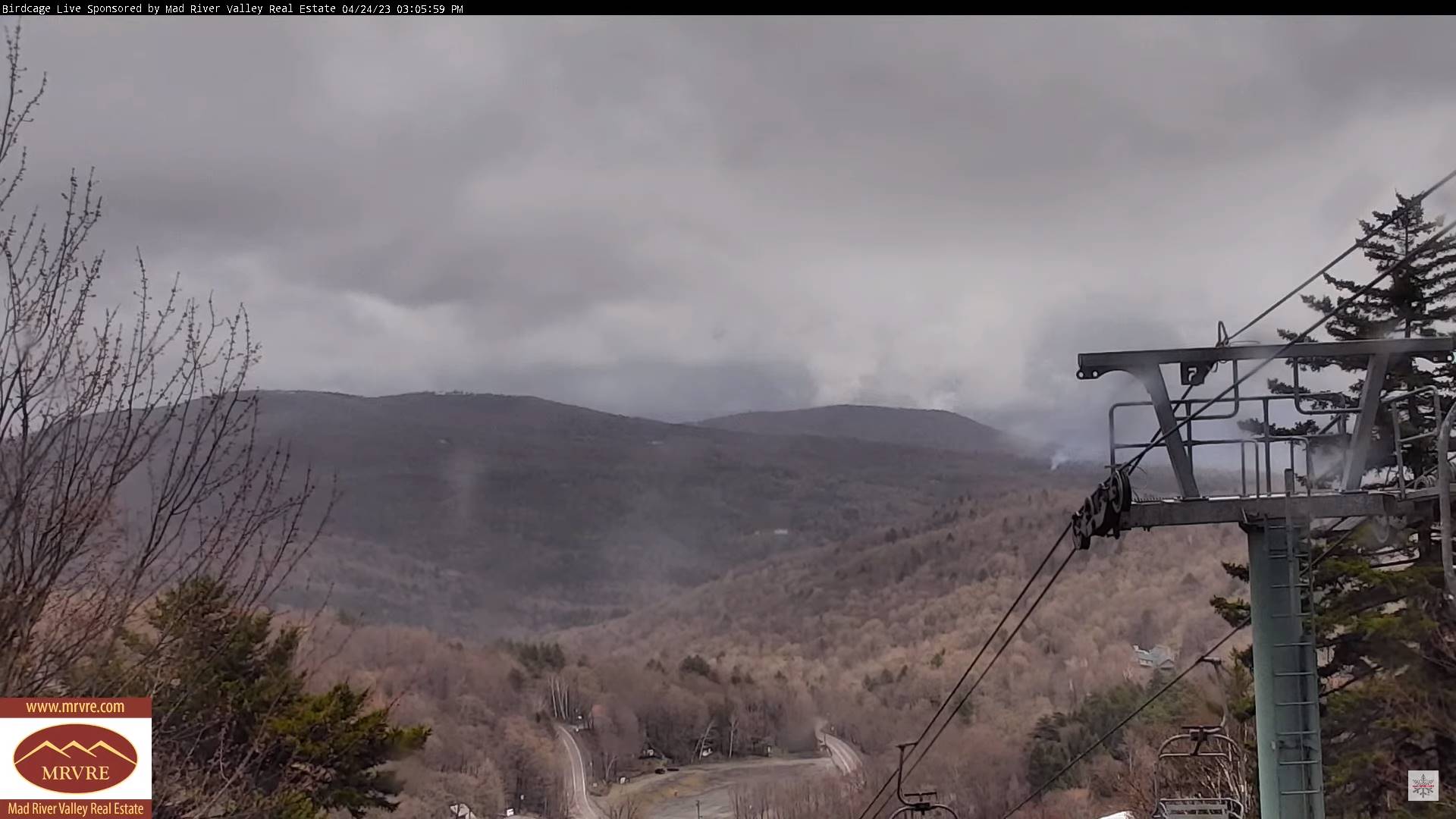
TONIGHT: Partly to mostly cloudy. A few light rain showers, mixed with wet snowflakes in elevated terrain exiting around midnight. Patchy valley fog.A low mid to upper 30s.Little wind.
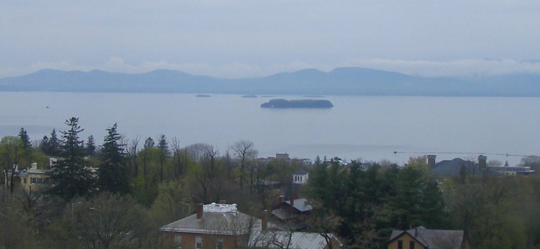
TOMORROW: A break or two but mainly cloudy. Good chance for showers especially late…wet snow flakes elevated terrain. A high in the lower 50s. Light southwest winds.
TUESDAY NIGHT: A few evening sprinkles mixed with wet snowflakes in the hills. Otherwise variably cloudy. Scattered frost. A low in the low 30s. Light east winds.
WEDNESDAY: Partly to mostly cloudy. Scattered rain showers, mixed with wet snow flakes high terrain. A high near 55. Light south winds.
Looking further ahead
WEDNESDAY NIGHT: Mostly clear for a time, then cloudy periods. A low near 35.
THURSDAY: Some morning clouds then partly sunny. Scattered afternoon rain showers. A high around 55.
FRIDAY: Pick of the week. Mostly sunny with a few more afternoon clouds. Warmer. A morning low near 35. A high 60 to 65.
SATURDAY: High cloudiness thickening up in the afternoon, but possibly dry. A low 35 to 40. A high around 60.
Average lows ranging thru the 30s. Average highs upper 50s to lower 60s.
Start of Meteorological summer June the 6th.
RH/4-24 forecast][end]
