
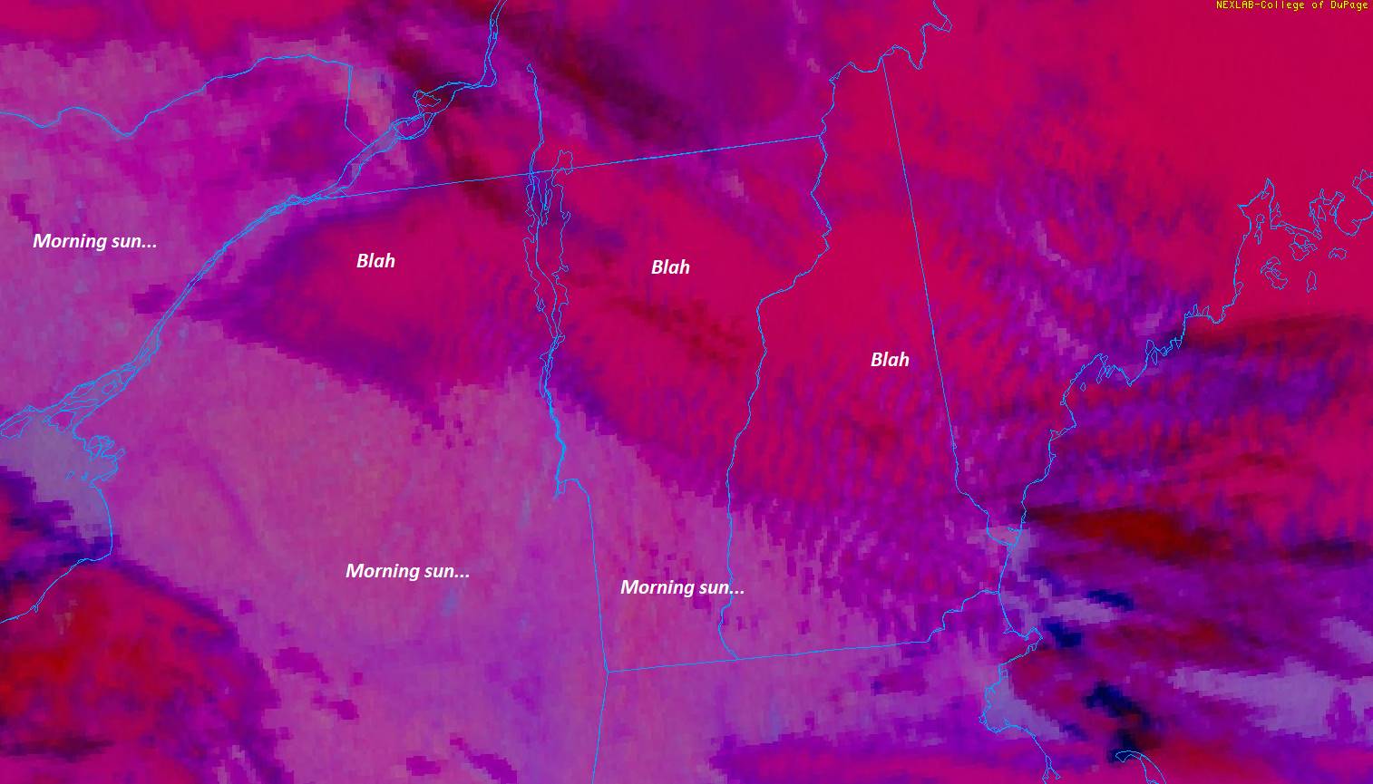
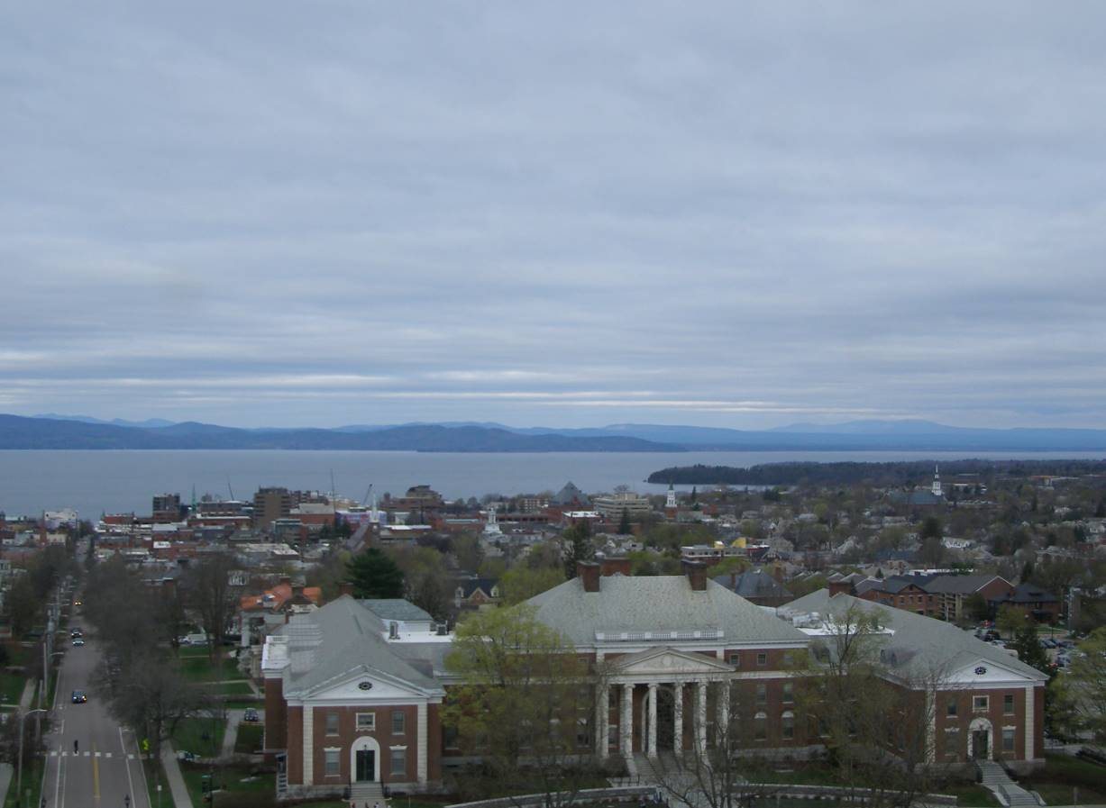
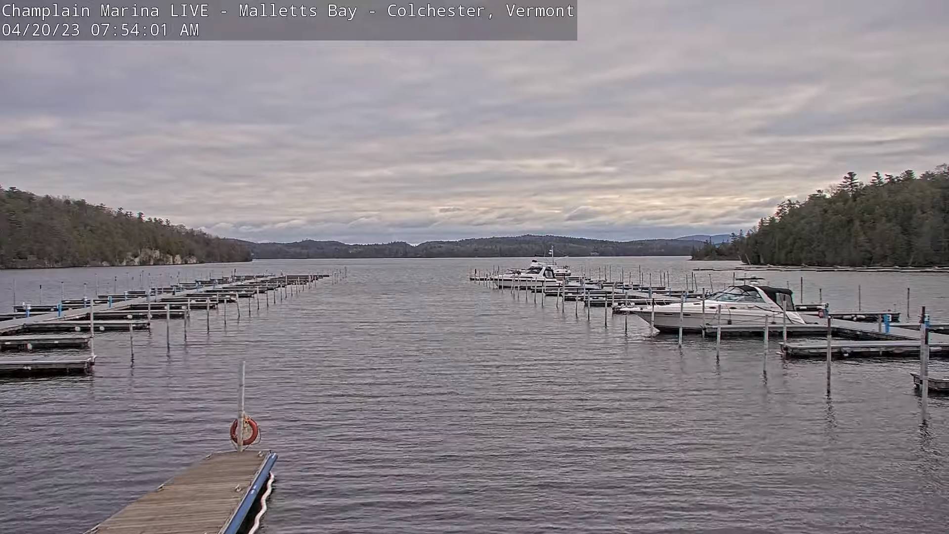
TODAY: Morning clouds with a stray flurry far northern areas, giving way to intervals of sunshine. A high near 50. Northwest winds 10 mph.
TONIGHT: Lots of clouds. Scattered rain and wet snow showers likely toward midnight. A low 32 to 35. Little wind.
FRIDAY: Morning clouds then periods of filtered sun & milder. A high upper 60s near 70. Light southeast breeze.
Looking further ahead
FRIDAY NIGHT: Fair with high cloudiness, thickening up late leading to a chance for a showers western areas. A low around 40.
SATURDAY: High overcast with hints of sunshine. Seasonable in temperature. A high upper 50s near 60.
SUNDAY: Gray. Blustery at times. Good chance for showers, moderate at times. A low 40 to 45. A high near 50.
MONDAY: Overcast and unsettled. Scattered rain showers mixed with wet snowflakes in the mountains. A low near 40. A high 45 to 50.
TUESDAY: Mostly cloudy. Chance for a lingering rain or snow shower. A low around 35. A high about 45.
Average lows 32 to 35. Average highs mid-50s to near 60.
Start of Meteorological summer June the 6th.
RH/4-20 forecast][end]
