
Winter Weather Advisory Green Mountains east into the overnight Full Pink Moon 12:34 AM
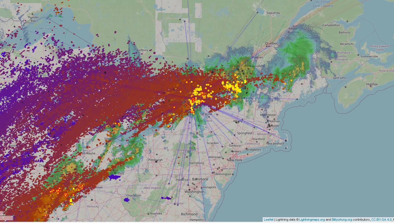
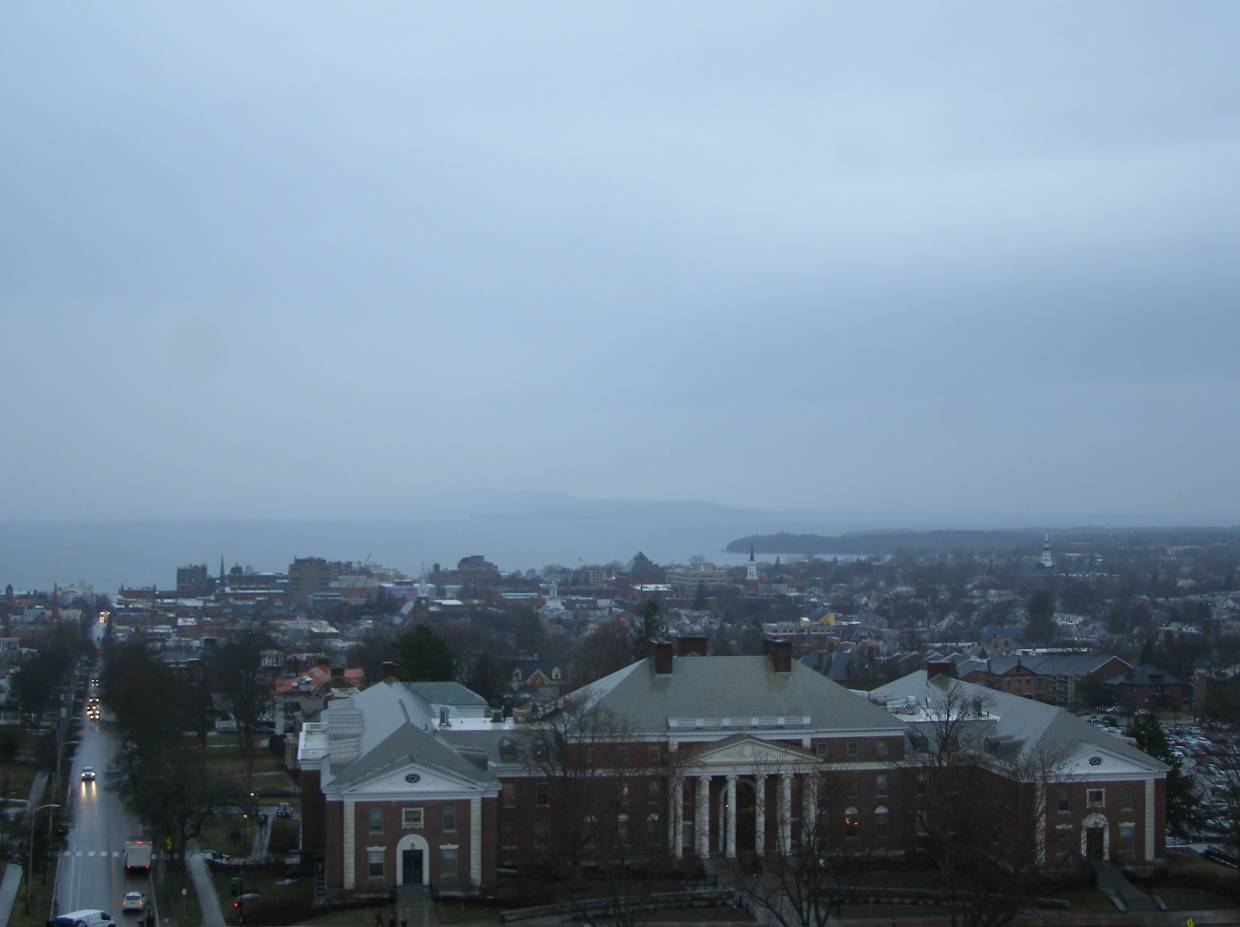
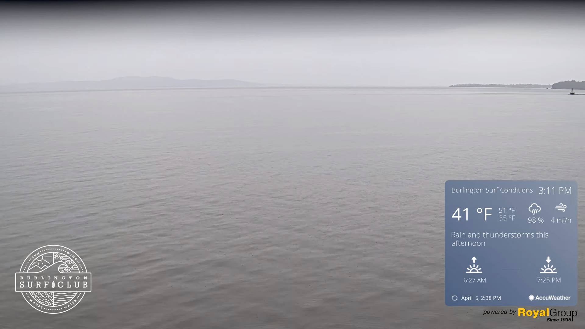
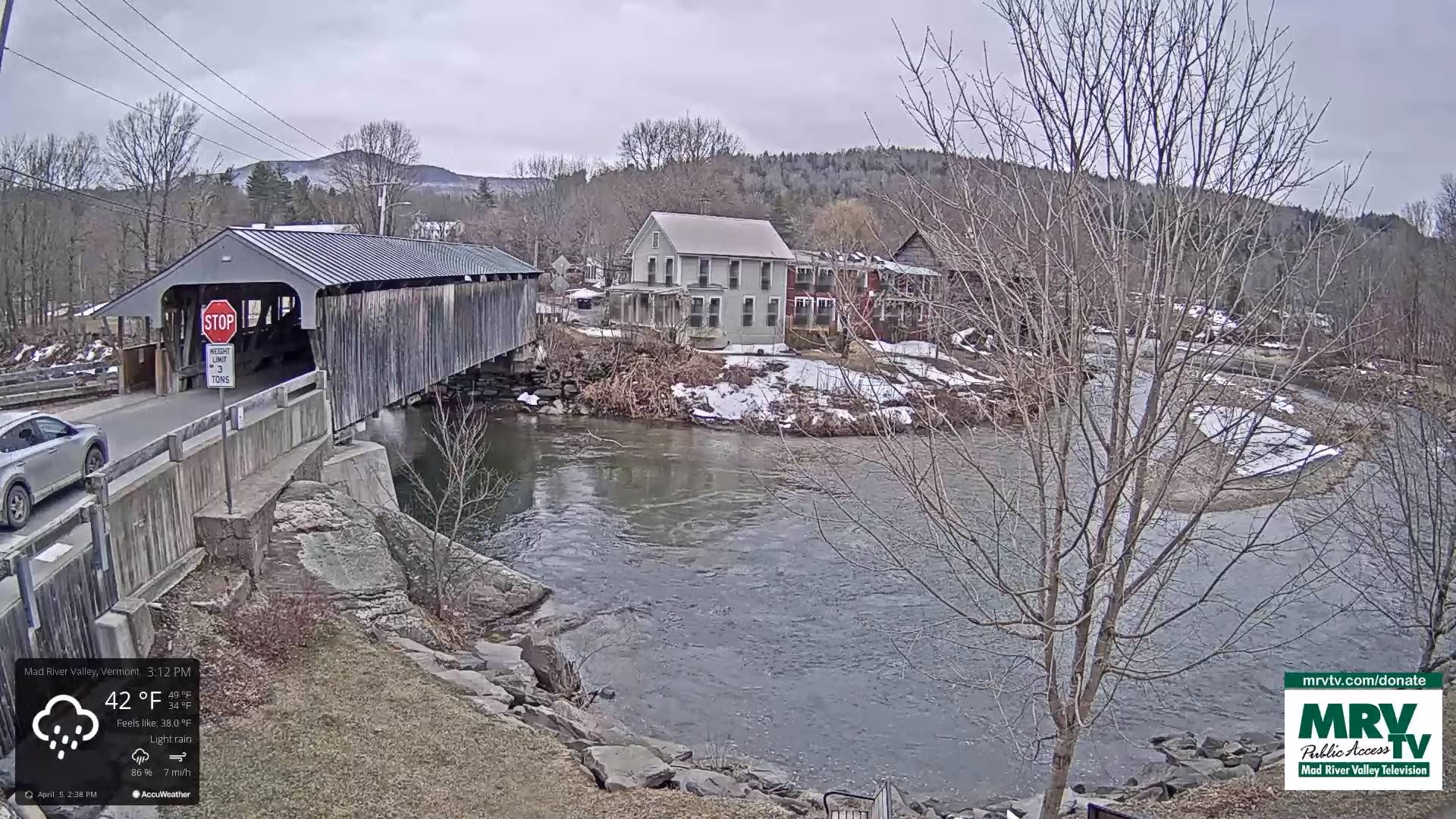
TONIGHT: Cloudy. Rain showers…moderate at times with an isolated rumble or two northern areas. Pockets of freezing rain eastern portions of the state…changing to rain. Areas of fog. An evening low around 35, milder elsewhere. Southeast winds 10 mph stronger near Lake Champlain.
TOMORROW: Gray. Scattered rain showers with areas of fog. Much milder. A high 60 to 65. Light southwest breeze.
THURSDAY NIGHT: High overcast, otherwise fair a dry. A low 32 to 35. West breeze 10 mph.
FRIDAY: Clouds mixing with periods of sun. A stray flurry Northeast Kingdom. Blustery to windy. A high in the upper 30s. Gusty northwest winds 10 to 25 mph.
Looking further ahead
FRIDAY NIGHT: Mostly clear. A low upper teens to low 20s.
SATURDAY: Bright sunshine & blue skies. A high 40 to 45.
SUNDAY: Sunshine with a few high clouds. A low around 20. A high in the upper 40s.
MONDAY: Sunshine gives way to a few high clouds. A low in the mid-20s. A high low to mid 50s.
Average lows mid-20s to low 30s. Average highs mid-40s to low 50s
Start of Meteorological summer arrives June 6th.
RH/4-5 forecast][end]
