
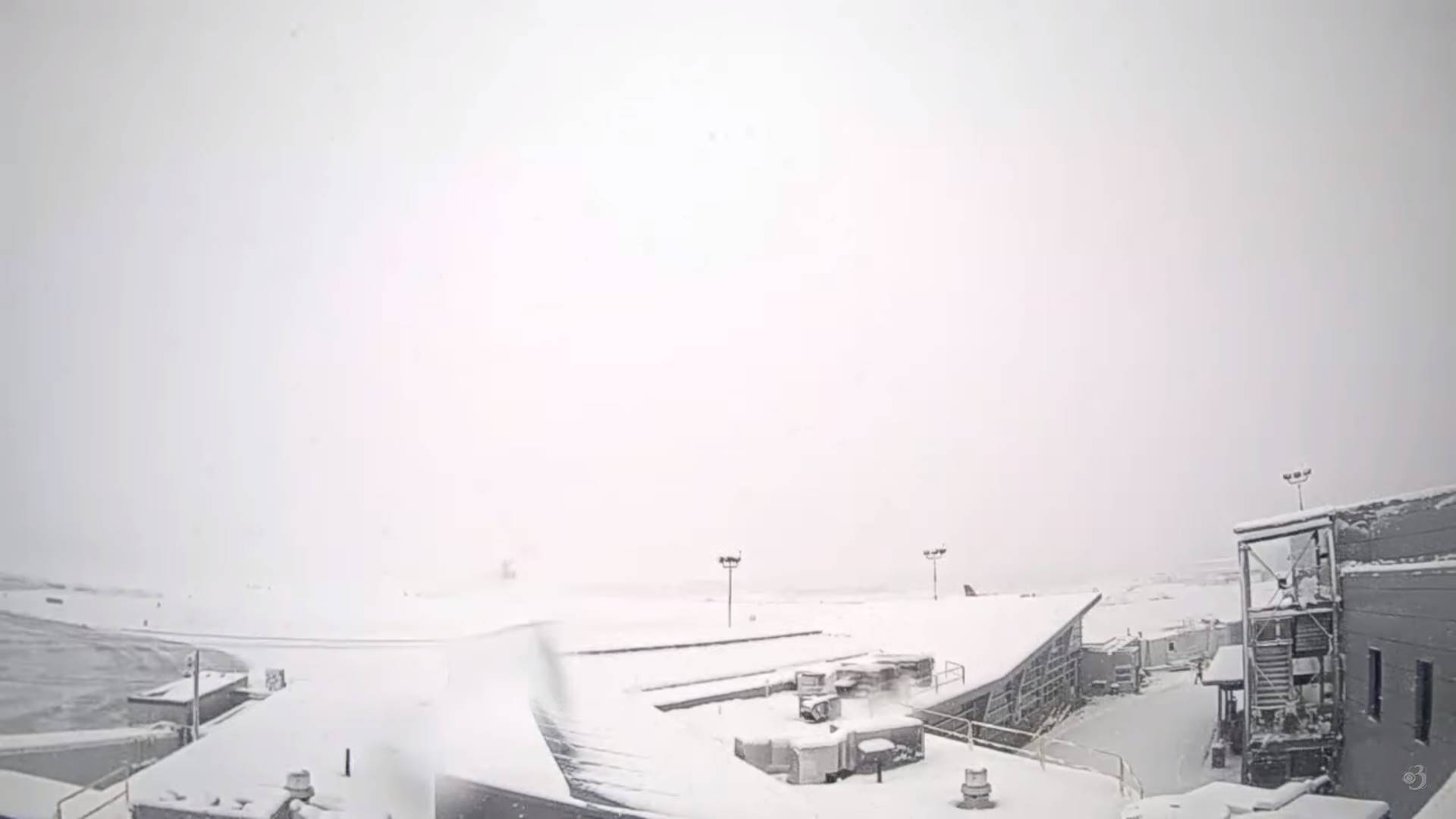
Winter Storm Warnings – for all except the central and northern Champlain valley…expire Wednesday morning
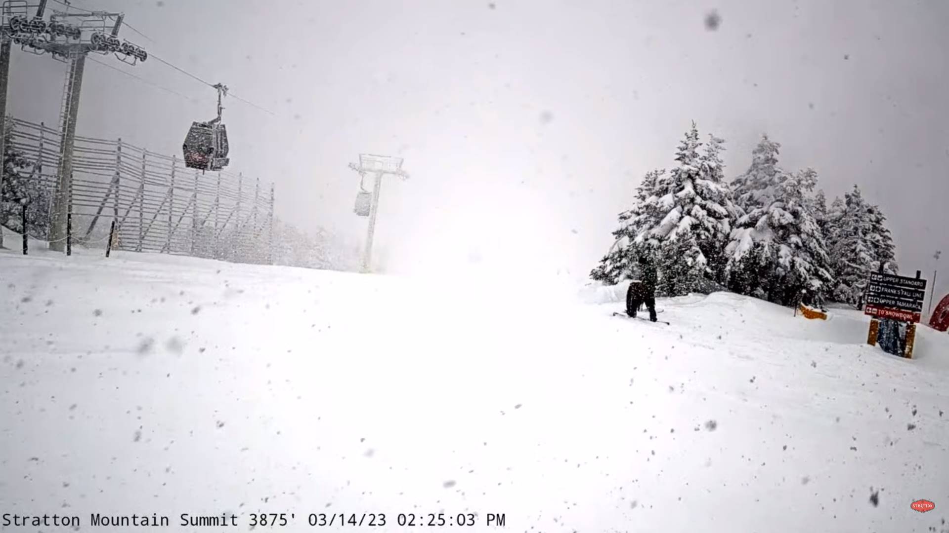
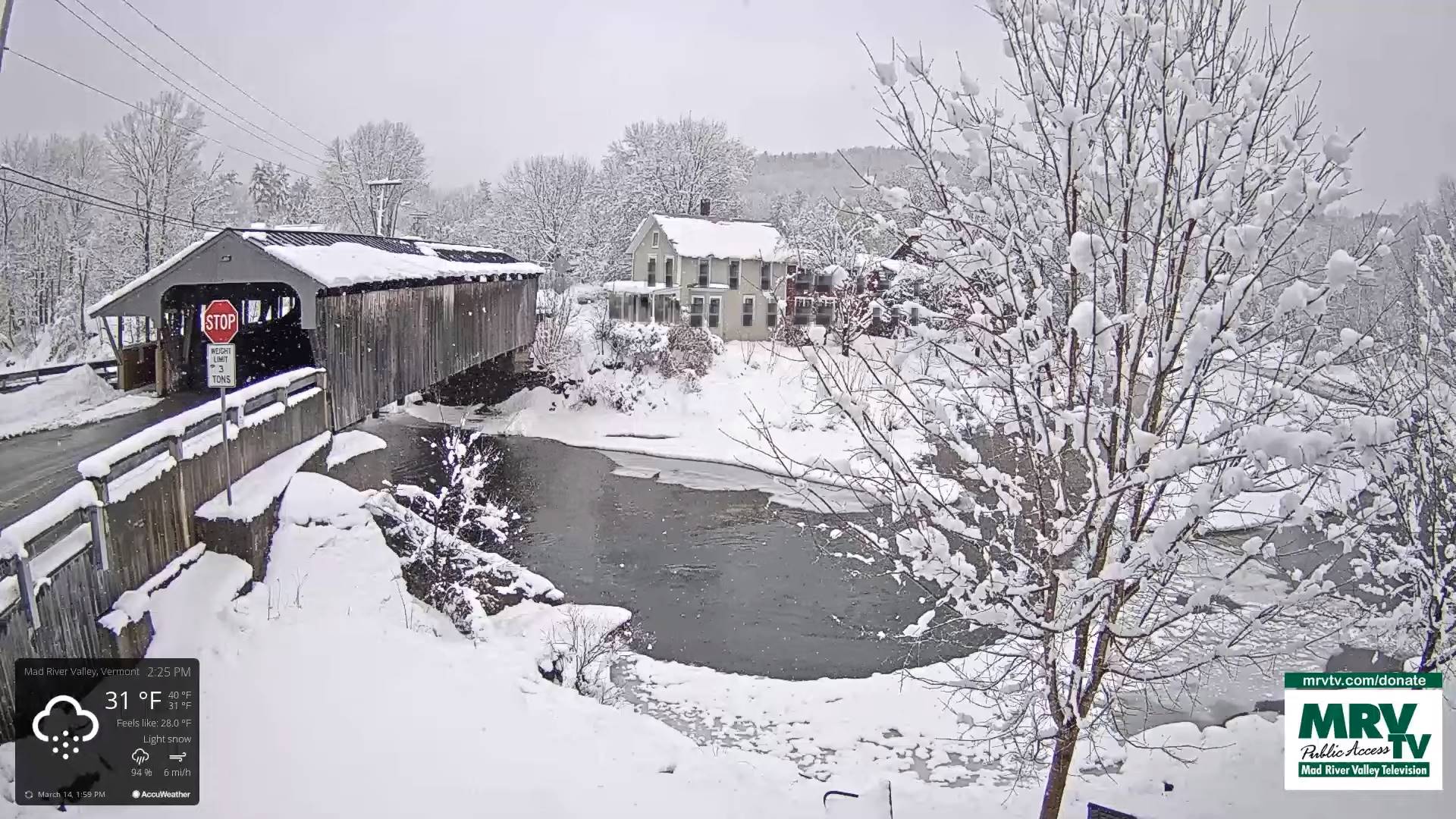
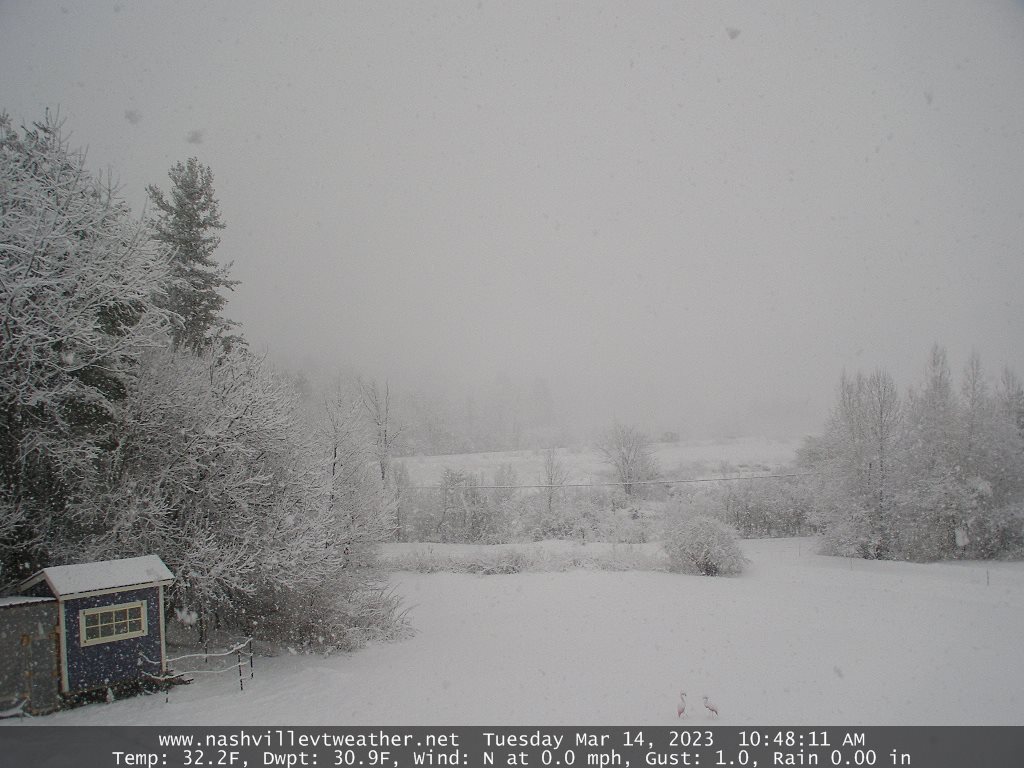
TONIGHT: Cloudy. Snow…moderate at times this early to mid-evening, with additional accumulation of 2 to locally 4”. A low upper 20s to near 30. North winds 10 to 15 mph.
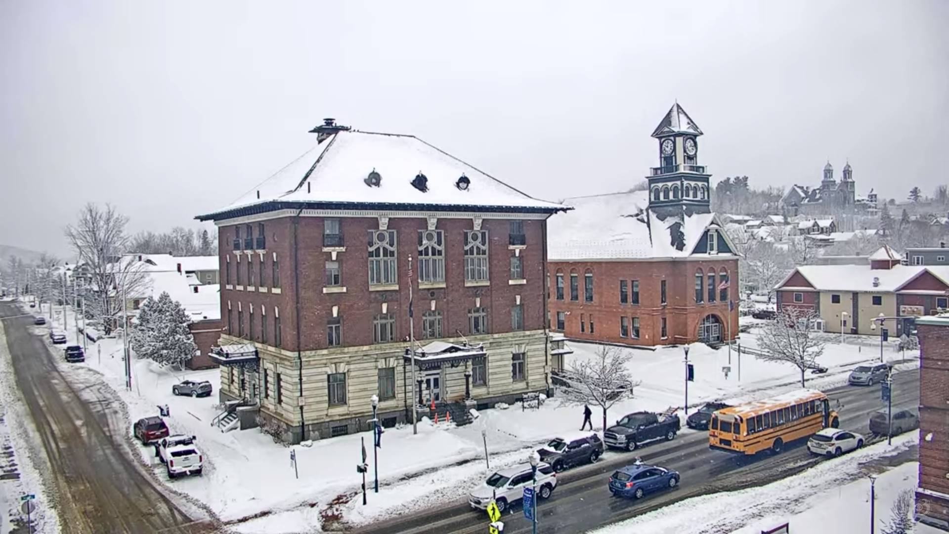
TOMORROW: Gray skies & blustery. Lingering light snow eventually winds down to scattered flurries in the afternoon. Accumulation 1 to 2” possibly more western slopes northern/central Greens. A high around 35. Northwest winds 10 to 25 mph with blowing a drifting.
WEDNESDAY NIGHT: Early evening clouds, then becoming mostly clear. A low upper teens to low 20s. Light northwest winds.
THURSDAY: Sunshine briefly early, then increased cloudiness. A high about 40. Light west winds.
Looking further ahead
THURSDAY NIGHT: Overcast. Slight chance for a few flurries. A low around 30.
FRIDAY: Gray skies return. Scattered light rain mixed with wet snow high terrain. A high near 40.
SATURDAY: Lots of clouds. Chance for early morning rain showers…watch for icy spots…then becoming mostly sunny. A low in the mid-30s early then rising overnight. A high 40 to 45.
SUNDAY: Partly to mostly cloudy & blustery. Maybe a flurry. A low 10 to 15. A high 25 to 30.
MONDAY: Mostly sunny. A low in the teens. A high mid to upper 30s.
Average lows mid-teens to lower 20s. Average highs mid-30s to low 40s.
Vernal Equinox March 20th Start of Meteorological summer arrives June 6th.
RH/3-14 forecast][end]
