
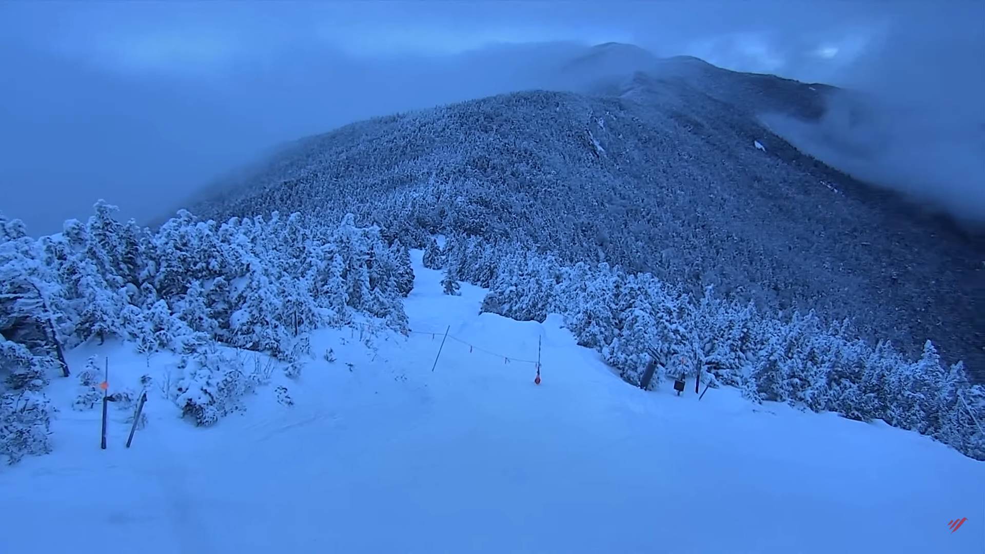
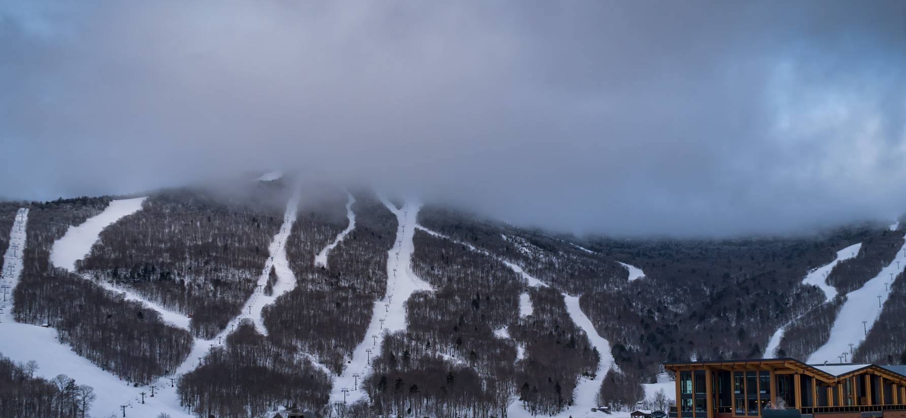
TODAY: Cloudy. Chance for a few flurries northern tier this morning and late in the day. A high near 35. Northwest winds 10 mph.
TONIGHT: A few flurries with a dusting far northern areas. Otherwise, lots of clouds. A low ranging mid-teens to mid-20s. Light northwest winds.
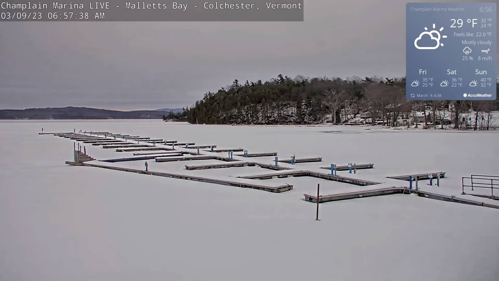
FRIDAY: Variably cloudy but dry. A high mid to upper 30s. Light north to northeast winds.
Looking further ahead
FRIDAY NIGHT: Partly cloudy. A low 15 to 20.
SATURDAY: Variable morning clouds with a few stray flurries far southern areas, then filtered sunshine in the afternoon. A high in the upper 30s. (Sap run)
SUNDAY: A beauty. Sunshine predominates. Some high clouds in the afternoon. A low in the teens. A high 40 to 45. (Sap run).
MONDAY: Cloudy. Rising chance for periods of wet snow developing in the afternoon. Some accumulation mainly southern areas. A low around 25. A high 35 to 40.
TUESDAY: Overcast. Chance for snow, possibly moderate to heavy at times especially central and southern areas. A low around 30. A high 32 to 35.
WEDNESDAY: Gray skies. Chance for linger snow showers/flurries. A low mid-20s to near 30. A high 32 to 35.
Average lows in the teens. Average highs mid-30s to around 40.
Climatological winter ends Today… Vernal equinox March 20th as we start spring
RH/3-8 forecast][end]
