
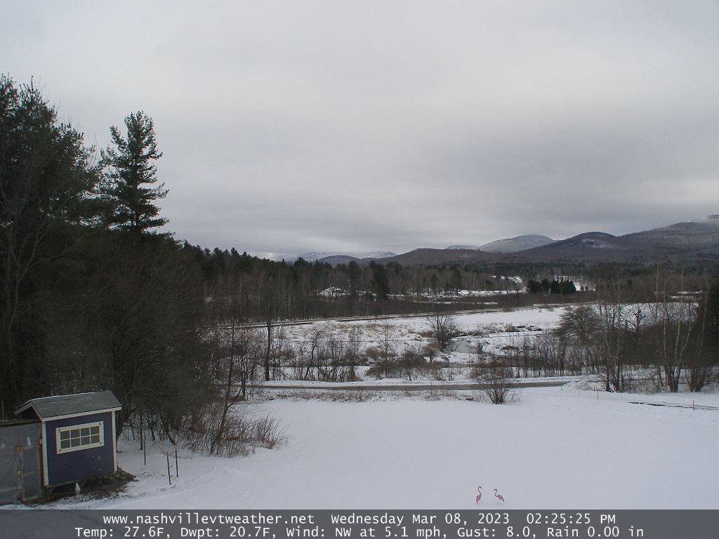
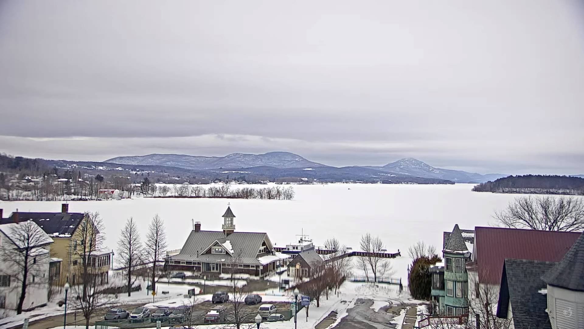
TONIGHT: Lots of clouds. Scattered flurries and mountain snow showers flare-up slightly this evening. A dusting to less than an inch northern areas. A low in the low to mid 20s. Light northwest winds.
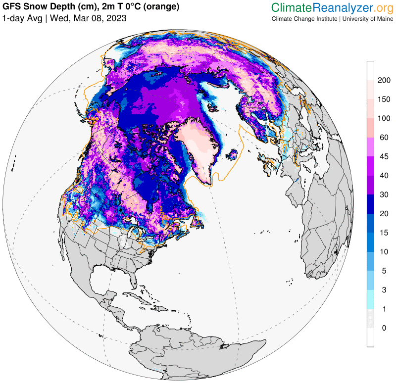
Approximate climatological winter ends tomorrow March 9th
TOMORROW: Mostly cloudy. Scattered flurries lingering, little more than a dusting. A high 30 to 35. Northwest winds 10 mph.
THURSDAY NIGHT: A few flurries with a dusting far northern areas. Otherwise, lots of clouds. A low ranging mid-teens to mid-20s. Little wind.
FRIDAY: Variably cloudy but dry. A high mid to upper 30s. Light north winds.
Looking further ahead
FRIDAY NIGHT: Partly cloudy. A low 15 to 20.
SATURDAY: Filtered sunshine, then increasing sunshine. A high upper 30s near 40. (Sap run)
SUNDAY: A beauty. Sunshine predominates. Some high clouds in the afternoon. A low in the teens. A high in the lower 40s. (Sap run).
MONDAY: Cloudy. Chance for periods of snow developing mainly in the afternoon. A low in the teens. A high near 35.
Average lows in the teens. Average highs mid-30s to around 40.
Climatological winter ends March 9th… Vernal equinox March 20th as we start spring
RH/3-8 forecast][end]
