
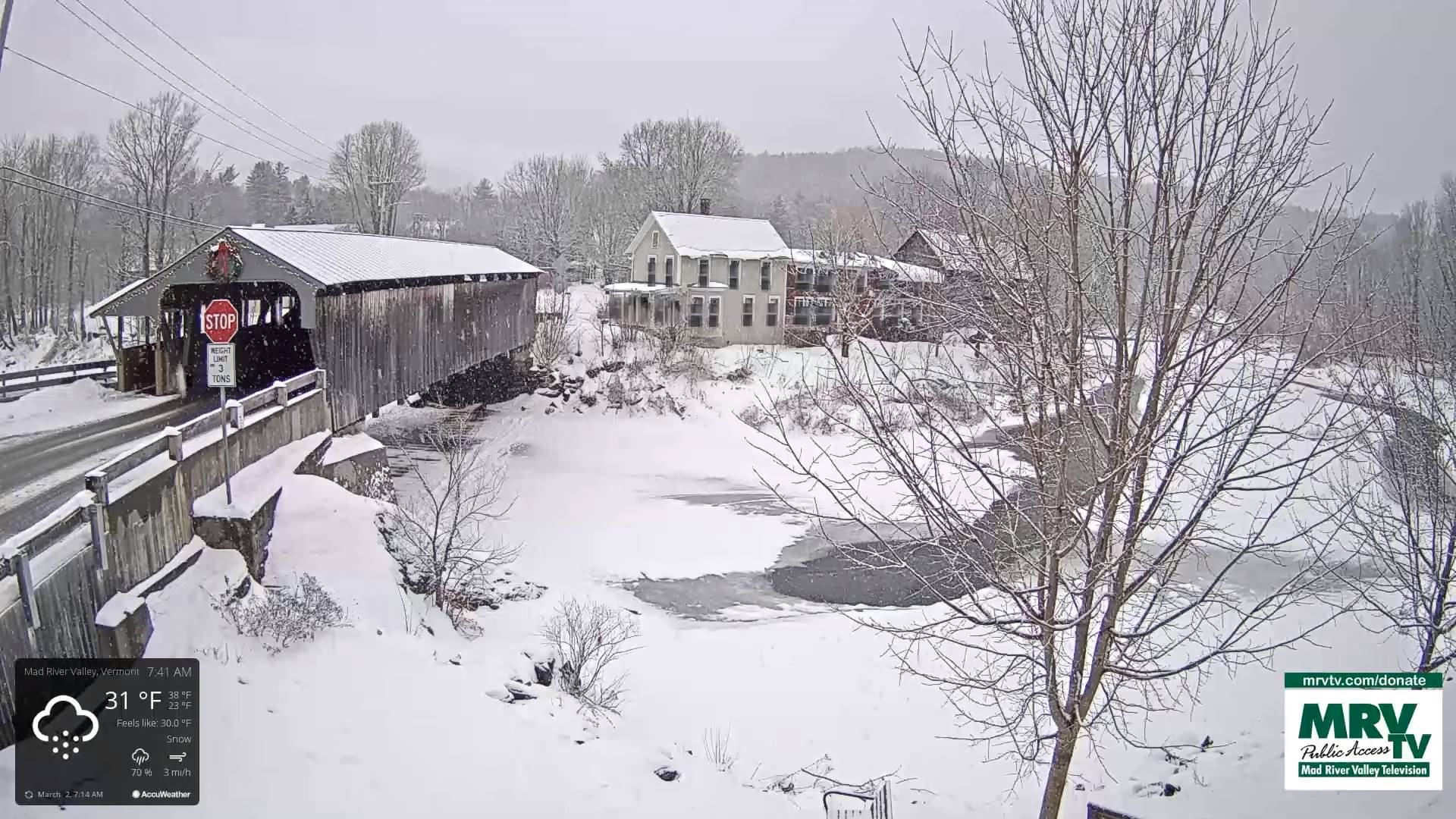
TODAY: Cloudy. Scattered snow showers or wintry mix off & on. Light coatings of snow northern areas, with a wintry mix central & southern areas. Slick travel this morning east of the Greens. Milder this afternoon. A high mid to upper 30s. Northwest winds 10 to 15 mph later in the afternoon.
TONIGHT: Partly to mostly cloudy. Stray northern mountain flurries with a dusting in spots exiting this evening. A low teens to low 20s south. Northwest winds becoming light.
FRIDAY: Filtered sunshine thru high cloudiness thickening up late. A high mid to upper 30s. Light north to northeast winds.
Looking further ahead
Winter Storm Watch late Friday evening thru Saturday evening…
FRIDAY NIGHT: Overcast. Periods of snow becoming likely with about 3 to locally 7” most across southern Vermont before mixing with sleet southern areas. A low in the mid-20s.
SATURDAY: Overcast. Accumulating snow…moderate at times early tapering scattered snow showers/flurries in the afternoon. Additional 2 to locally 5” accumulation. A high 32 to 35.
SUNDAY: Lingering flurries with light coatings in the morning. A low in the mid-20s. A high 30 to 35.
MONDAY: Sunny a few clouds toward New Hampshire. A low around 20. A high in the mid-30s.
Average lows upper single digits to mid-teens. Average highs ranging thru the 30s.
Climatological winter ends March 9th… Vernal equinox March 20th as we start spring
RH/3-2 forecast][end]
