
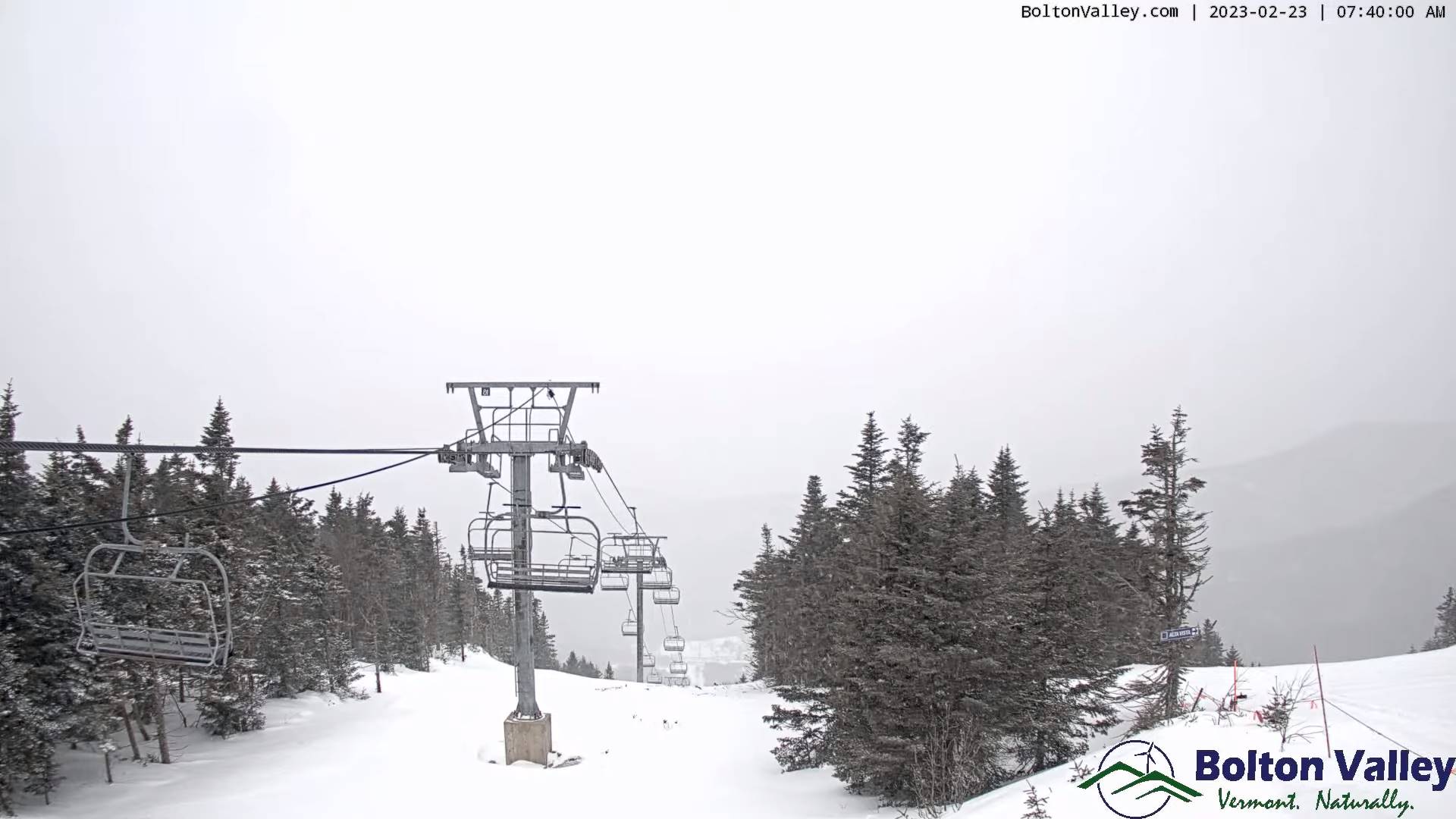
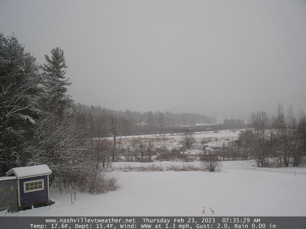
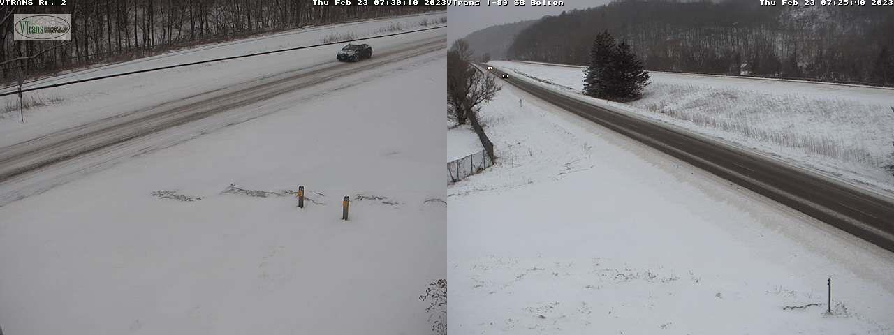
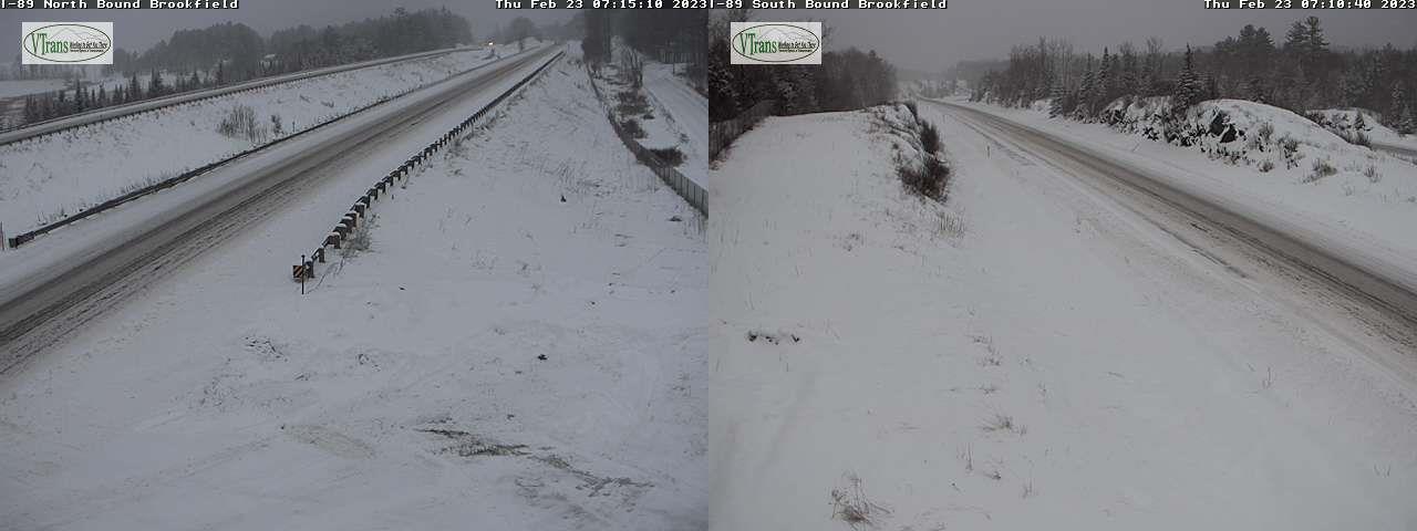
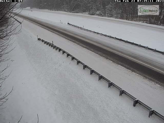
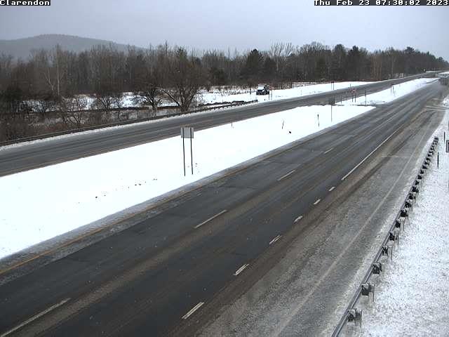
TODAY: Gray.Periods of snow…winding down mid-morning to Isolated to widely scattered snow showers northern areas. Mixed precipitation with more limited accumulation will produce slippery travel.Total accumulation 4 to 9”.A high in the mid-20s. Light east winds.
TONIGHT: Cloudy. A light wintry mix changing back to scattered snow showers/flurries. Accumulation dusting to locally 3” with the most northern areas.Lows about 5 to 15 northern and in the 20s southern Vermont. Light southwest winds.
FRIDAY: Mountain snow showers and valley flurries exiting in the afternoon. Otherwise considerable cloudiness.Blustery to windy and colder. A high about 10 to 15 with lowered wind chills. Northwest winds 10 to 25 mph causing blowing and drifting and possible white-outs.
Looking further ahead
FRIDAY NIGHT: Evening clouds then mostly clear and frigid. A low ranging from 5 to 20 below zero.
SATURDAY: Filtered sunshine gives way to thickening clouds with a rising chance for scattered snow showers or flurries with up to a couple inches of fluffy snow.Frigid.A high 10 to 15.
SUNDAY: Mainly cloudy. Chance for fluffy snow showers & flurries. A dusting to an inch or two possible. Frigid. A low 10 below to 5 above. A high 25 to 30.
MONDAY: Filtered sunshine thru high cloudiness. A low zero to 10 above. A high around 30.
TUESDAY: Overcast. Chance for snow or mixed precipitation…possibly a few to several inches. A low upper teens to mid-20s. A high upper 20s to mid-30s.
Average lows upper single digits to mid-teens. Average highs in the low to mid-30s.
Climatological winter ends March 9th… Vernal equinox March 20th as we start spring
RH/2-23 forecast][end]
