
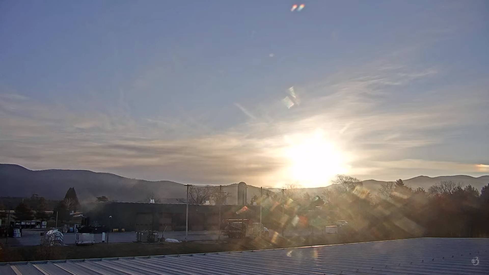
TODAY: Some clouds mixing with sunny periods this morning. Gray this afternoon with a rising chance a period of wet accumulating snow showers late. A high upper 30s to around 40. Southeast winds 10 mph.
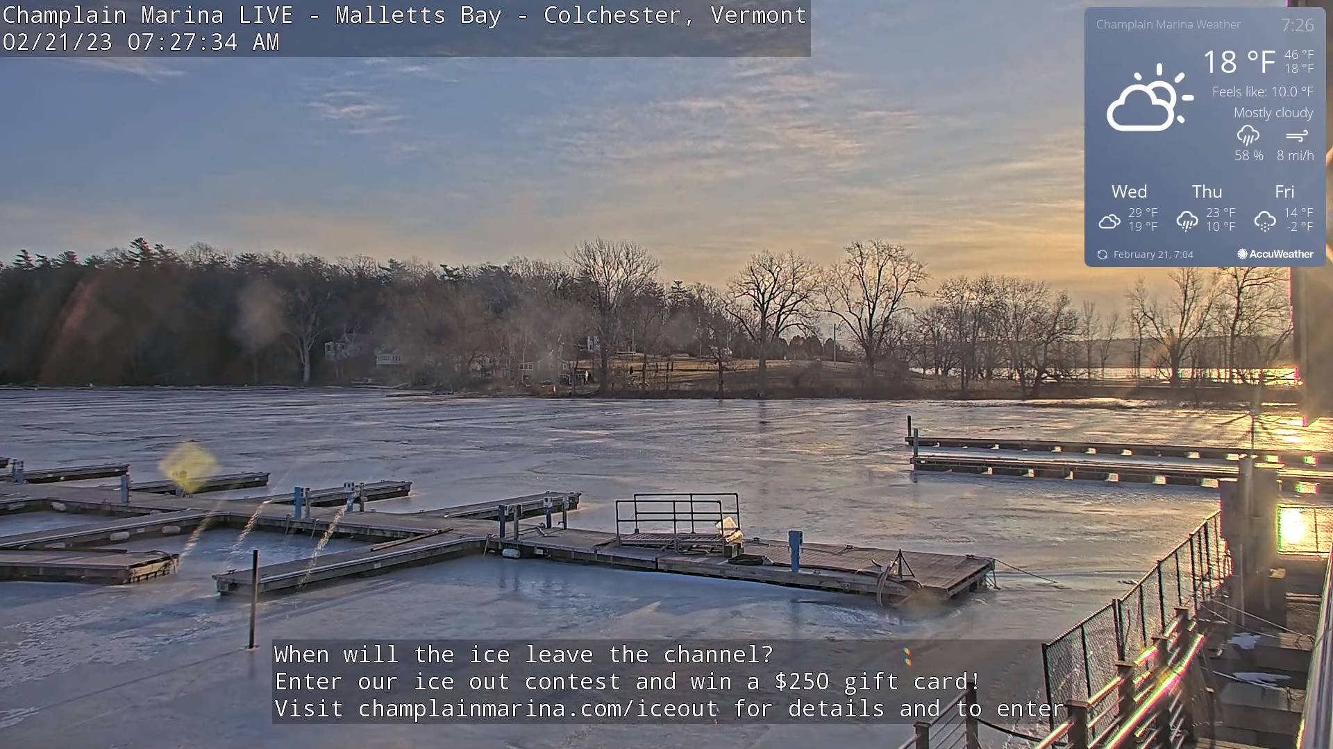
TONIGHT: Evening snow showers tapering off to scattered flurries. A dusting to locally 2” otherwise partly cloudy & blustery.A low upper teens to mid-20s. Winds becoming westerly 10 to 20 mph.
WEDNESDAY: Clouds with a few hints of sun thickening in the afternoon. A high in the upper 20s north, and mid-30s south.Light northwest winds.
Looking further ahead
Winter Storm Watch Wednesday Evening thru Thursday Afternoon…
WEDNESDAY NIGHT: Cloudy. Periods of accumulating snow developing, moderate to briefly heavy at times. About 2 to locally 4” accumulation most southern areas. A low 15 to 20 north and 20 to 25 south.
THURSDAY: Gray.Periods of snow…moderate to briefly heavy at times early.Light snow showers or flurries mixing with sleet and possible spotty freezing rain southern half of the state.Travel will be slick with accumulation 2 to 4”.A high in the mid-20s.
FRIDAY: Snow showers winding down as flurries with dusting to 3” additional accumulation, total accumulation about 6 to 10”otherwise morning clouds gives way to few breaks of sun afternoon sun. Blustery. A morning low 5 to 10 above with a high near 15.
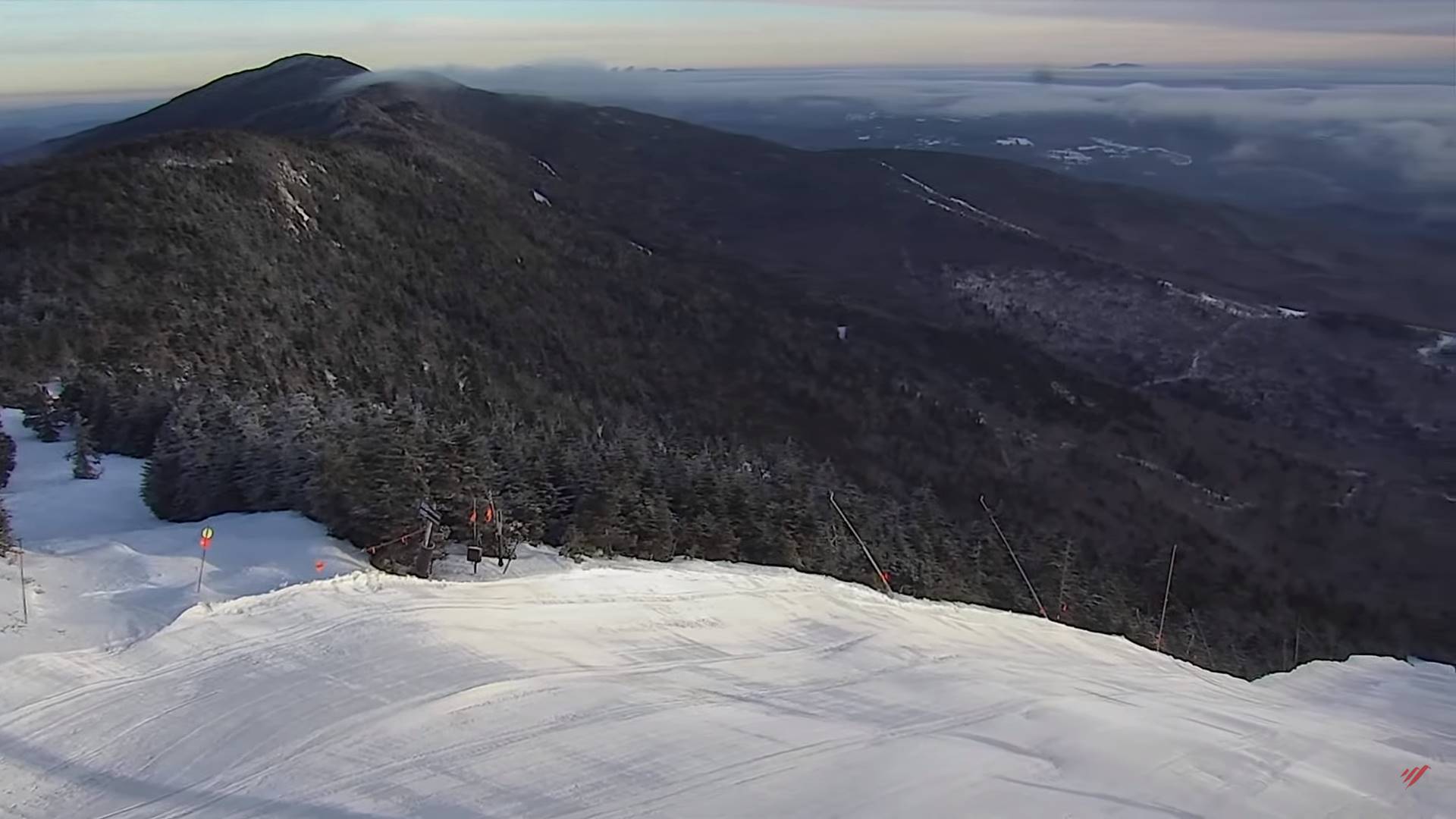
SATURDAY: Filtered sunshine gives way to thickening clouds.Frigid.A morning low ranging zero to 15 below.
A high around 15.
SUNDAY: Mainly cloudy. Chance for dry powder snow. A few inches possible. Frigid. A low 5 below to 10 above. A high around 25.
Average lows upper single digits to mid-teens. Average highs in the low to mid-30s.
Climatological winter ends March 9th… Vernal equinox March 20th as we start spring
RH/2-20forecast][end]
