
Winter Weather Advisory thru 7 PM this evening…
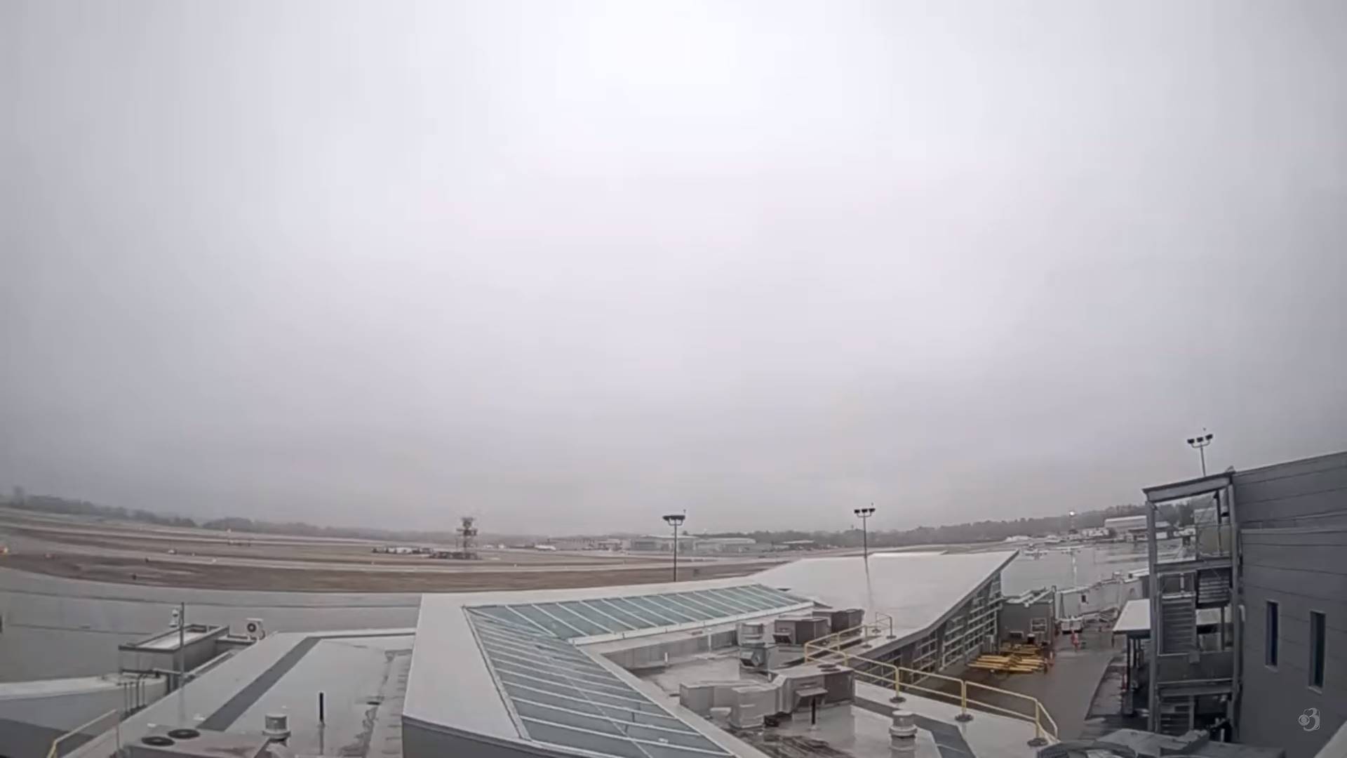
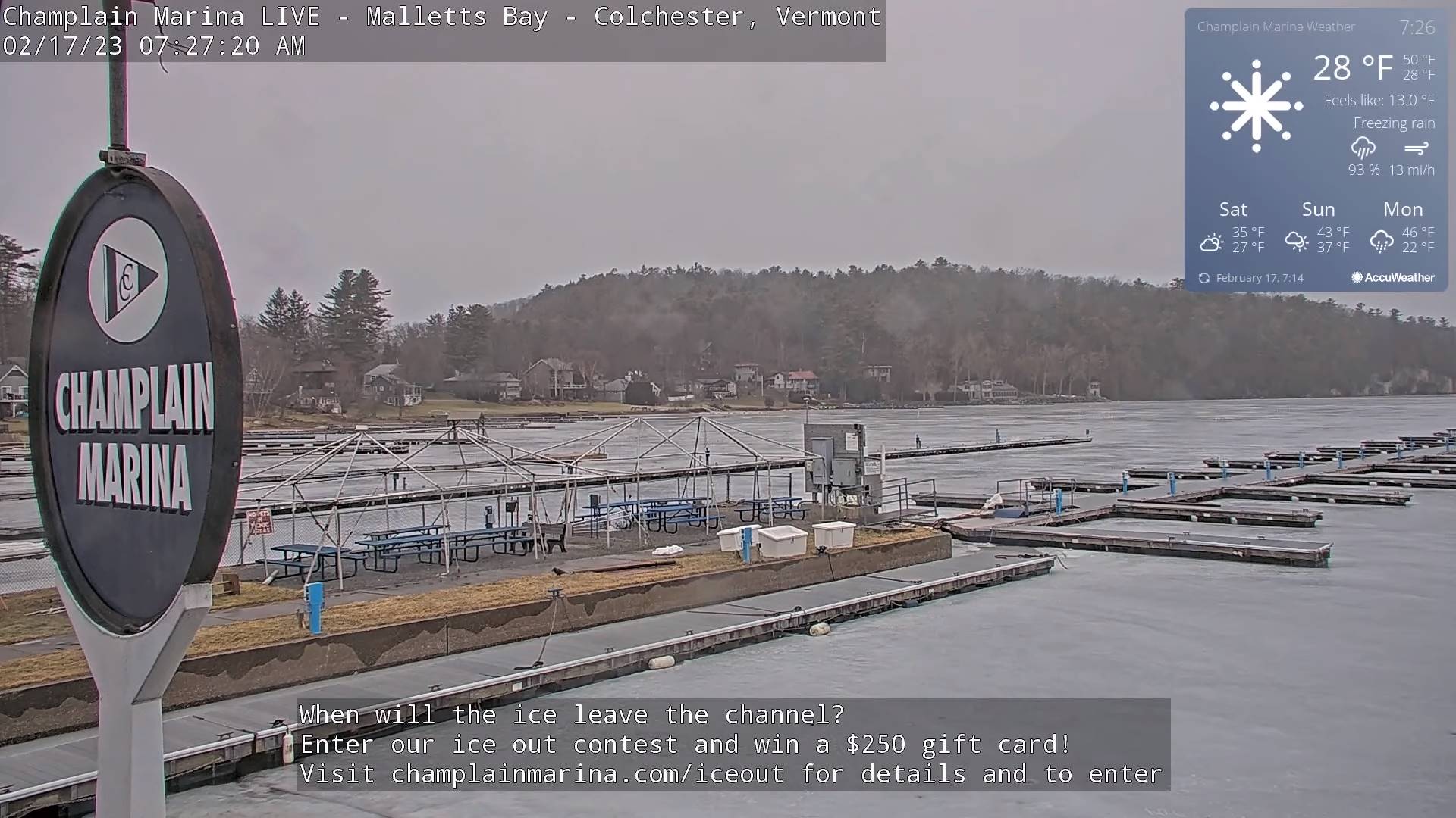
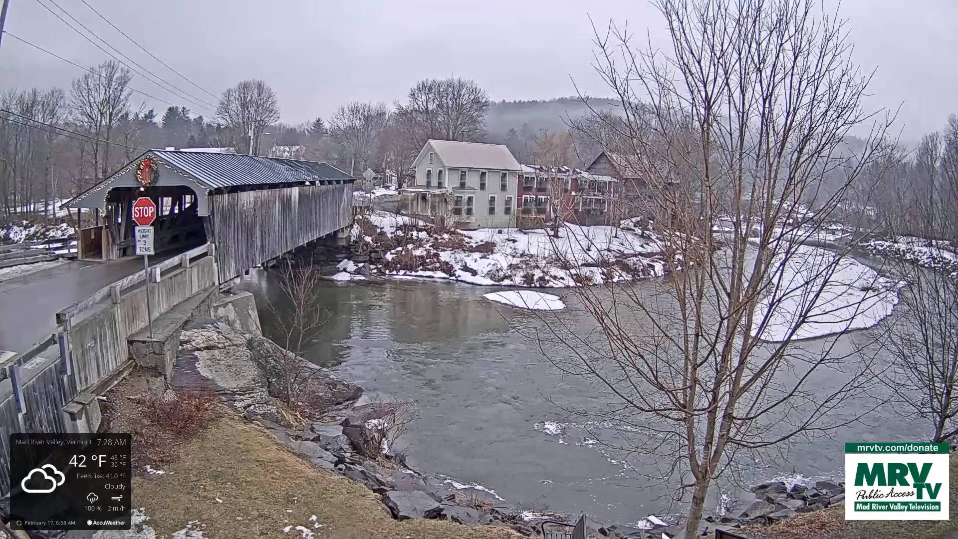
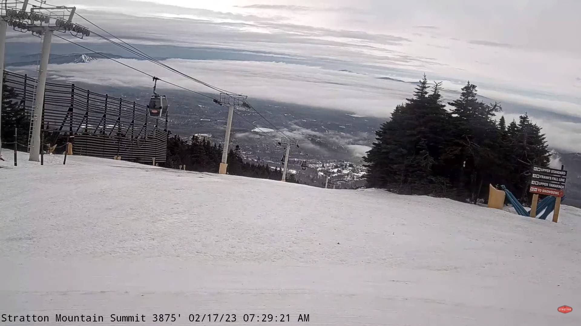
TODAY: Gray. Periods of freezing rain with light ice accretion northern and western Vermont. Rain showers eventually transition to freezing rain before mixing with sleet and snow with light ice accretion going into mid-day/early afternoon. Becoming blustery. Temperatures falling thru the 30s into the 20s from northwest to southeast. Light northwest winds increasing to 10 to occasionally 20 mph & gusty in the afternoon.
TONIGHT: Evening clouds with a few leftover flurries.Becoming mostly clear and frigid.A low 5 to 15 above coldest northern areas. Northwest winds 10 to 20 mph lowering wind chills in the evening falling off overnight.
SATURDAY: Periods of sunshine mixing with more clouds in the afternoon. A high around 30 Northeast Kingdom to mid-30s elsewhere. Light southwest winds.
Looking further ahead
SATURDAY NIGHT: Partly to mostly cloudy.A low upper teens to mid-20s.
SUNDAY: Filtered sunshine clouding up in the afternoon. Warmer. A high in the lower 40s.
MONDAY: Mostly cloudy. Scattered rain showers mixing with wet snow high terrain with minor accumulation. A low ranging 30 to 32. A high near 45.
TUESDAY: Intervals of sun mixed with cloudy periods. A low in the teens. Highs upper 30s to mid-40s.
Average lows upper digits to mid-teens. Average highs upper 20s to mid-30s.
Climatological winter ends March 9th… Vernal equinox March 20th as we start spring
RH/2-17forecast][end]
