
Winter Weather Advisory expires late…
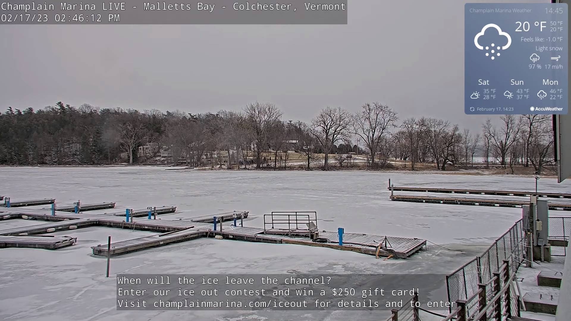
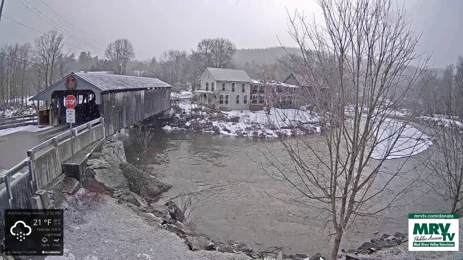
TONIGHT: Evening clouds with a stray flurry drying up.Becoming mostly clear and frigid.A low ranging zero to 15 above, coldest Northeast Kingdom. Northwest winds 10 to 15 mph decreasing.
TOMORROW: Periods of sunshine mixing with more clouds in the afternoon. A high near 30 Northeast Kingdom to mid-30s elsewhere. Light northwest winds.
SATURDAY NIGHT: Mostly clear to partly cloudy northern areas.A low ranging 15 to 25. Light southwest winds.
SUNDAY: Filtered sun then mainly gray but warmer. A high 40 to 45. Light southwest winds.
Looking further ahead
SUNDAY NIGHT: Variably cloudy. A low ranging 30 to 35.
MONDAY: Mostly cloudy. Scattered rain showers mixing with wet snow little accumulation. A 40 to 45.
TUESDAY: Intervals of morning sun, then gray. Rising chance for late day accumulating snow showers. A low in the teens. Highs upper 30s to around 40.
WEDNESDAY: Lots of clouds. Colder. Lows 15 to 25. Highs 25 to 32.
Average lows upper digits to mid-teens. Average highs upper 20s to mid-30s.
Climatological winter ends March 9th… Vernal equinox March 20th as we start spring
RH/2-17forecast][end]
