
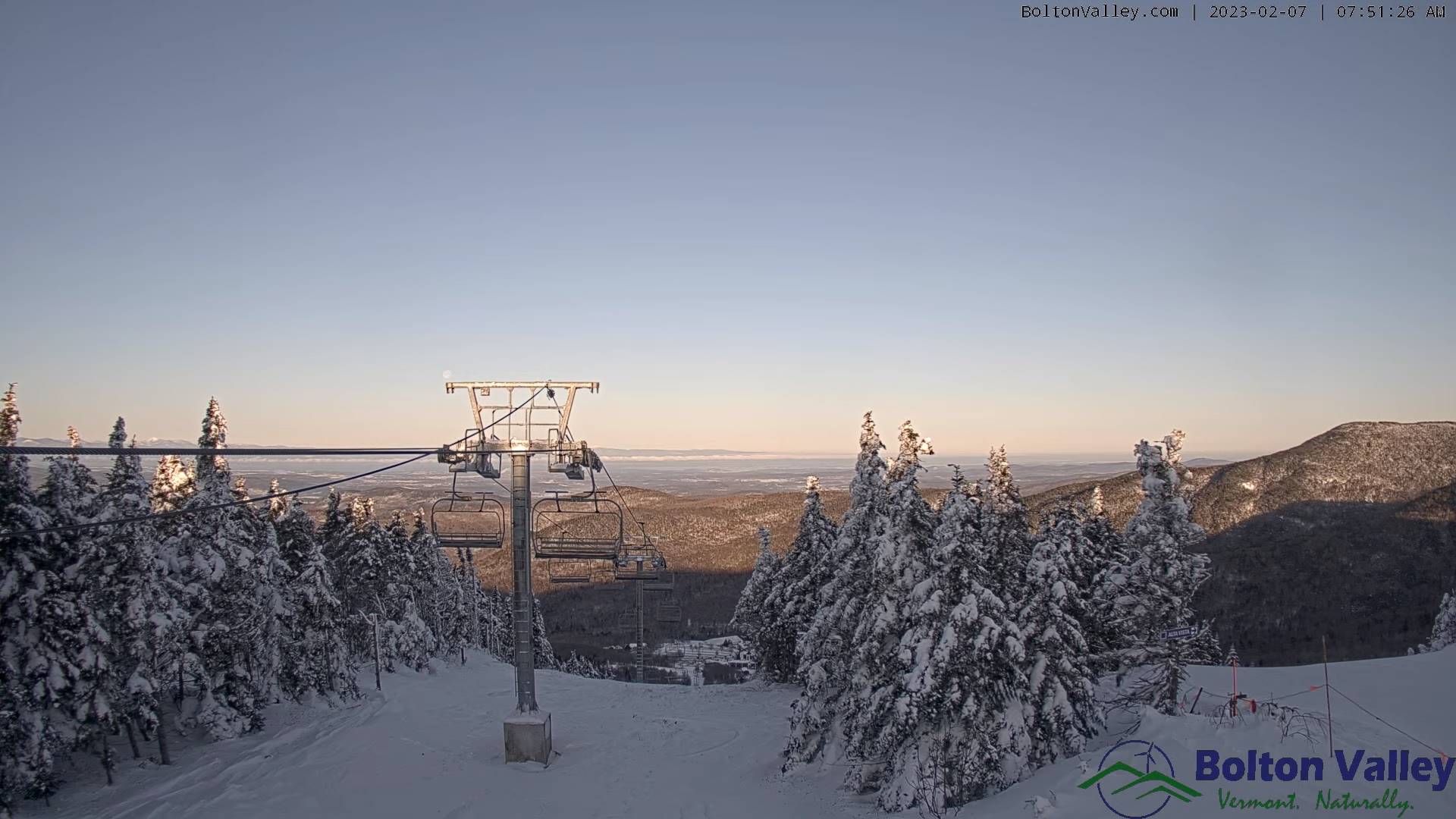
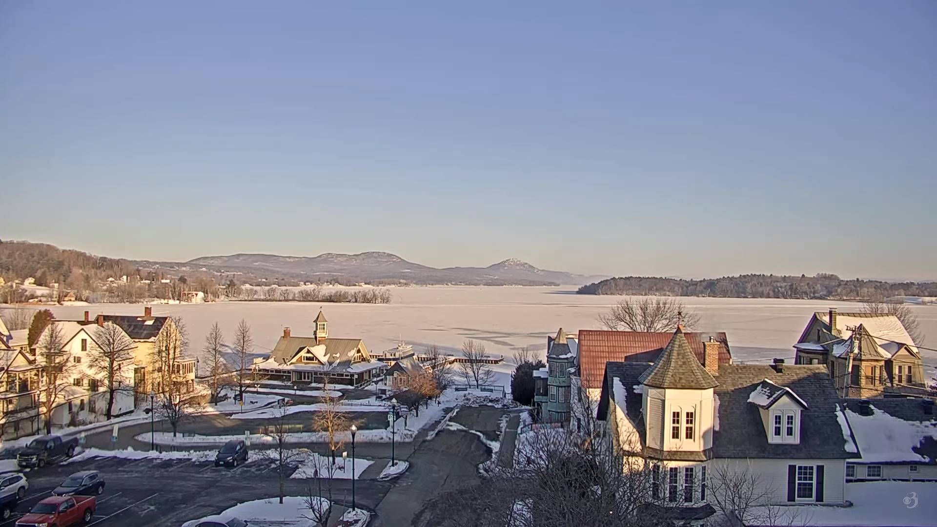
TODAY: Morning sunshine gives way to lots of clouds. A high 30 to 35. Southeast winds 10 mph stronger near Lake Champlain.
TONIGHT: Cloudy. Light accumulating snow showers arriving this early evening with a light coating affecting travel along and east of the Green Mountains…tapering to isolated flurries. A low 25 to 30. South to southwest winds 10mph.
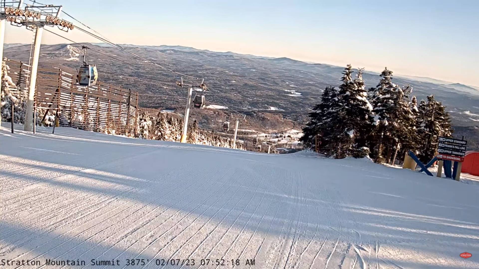
WEDNESDAY: Widely scattered morning flurries, followed by gradual clearing later in the afternoon. A high around 35. Wind becoming northwesterly 10 to 15 mph.
Looking further ahead
WEDNESDAY NIGHT: Mostly clear with a few high clouds. A low mid-teens to low 20s.
THURSDAY: Filtered sunshine early then thickening clouds. Rising chance for accumulating snow or mixed precipitation by dark with slick travel developing. A low in the teens. Warming trend. A high in the mid-30s.
THURSDAY NIGHT: Overcast. A wintry mix likely with poor travel in the evening…gradually transitioning to rain showers overnight. A low 32 to 35.
FRIDAY: Chance for lingering sprinkles or light rain showers early then, intervals of afternoon sunshine. A low near 35. Much milder. A high near 45.
SATURDAY: Mainly cloudy. A low mid-teens to around 20. A high near 35.
SUNDAY: Partly to mostly sunny. Lows in the single digits. Highs in the upper 30s
Average lows upper digits to low teens. Average highs upper 20s to mid-30s.
Climatological winter ends March 9th…
RH/2-7forecast][end]
