
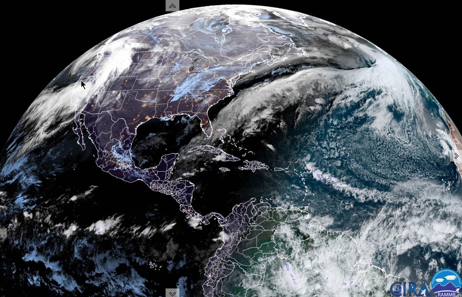
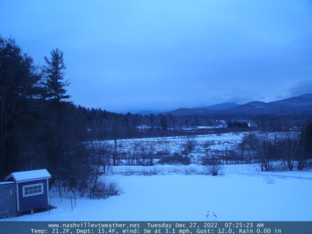
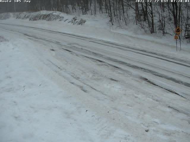
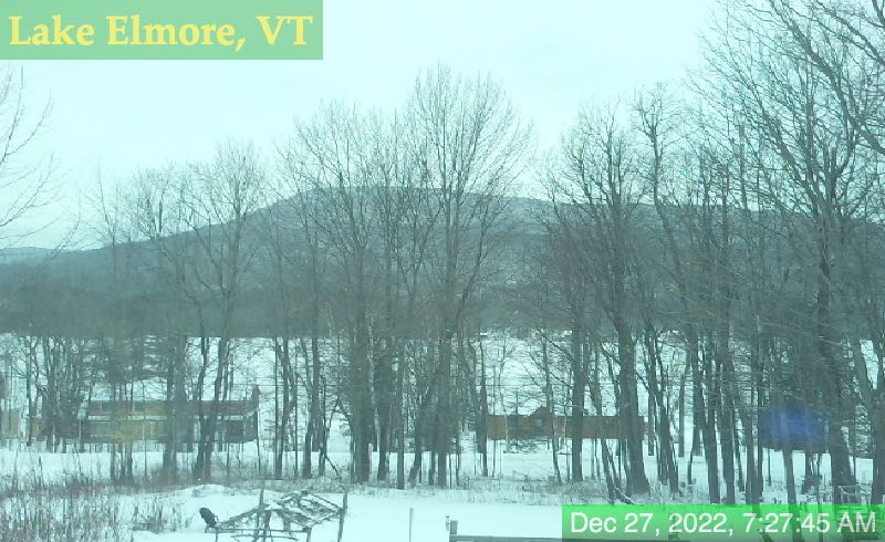
TODAY: Clouds with breaks of sunshine away from the mountains Scattered snow showers & valley flurries mainly northern areas this morning, A few stray flurries northern Greens this afternoon with about a dusting to an inch. A high mid-to upper 20s. West to southwest winds 10 to 15 mph.
TONIGHT: Scattered clouds to mostly clear in the evening, then increasing clouds. A rising chance for light accumulating snow showers/flurries after midnight. Minor accumulation. A low in the teens. Light southwest winds.
WEDNESDAY: Scattered mainly morning flurries with minor accumulation. Partial sunshine at times. A high 30 to 35. Light south winds stronger near Lake Champlain.
Looking Further Ahead…
WEDNESDAY NIGHT: Partly cloudy. A low in the low to mid 20s.
THURSDAY: Partly to mostly cloudy becoming milder. A high 40 to 45.
FRIDAY: Considerable cloudiness. A low near 30. A high mid to upper 40s.
SATURDAY: Cloudy. Chance for a few sprinkles, possible icy slick spots in the morning. A low 32 to 35. A high around 45.
SUNDAY: Gray. Chance for periods of light rain or showers. Areas of fog. A low 35 to 40. A high mid-40s.
Average lows 5 to 15 above. Average highs mid-20s to near 30.
Climatological winter peaks approx. January 22nd ends March 9th…
RH/12-26forecast][end]
