
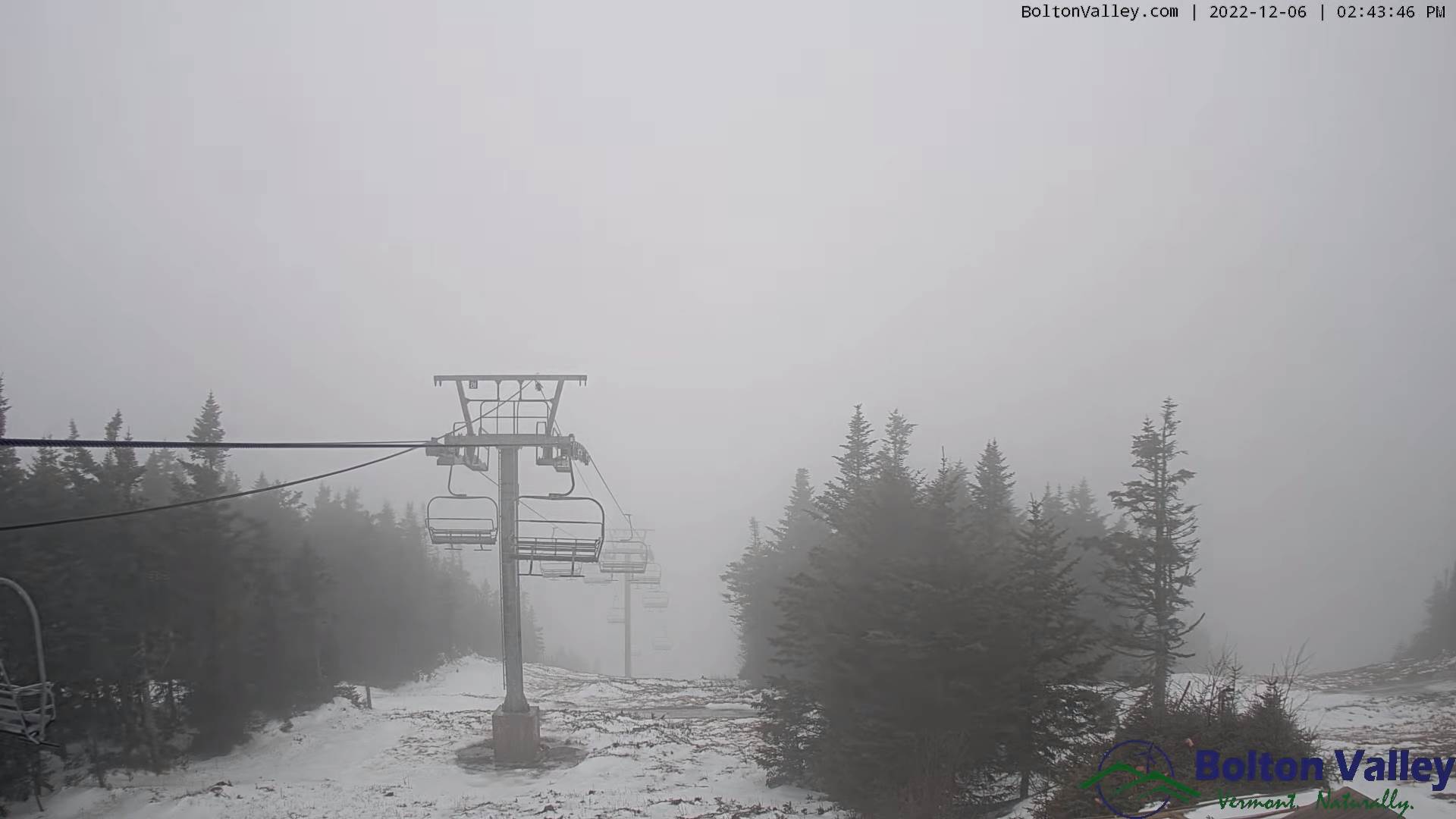
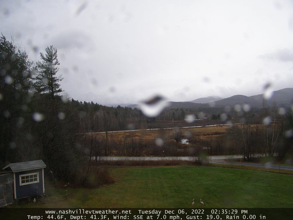
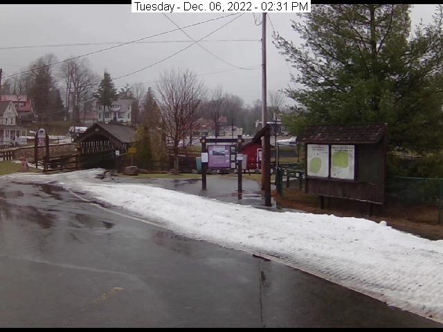
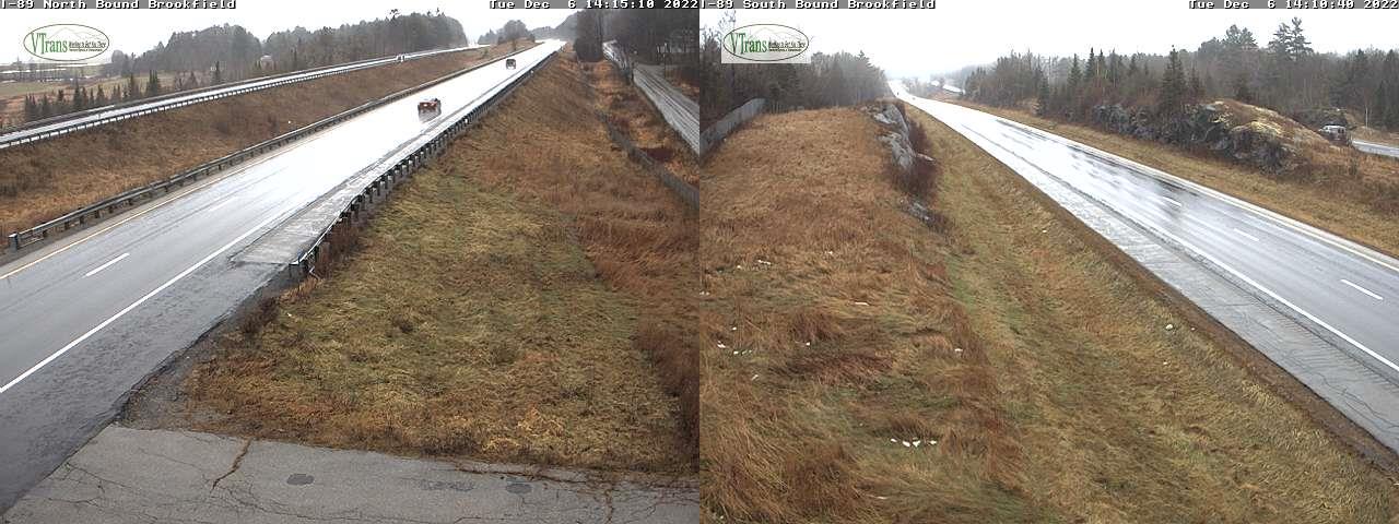
TONIGHT: Overcast. Periods of rain or showers. Areas of fog. Rather mild but damp. Temperatures holding in the mid-40s. Southeast winds 10 to 15 mph.
Full “Cold Moon” 11:08 AM (hah)
TOMORROW: Continued gray skies with periods of rain or showers. Areas of fog. A high in the upper 40s to around 50. Southeast breeze 10 to 15 mph mainly in the morning.
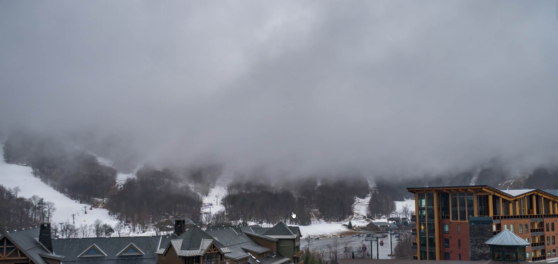
WEDNESDAY NIGHT: Mainly cloudy with areas of fog. A few leftover sprinkles mixed with wet snowflakes exiting.A low in the mid-30s. Winds becoming northwest 10 to 15 mph.
THURSDAY: Any early sprinkles/mountain flurries dry up. Otherwise increasing afternoon sunshine. Temperatures in the mid to upper 30s. Northwest winds 10 to 15 mph.
Looking Further Ahead…
THURSDAY NIGHT: Clear and partially moonlit. A low upper teens to low 20s.
FRIDAY: Sunny. A high around 35.
SATURDAY: Clouds with a few intervals of sun possible. A low 20 to 25. A high in the mid to upper 30s.
SUNDAY: Becoming mostly cloudy. A low mid to upper 20s. A high back to the mid-40s.
Average lows mid-teens to low-20s. Average highs low to mid 30s
Start of Climatological Winter December 12th…peaks (coldest January 22nd,) ends March 9th…
RH/12-6forecast][end]
