
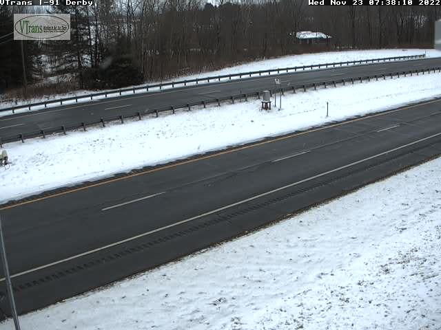
TODAY: Considerable cloudiness. A few mountain flurries central and northern areas. A high upper 30s. Northwest winds 10 mph.
TONIGHT: A stray flurry or two then partial clearing. A low 20 to 25. Little wind.
THURSDAY THANKSGIVING DAY: “Pick of the week” Periods of sun, becoming filtered thru high clouds in the afternoon. Seasonable in temperature. A high around 40. Light southwest winds.
Looking Further Ahead…
THURSDAY NIGHT: Fair in the evening then clouding up. A low about 30.
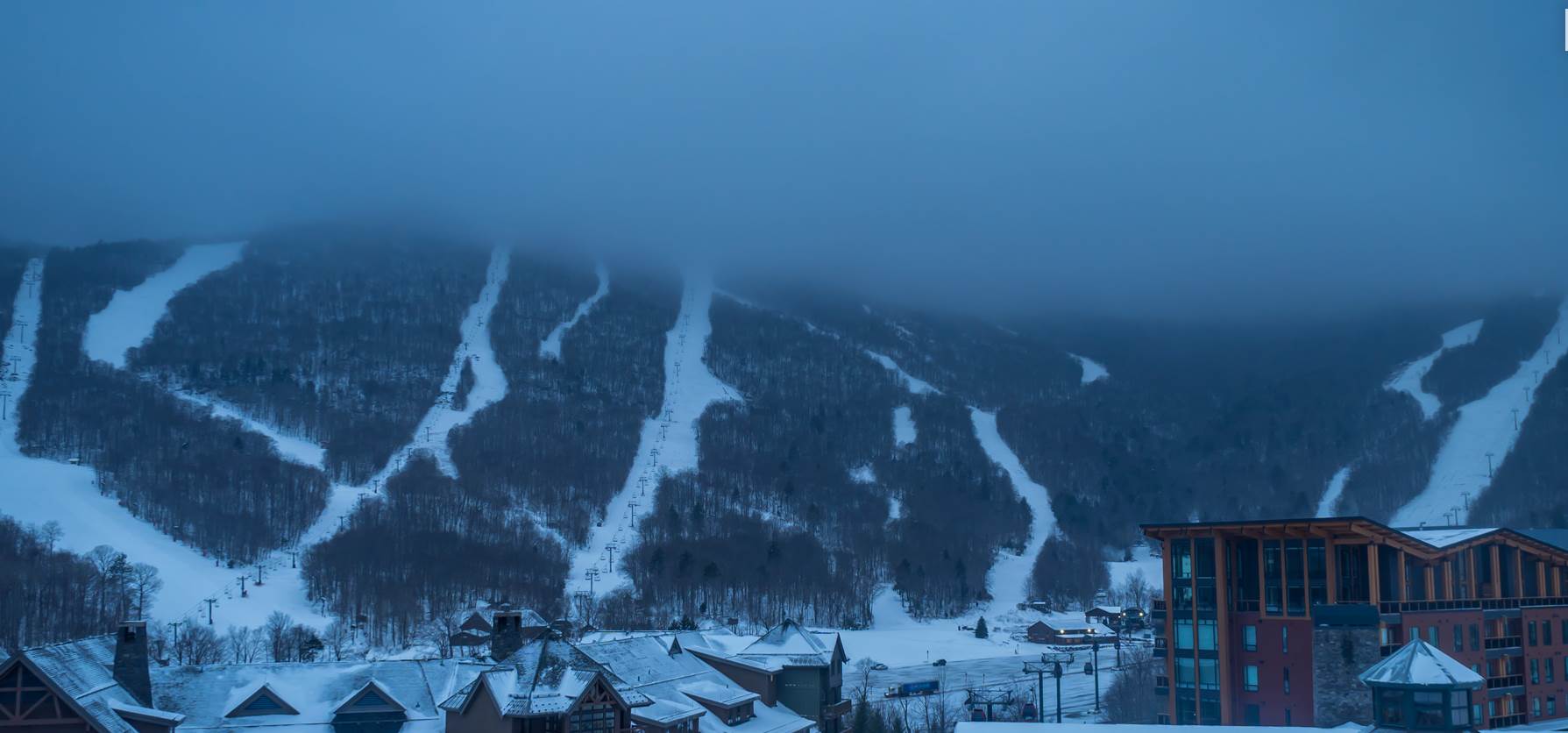
FRIDAY: Cloudy. Rain showers becoming likely, with wet snow accumulations above 1500 ft. Becoming rather blustery. A high 40 to 45.
SATURDAY: A few leftover mountain snow showers and valley flurries drying up in the morning. Increasing afternoon sunshine. A low around 30. A high 40 to 45.
SUNDAY: Gray & raw. Breezy to windy at times rising chance for rain, with a spotty freezing rain and pockets of slick travel at onset. Areas of fog. A low around 30. A late day high near 45.
MONDAY: Mostly cloudy. Blustery to windy. Scattered rain and wet snow showers elevated terrain. A low around 30. A high in the low 40s.
Average lows low to mid 20s. Average highs upper 30s to mid-40s
RH/11-23forecast][end]
