
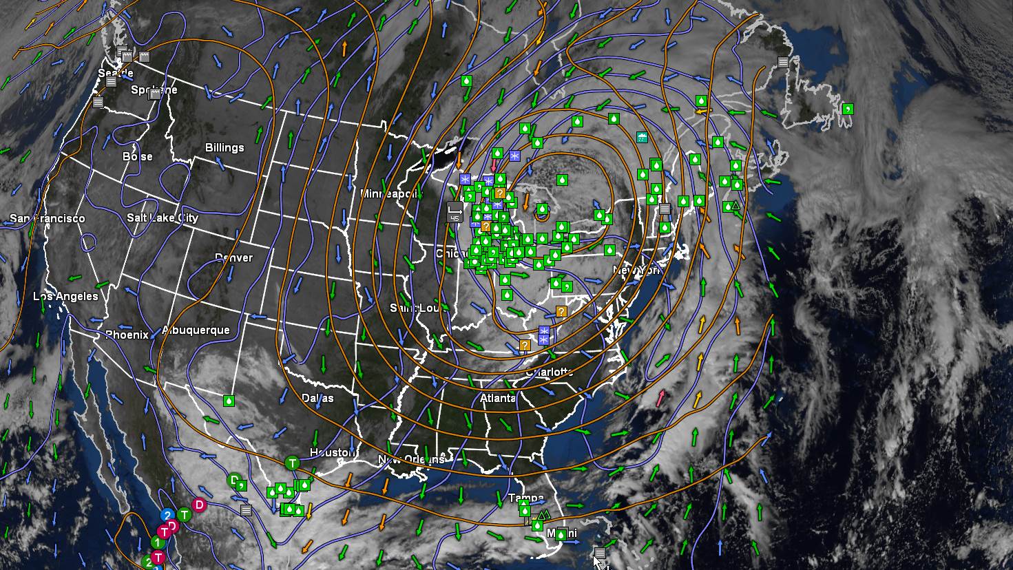
TONIGHT: Becoming mostly clear with considerable dense valley fog. Areas of frost. A low around 32 degrees. Little wind.
TOMORROW: Lots of sunshine with more clouds later in the afternoon. Seasonably cool. A high in the lower 50s. Southwest breeze 10 mph.
WEDNESDAY NIGHT: Scattered clouds, patchy valley fog. A low around 35. Light southwest winds.
THURSDAY: More clouds than sun. Chance for a few passing showers northwestern Vermont, mixed with wet snowflakes high terrain. A high in the upper 40s. Southwest breeze 10 to 15 mph.
Looking Further Ahead…
THURSDAY NIGHT: Mostly cloudy. Scattered passing rain showers mixed wet snow flakes or snow grains. A low in the mid-30s.
FRIDAY: Mixed sun and clouds. A high near 55.
SATURDAY: Mostly sunny with a few high clouds. Milder. A low 35 to 40. A high 60 to 65.
SUNDAY: Variable high cloudiness but lots of sunshine. Above normal in temperature. A low in the upper 30s around 40. A high near 65.
Average lows 30 to 35. Average highs in the mid-50s.
RH/10-17forecast][end]
