
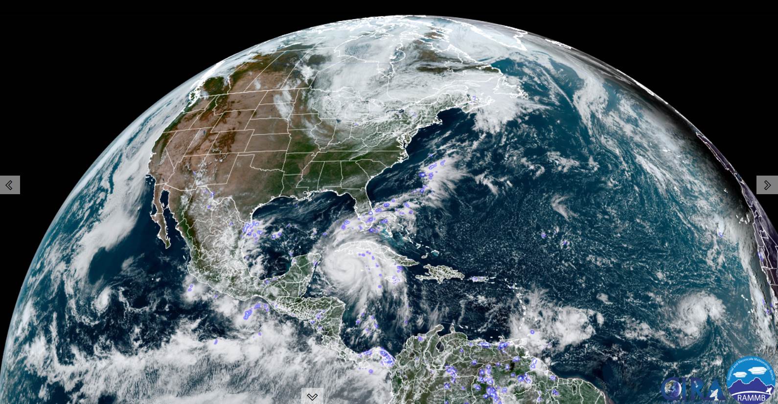
TONIGHT: Showers…with an embedded thunderstorms or two this early to mid-evening, otherwise partly cloudy with an isolated shower. Patchy valley fog. A low 45 to 50. Light south winds.
TOMORROW: Clouds with intervals of sun central and southern areas. Chance for a few showers northern/western areas. A high 60 to 65. Southwest winds 10 to 15 mph.
TUESDAY NIGHT: Mainly cloudy. A few brief showers. A low mid to upper 40s. Light southwest winds.
WEDNESDAY: Mostly cloudy. Scattered rain showers. A high upper 50s to around 60. Winds becoming northwest 10 mph.
Looking Further Ahead…
WEDNESDAY NIGHT: Partly to mostly cloudy. A low mid-40s.
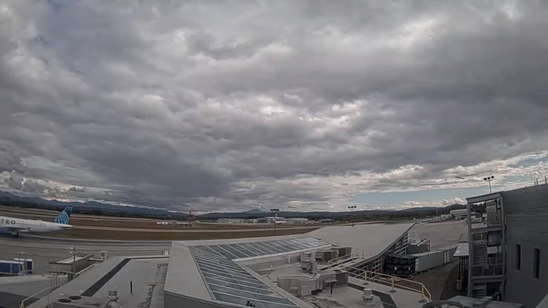
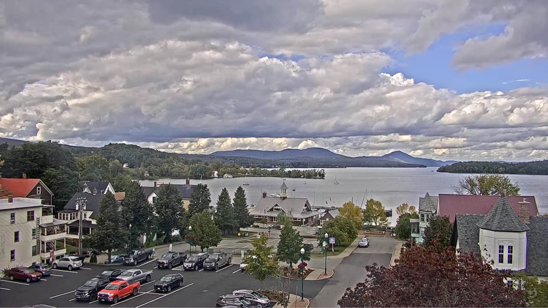
THURSDAY: Patchy valley fog burns off to clouds…giving way to increasingly sunny skies. Chilly. A high 50 to 55.
FRIDAY: Patchy valley fog, then bright sun and blue skies. A low ranging thru the 30s with possible frost. A high around 60.
SATURDAY: Patchy valley fog burns off to mostly sunny skies. A low 35 to 40. A high in the mid-60s.
Average lows upper 30s to lower 40s. Average highs low to mid-60s.
RH/9-26[forecast][end]
