
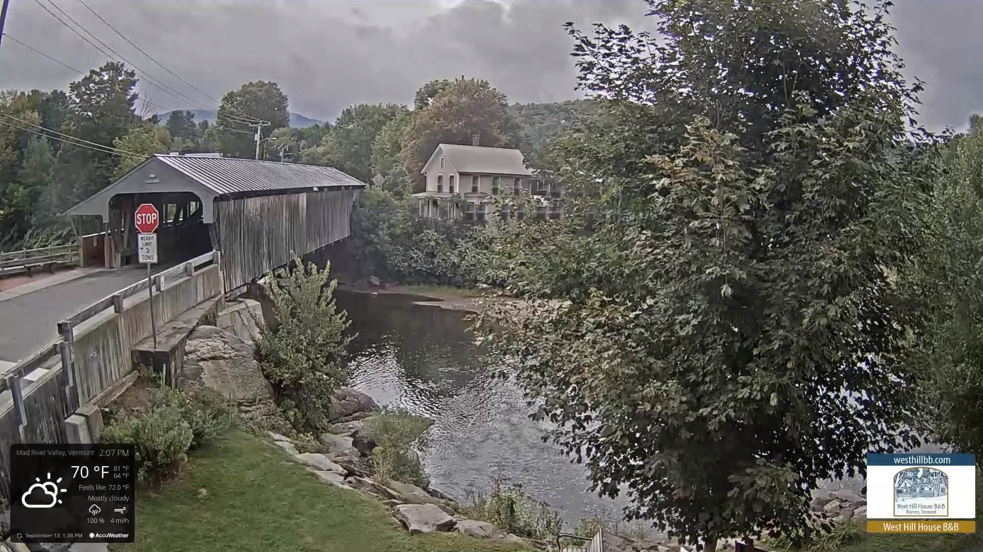
TONIGHT: Evening clouds. Showers & a few thunderstorms, some briefly heavy exiting the Canadian border late this evening. Skies becoming partly cloudy for a time. Patchy valley fog. A low near 55. Southwest winds 10 mph
TOMORROW: Considerable morning clouds with showers returning northern areas. Becoming blustery with intervals of afternoon sunshine. A high near 70. Winds becoming northwesterly 10 to 20 mph.
WEDNESDAY NIGHT: Partly to mostly cloudy. A low 45 to 50. Northwest winds 10 mph.
THURSDAY: Some lingering cloudiness northern areas, mostly sunny central and southern areas. A high 60 to 65. Northwest winds 10 to 15 mph.
Looking Further Ahead…
THURSDAY NIGHT: Scattered clouds northern areas otherwise clear. A low 40 to 45.
FRIDAY: Partly sunny. A high in the low 60s.
SATURDAY: Sunshine mixing with high clouds. A low around 40. A high in the mid-60s.
SUNDAY: Partial sun then clouding up with scattered showers northern areas. Warmer and little humid. A low 50 to 55. A high in the mid to upper 70s.
MONDAY: Partly to mostly cloudy. Chance for showers mainly northern areas. A low in the low 50s. A high pushing 80 degrees.
Average lows mid-40s to low 50s. Average highs upper 60s to low 70s
RH/9-12[forecast][end]
