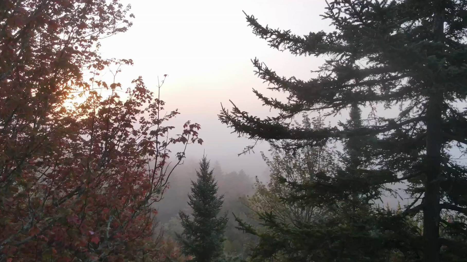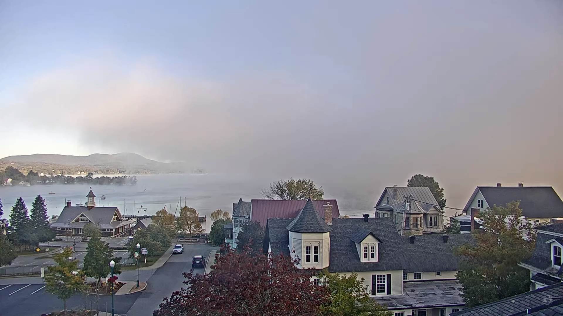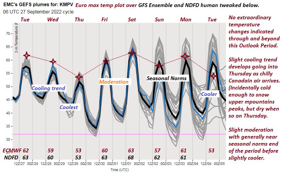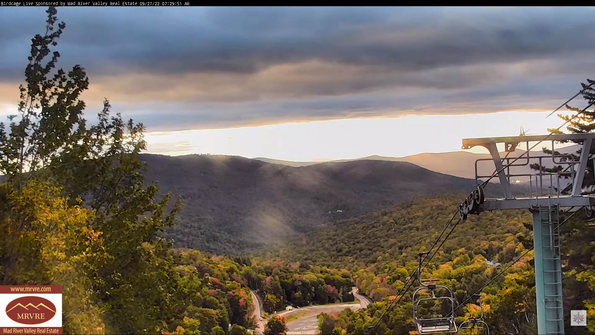
TONIGHT: Mostly clear with some high cloudiness. Patchy valley fog. A low 40 to 45. Little wind.
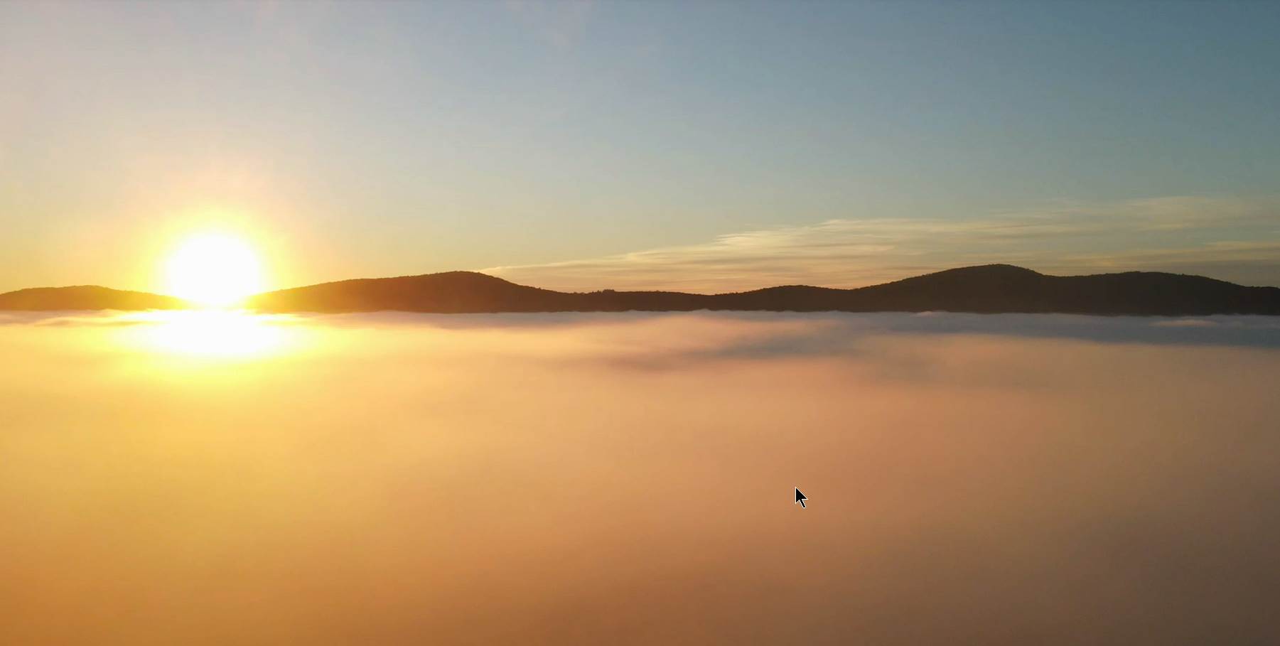
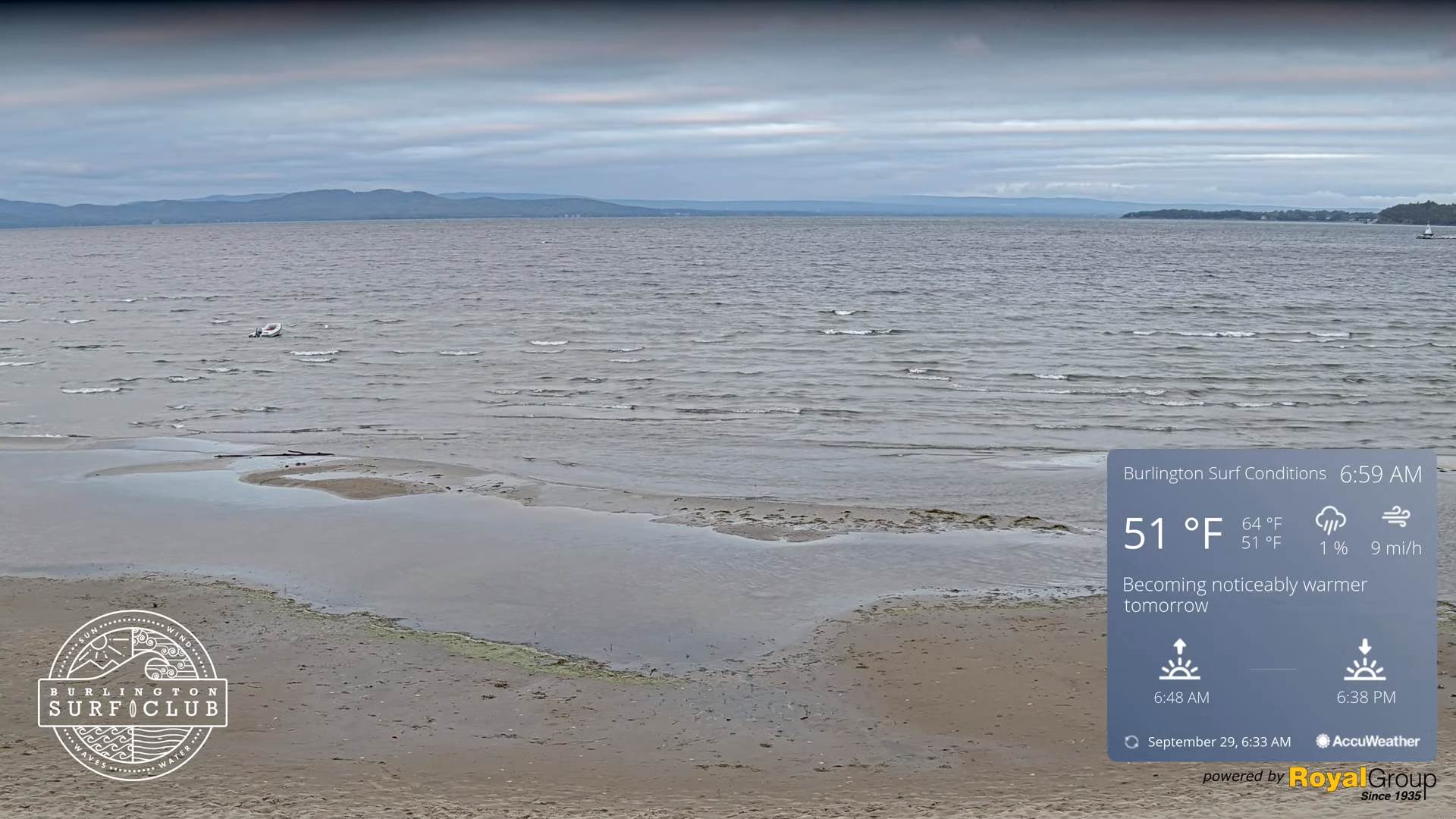
TOMORROW: Valley fog burns off to high overcast with hints of late afternoon sun. A high 60 to 65. Light north winds.
SATURDAY NIGHT: A period of clouds then mostly clear overnight. A low mid-40s. North to northeast winds.
SUNDAY: Predominantly sunny but some lingering high clouds. A high in the mid-50s. Light north to northeast winds.
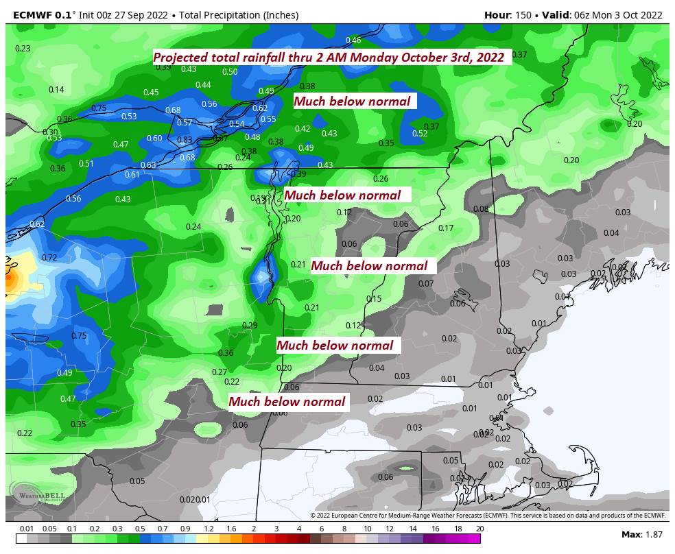
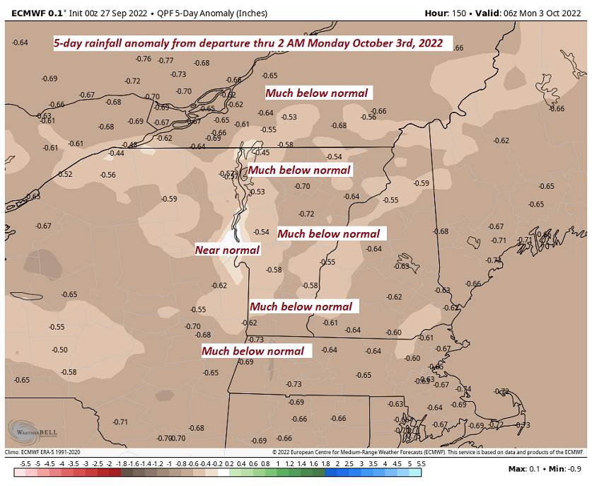
Looking Further Ahead…
SUNDAY NIGHT: Mostly clear with high cloudiness. A low around 30 degrees with a killing frost for many.
MONDAY: Sunshine gives way to more clouds.. A high in the upper 50s to around 60.
TUESDAY: Partly to mostly cloudy. A low around 35. A high upper 50s to near 60.
WEDNESDAY: Mostly sunny. A low 35 to 40. A high about 65.
Average lows upper 30s to lower 40s. Average highs low to mid-60s.
RH/9-30[forecast][end]