
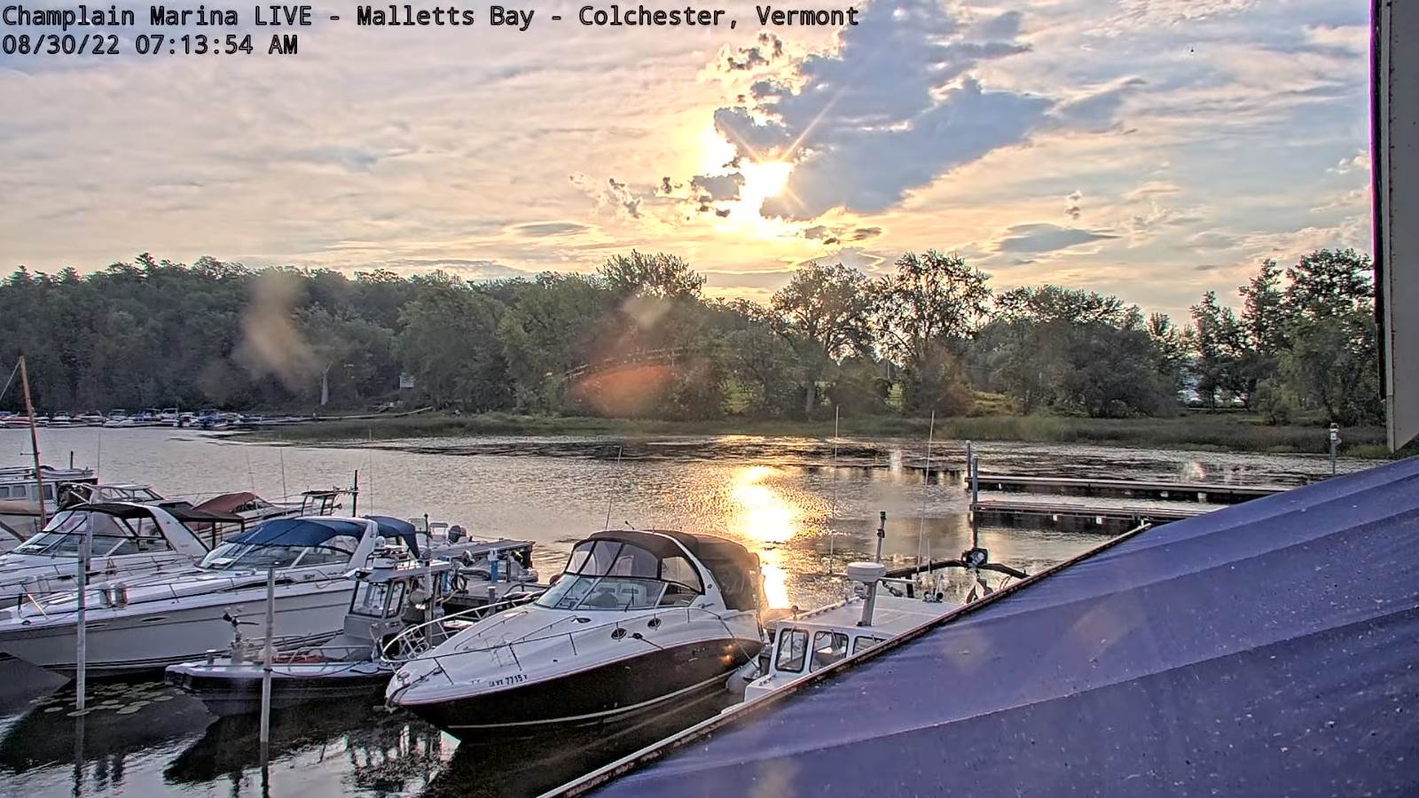
TODAY: Mostly sunny then more clouds later this afternoon. Late afternoon showers & thunderstorms becoming likely. Some could be strong with heavy downpours. Warm and sultry. A high in the upper 80s. Southwest breeze 10 to 15 mph strongest near the lake.
TONIGHT: Lots of clouds. Showers and a few evening thunderstorms likely some strong with locally heavy downpours. A low mid to upper 60s. Light southwest winds.
WEDNESDAY: Partly to mostly cloudy. Scattered showers, with isolated rumbles of thunder possible mid-day, then more sun developing later on. Turning much less humid by mid-afternoon. A high in the mid-70s. Westerly breeze picking up 10 to 15 mph.
Looking Further Ahead…
WEDNESDAY NIGHT: A few evening clouds, then mostly clear. Cooler. Patchy valley fog. A low around 55.
THURSDAY: Periods of morning sun, then mostly cloudy in the afternoon. A bit chilly, a brief touch of autumn with a high
65 to 70.
FRIDAY: Pick of the week. Patchy morning fog, then bright sunshine & blue skies. Chilly start with a low around 45. A high in the lower 70s.
SATURDAY: Filtered sun thru high cloudiness. A low 50 to 55. A high pushing near 80.

SUNDAY: Clouds with a breaks of sun. Scattered showers. A low in the mid-50s. A high around 75.
Average lows low to mid 50s. Average highs in the 70s.
RH/8-30[forecast][end]
