
TONIGHT: Any leftover showers and thunderstorms exit early then clearing. Patchy valley fog. A low in the mid-60s. Light southwest winds.
Approximate peak of climatological summer, or half way point.
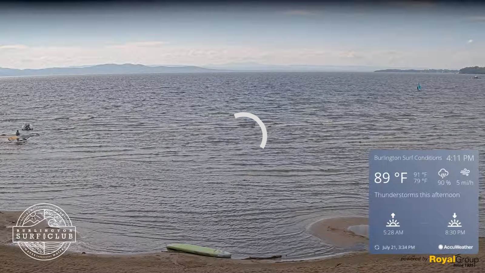
TOMORROW: Pick of the week. Mostly sunny, warm not so humid. A high mid to upper 80s. Westerly breeze 10 to 15 mph.
FRIDAY NIGHT: Mostly clear. Patchy valley fog. A low in the low 60s. Light south winds.
SATURDAY: Partly to mostly sunny & just moderately humid. A high in the mid to upper 80s. Southwest winds 10 mph.
Looking Further Ahead…
SATURDAY NIGHT: A few clouds otherwise mostly clear. A low in the mid-60s.
SUNDAY: Partly sunny & rather hot. Isolated late day thunderstorms toward the Champlain Valley becoming more numerous Monday night. A high 90 to 95.
MONDAY: Mainly cloudy. Chance for showers and a few thunderstorms early, then partial clearing cooler and less humid in the afternoon. A low ranging thru the 70s. A high near 85.
TUESDAY: Mixed sun and clouds. Refreshingly less humid. A low upper 50s to around 60. A high around 80.
Average lows 60 to 65. Average highs upper-70s to low 80s. Peak of summer
RH/7-21[forecast][end]
