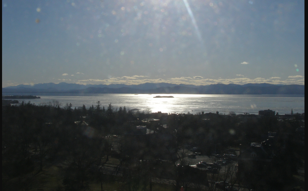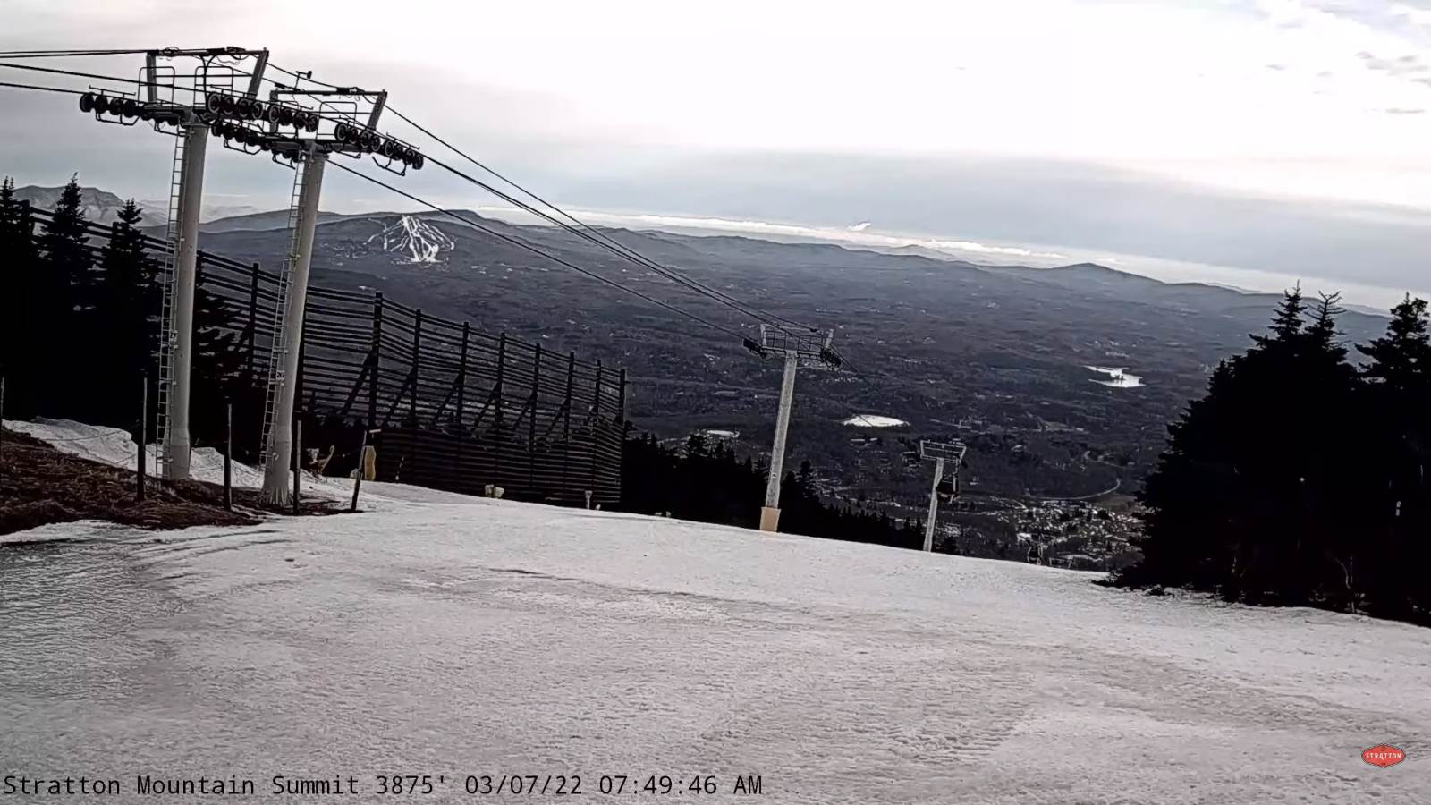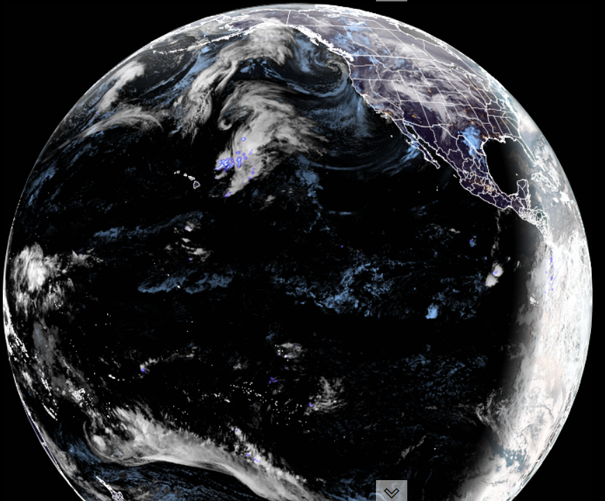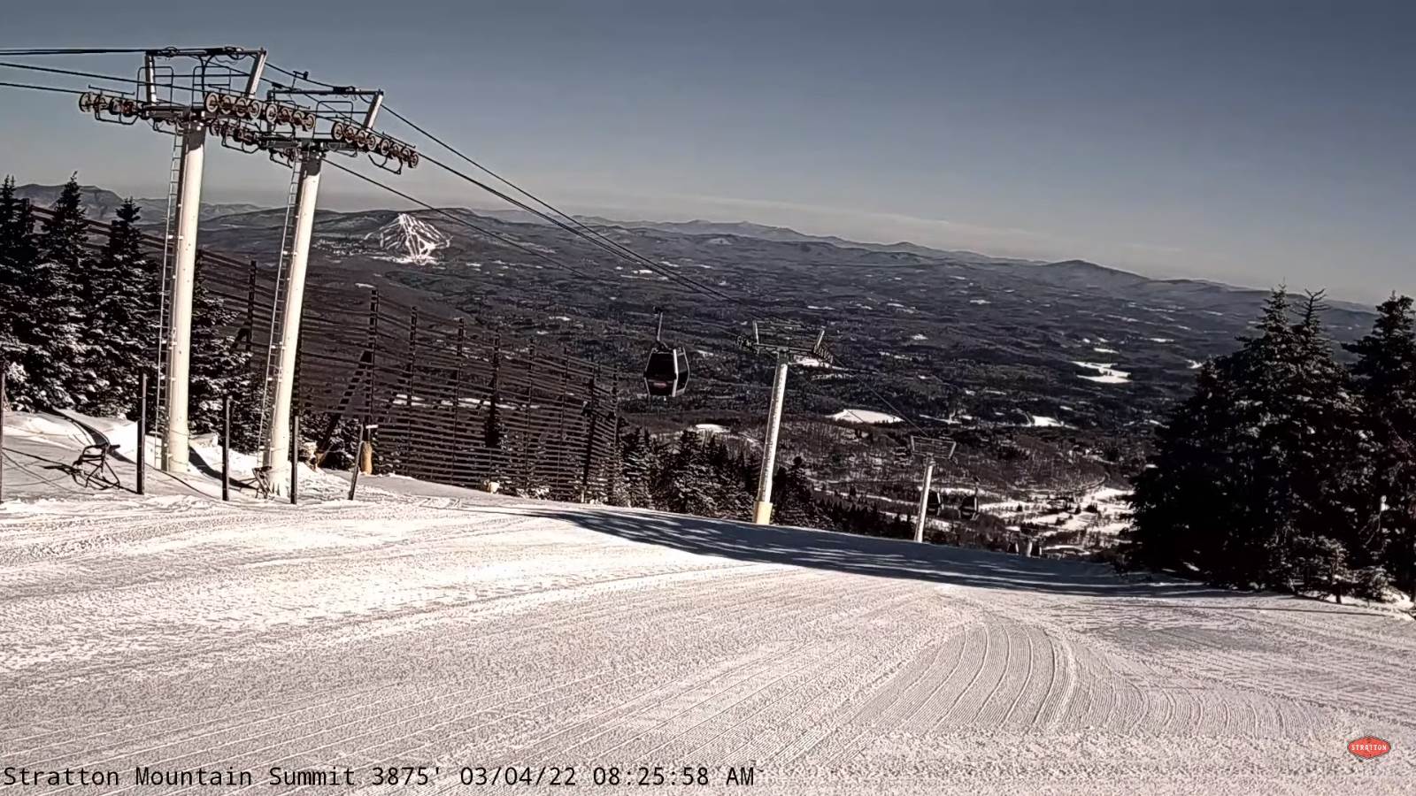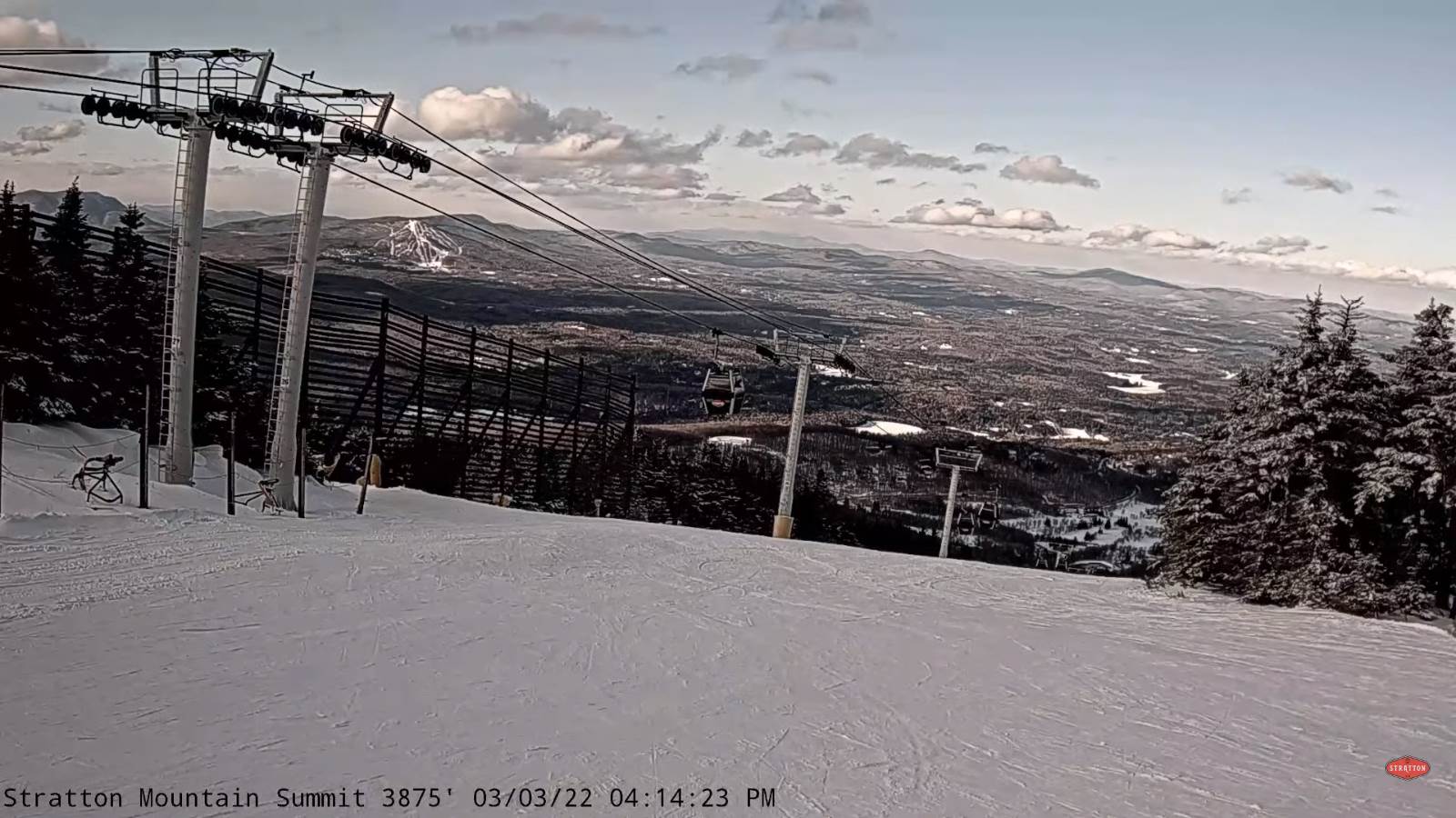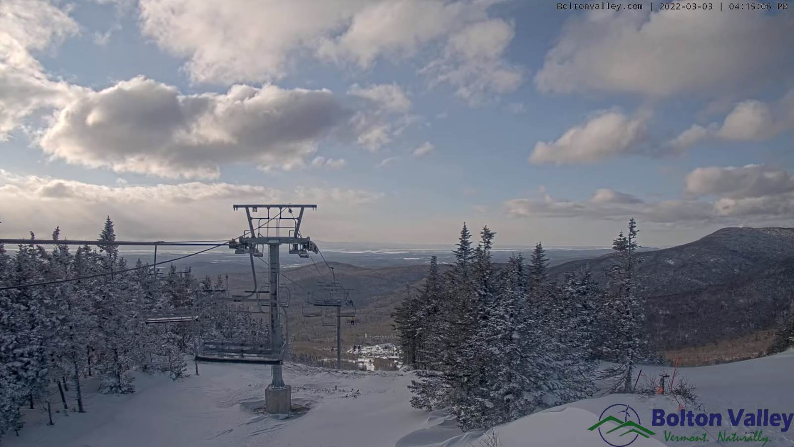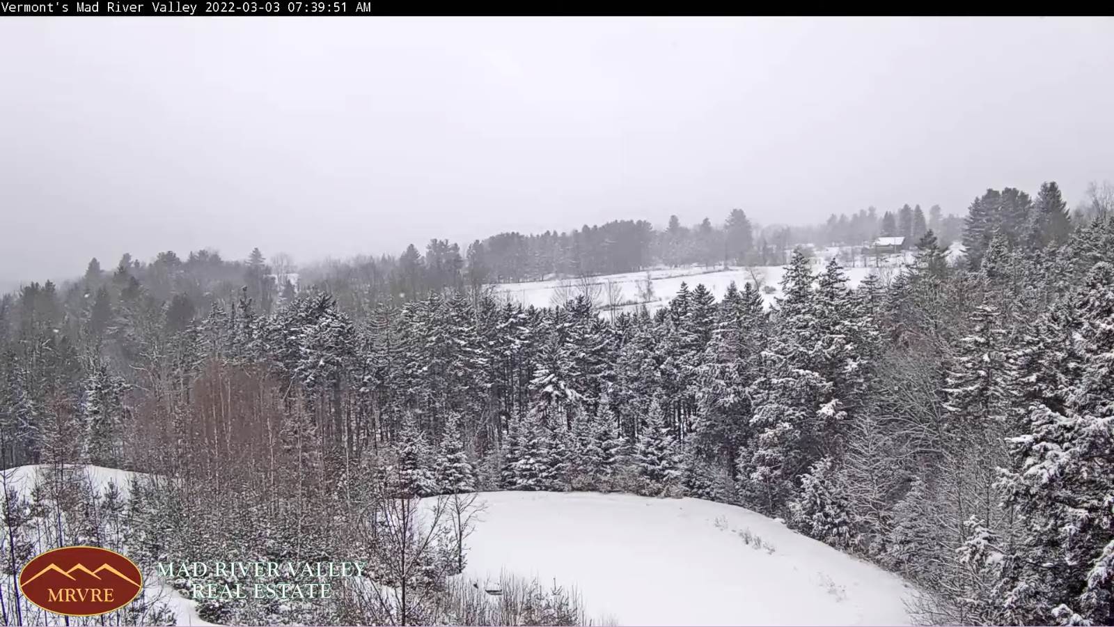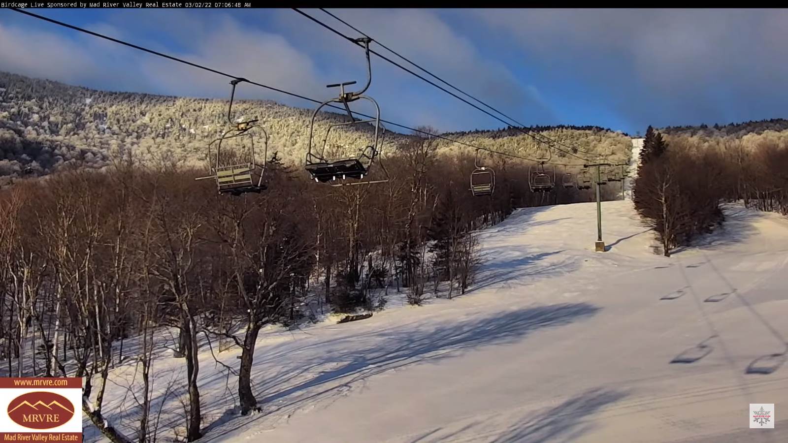
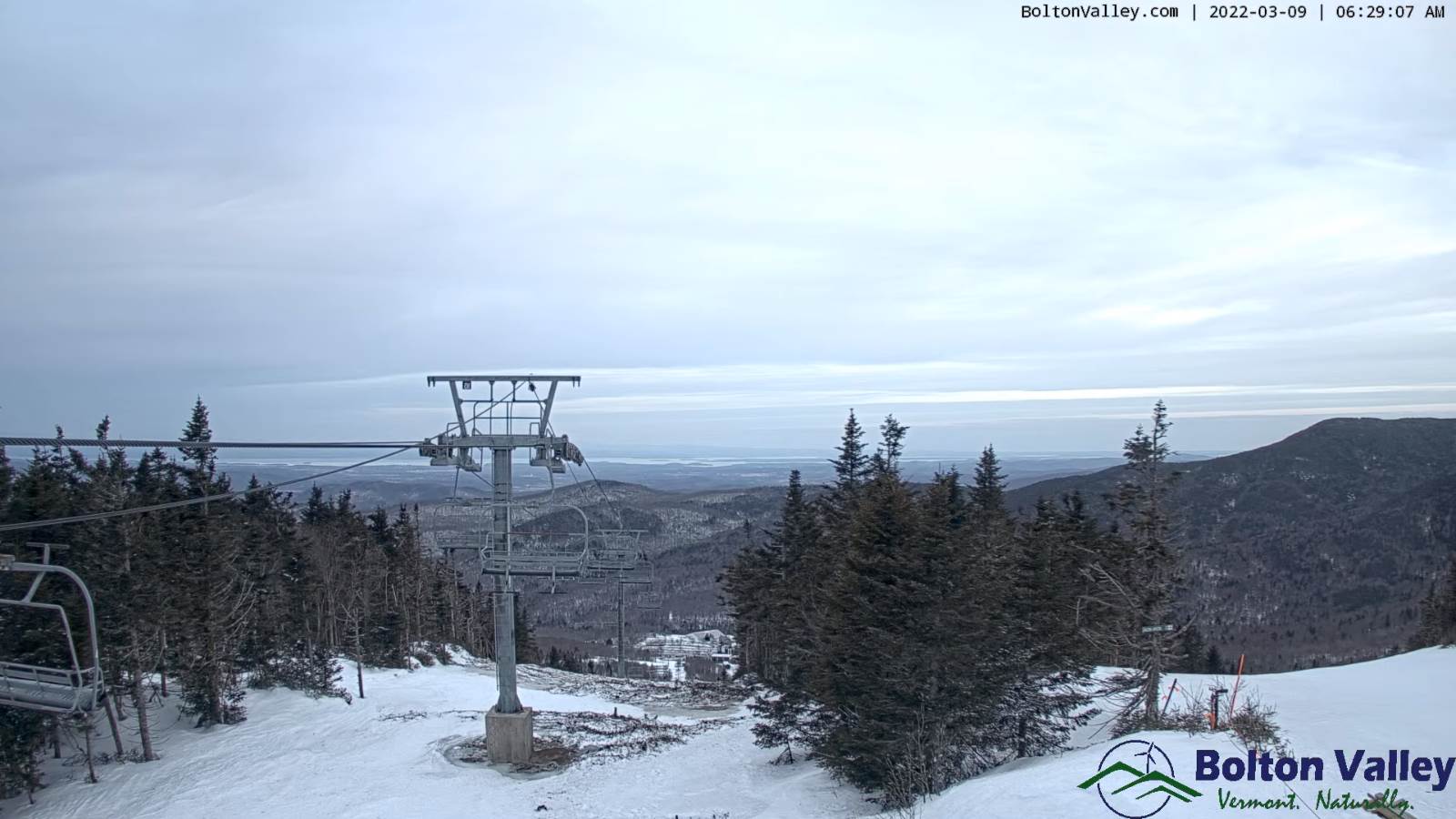
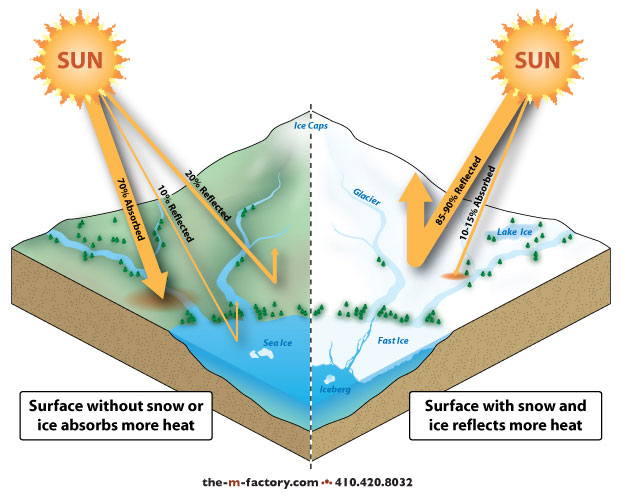
Last day of Meteorological Winter
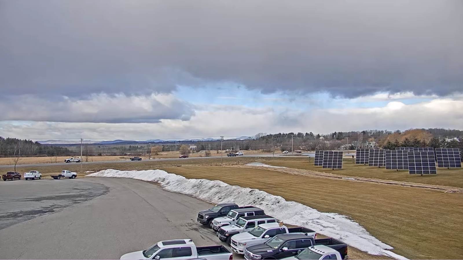
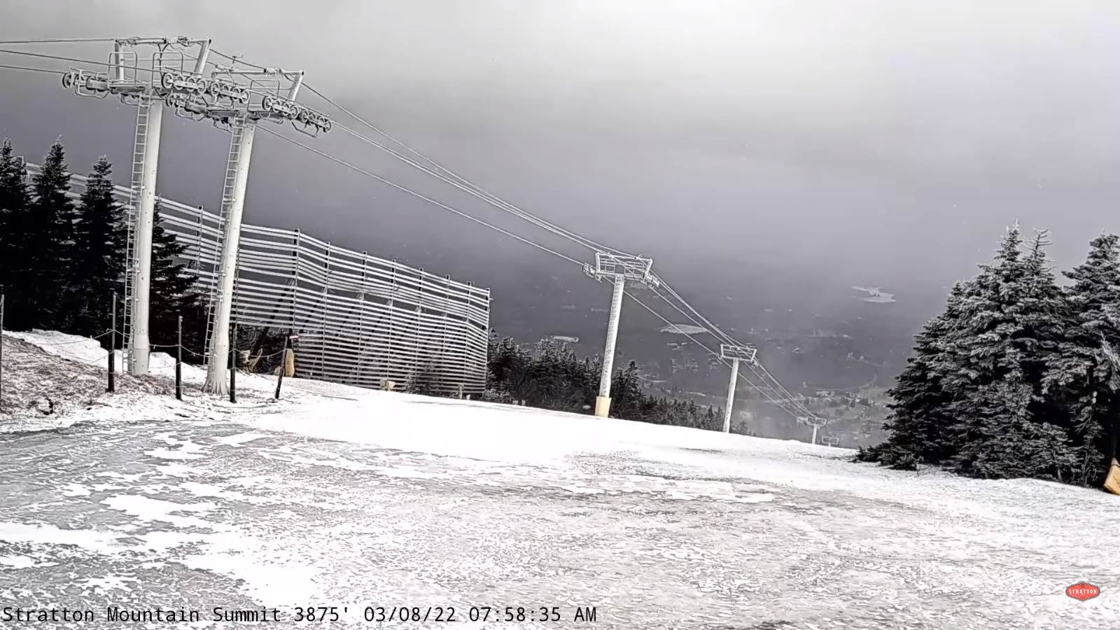
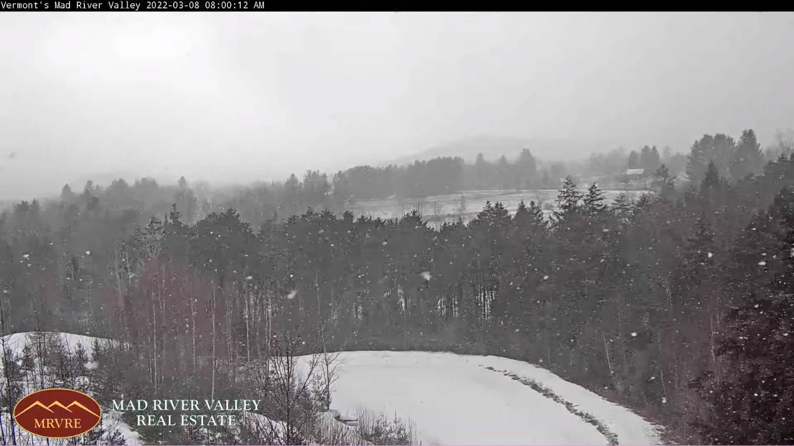
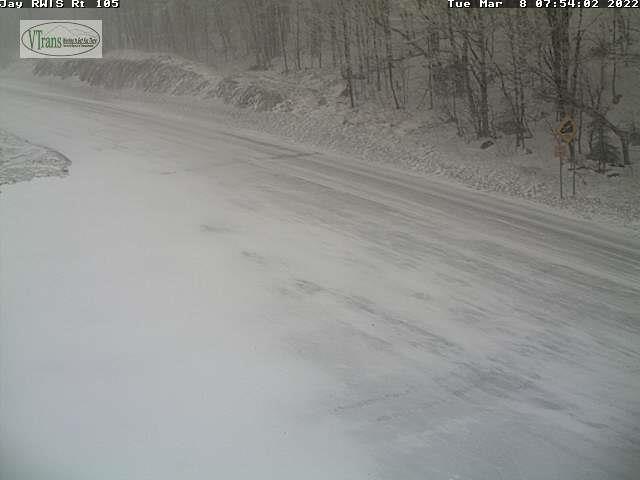
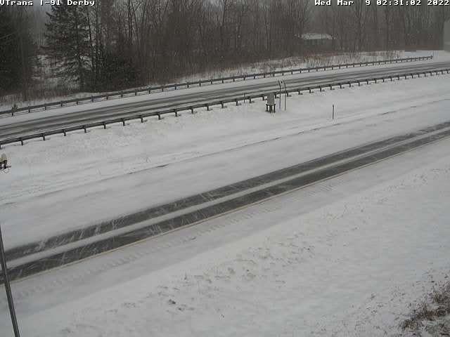
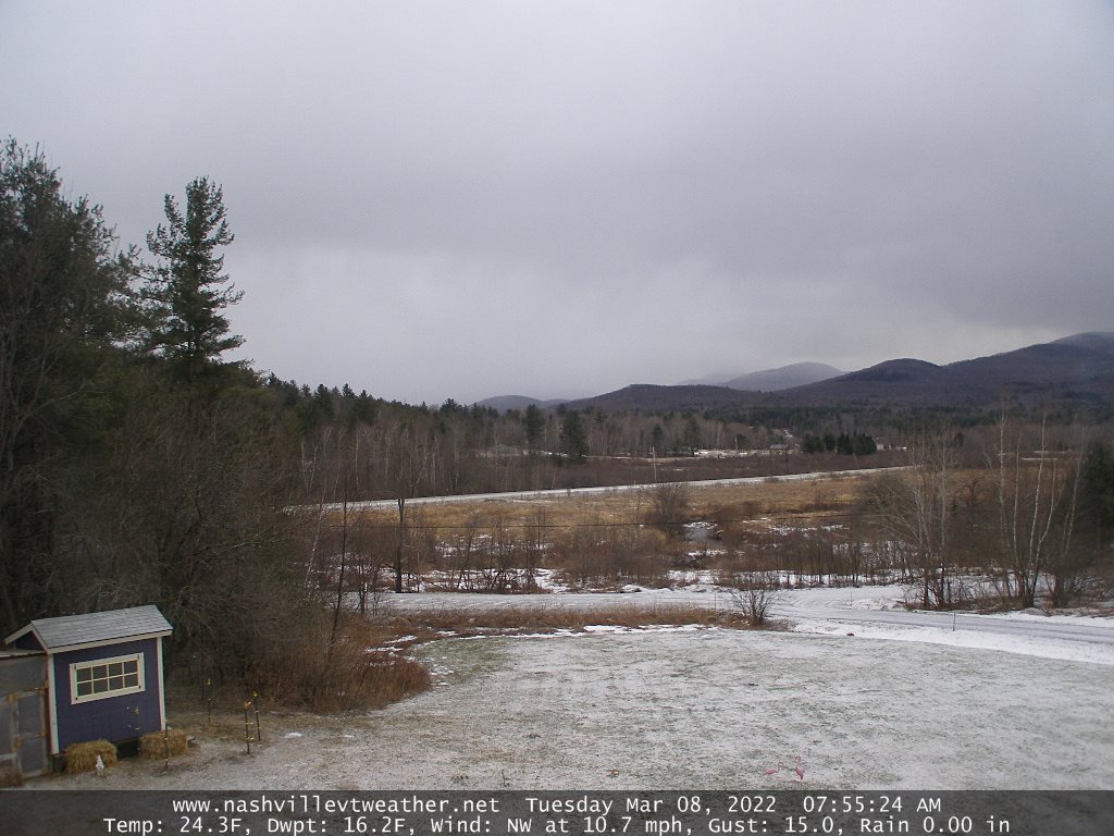
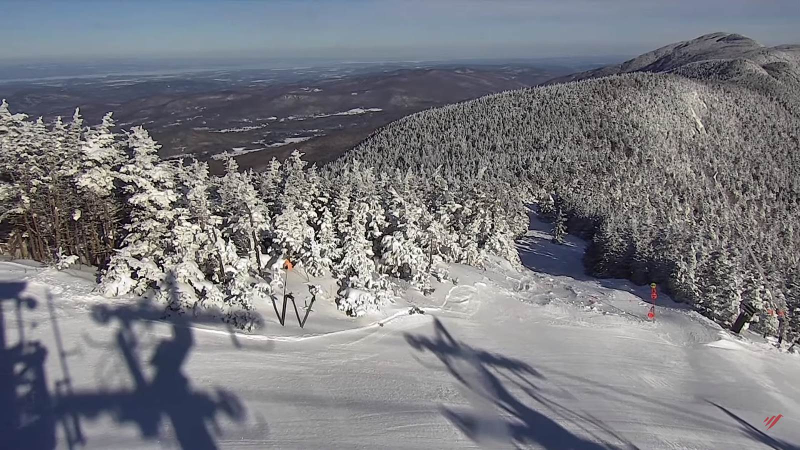
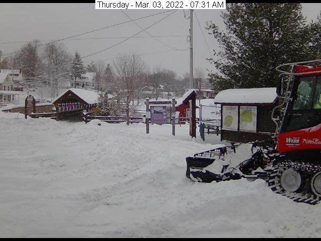
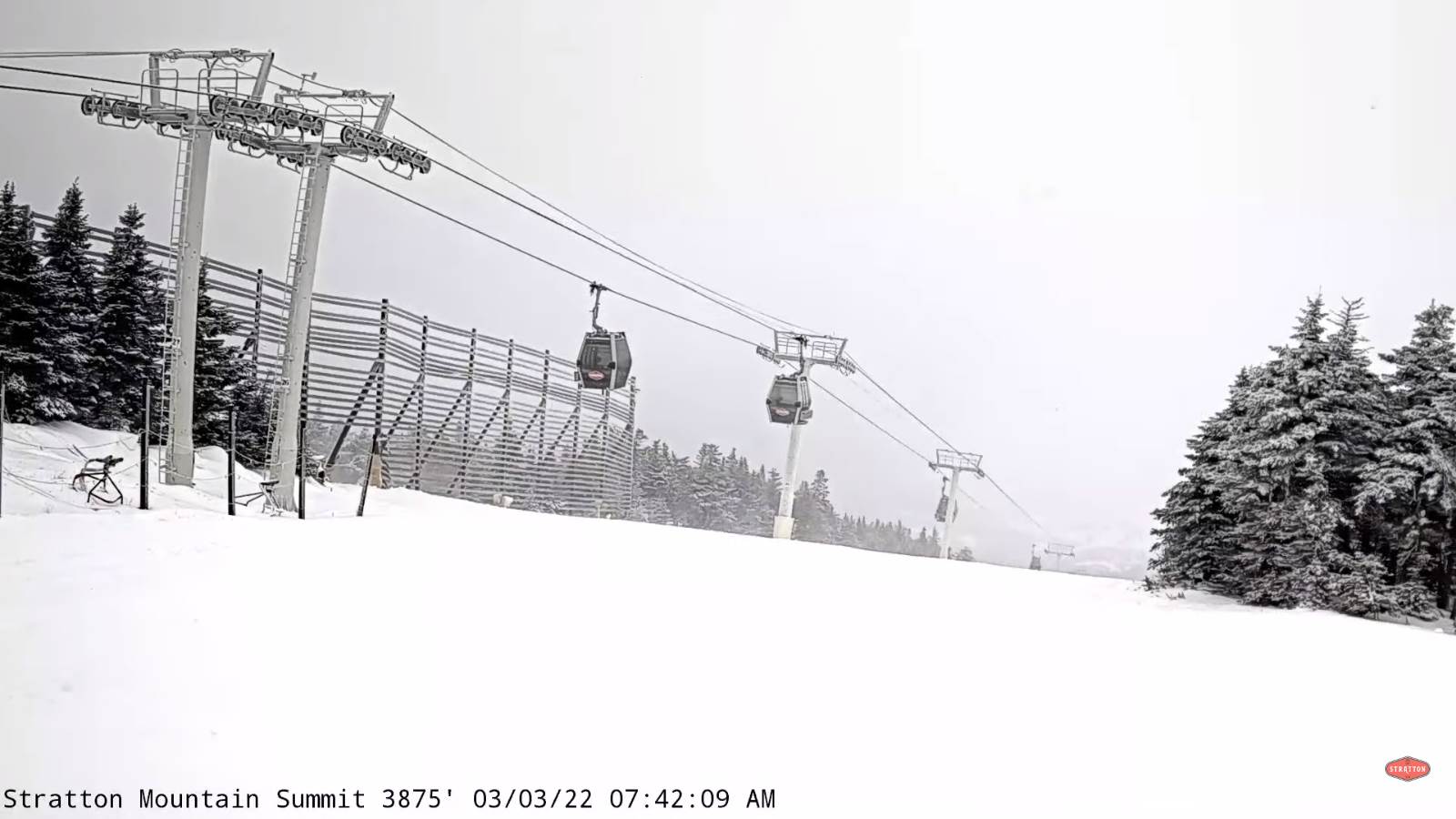
TODAY: Thickening clouds. Light accumulating snow…southern Vermont reaching Barre-Montpelier area late. A light coating mainly higher terrain by late today southern areas with slushy travel. A high mid-30s southern areas to around 40 northern Vermont. South breeze 10 mph.
TONIGHT: Occasional light accumulating snow or flurries briefly this evening…exiting before midnight. A dusting northern areas, up around an inch south. Becoming partly cloudy overnight. A low 20 to 25. Light southwest winds.
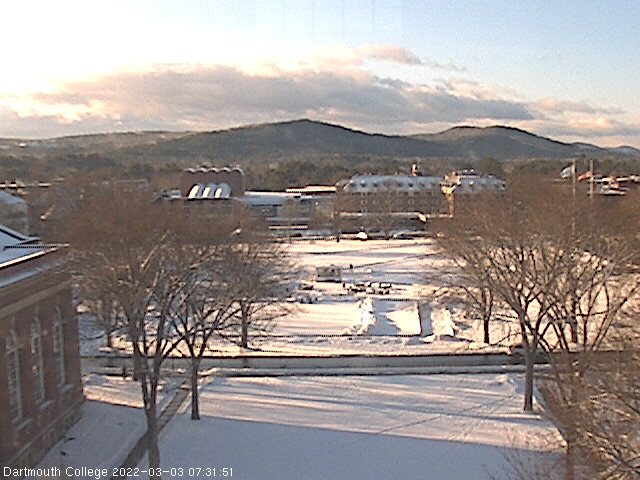
THURSDAY: Mixed sun and clouds. A high 40 to 45. West breeze 10 mph. Sap run.
Looking further ahead…
THURSDAY NIGHT: Fair with high clouds. A low upper teens to mid-20s.
FRIDAY: Mostly cloudy. A high around 40. Sap run
SATURDAY: Gray. Chance for significant accumulating snow, possibly wet…moderate to heavy at times, mixed with sleet southern areas. Accumulation half foot to a foot. Sharply colder. A low near 30 with a high 32 to 35 degrees.
SUNDAY: Blustery to windy and colder. Scattered snow showers or flurries exiting to periods of sunshine. A low 5 to 15. A high in the lower 20s.
Average lows ranging thru the teens. Average highs mid-30s to low 40s.
RH/3-9 forecast][end]