
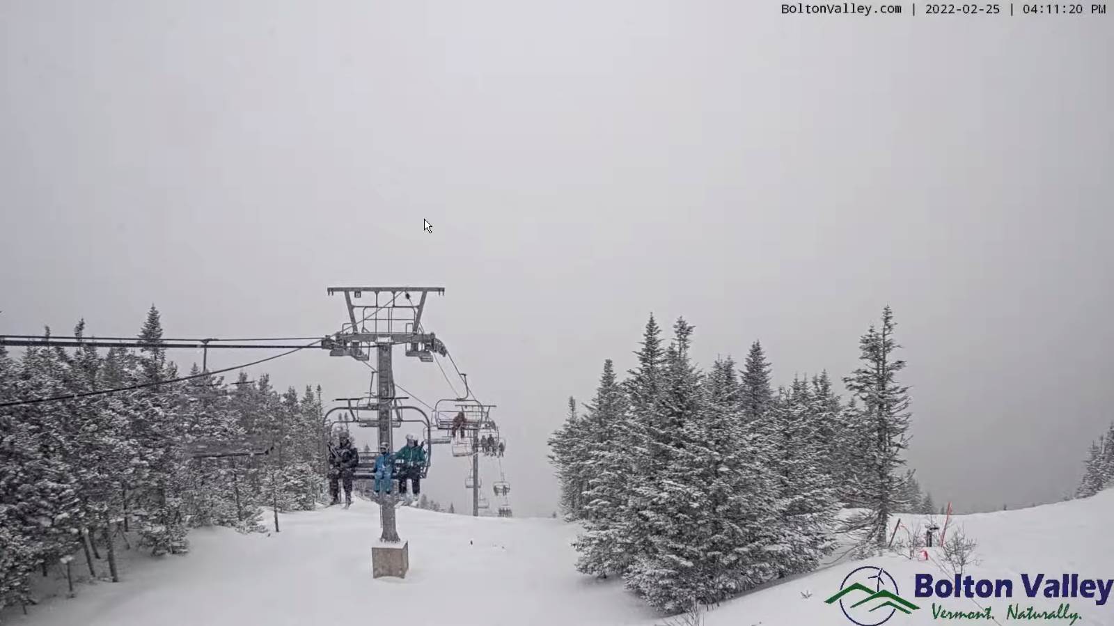
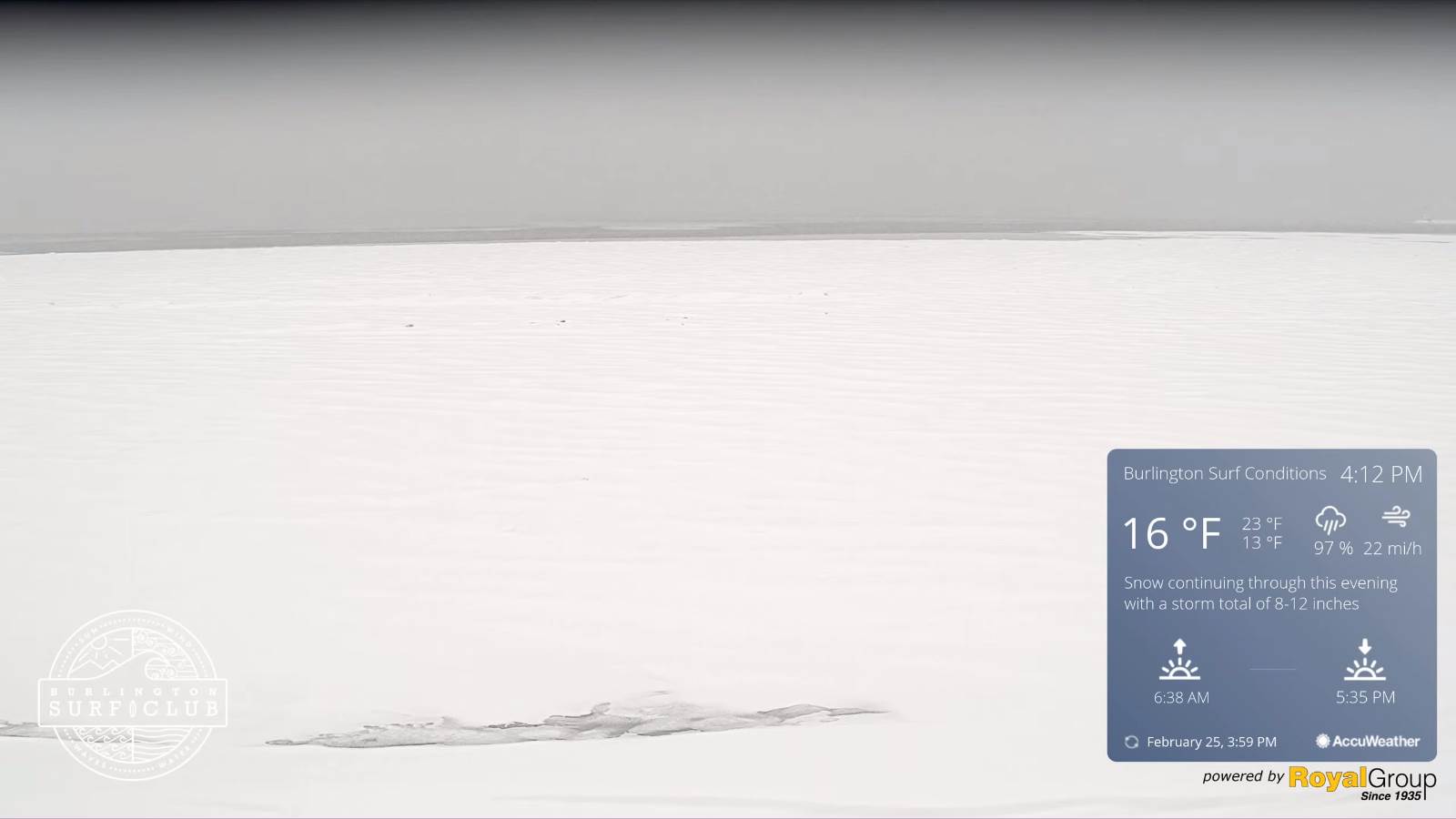
Winter Storm Warning expires this evening…
TONIGHT: Periods of early evening snow…tapering to scattered mountain snow showers and valley flurries. About an inch additional accumulation.Partial clearing overnight.A low 5 above to 10 below. Light winds becoming northwesterly 10 mph.
TOMORROW: A beauty. Mostly sunny. Rather chilly. A high 20 to 25. Light southwest winds.
SATURDAY NIGHT: Increasing clouds. A low ranging thru the teens. Southwest winds 10 mph.
SUNDAY: Thickening clouds, leading to a chance for snow showers and snow squalls with a dusting to a quick inch. A high around 30. Southwest winds 10 to 20 mph shifting to northwesterly and increasing with higher gusts in snow squalls.
Looking further ahead…
SUNDAY NIGHT: Partly cloudy. A low 5 below to 5 above.
MONDAY: Partly sunny and rather cold. A high just in the lower teens.
TUESDAY: Partly sunny early, then clouding up. A low 5 above to 5 below. A high 25 to 30.
WEDNESDAY: Lots of clouds giving way to intervals of afternoon sunshine. Temperatures holding in the 20s.
Average lows 5 to 15. Average highs low to mid 30s
End of Met. Winter March 9th
RH/2-25 forecast][end]
