
Valentine’s Day
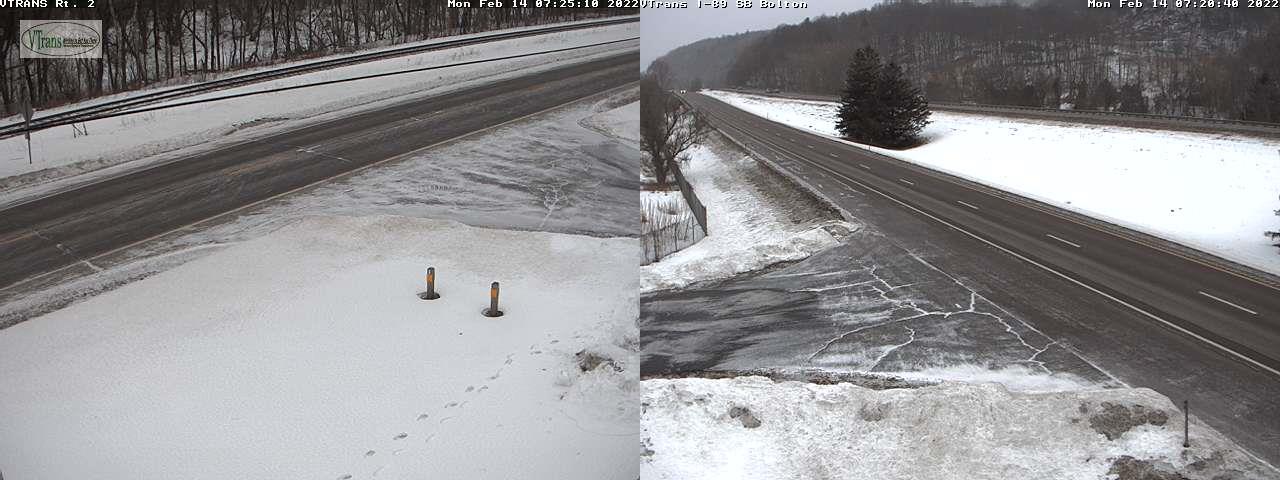
TODAY: Clouds with intervals of sun, and well below normal in temperature. A few stray flurries this morning and again late today northern areas with a dusting in spots. A high just mid-single digits to lower teens, with lowered wind chills this afternoon. Northwest winds 10 mph.
TONIGHT: Mostly cloudy. Widely scattered flurries with a dusting in spots. A low zero to 10 below. Light west winds.
TUESDAY: Sunshine mixed with clouds. Maybe a stray flurry. A little milder. A high mid to upper teens. Winds becoming northwesterly 10 mph to 15 mph.
Looking further ahead…
TUESDAY NIGHT: Clouding up late. A low around zero degrees.
Full Snow Moon 11:57 AM Wednesday
WEDNESDAY: Considerable cloudiness, maybe a hint of sun early. Breezy at times. A late day high in the mid-30s.
THURSDAY: Gray. Good chance for periods of rain…moderate to heavy at times. Moderating temperatures rising thru the 40s to near 50.
FRIDAY: A risk for freezing rain early…changing to light accumulating snow or snow showers with up to couple inches accumulation thru mid-day, then partial clearing sharply colder. Becoming frigid by days end, with temperatures falling in the single digits into the afternoon.
SATURDAY: Mostly cloudy. Chance for light snow showers or flurries. A low 5 below to 5 above. A high around 30.
Average lows mid-single digits to low teens. Average highs ranging upper 20s to around 32.
End of Met. Winter March 9th
RH/2-14 forecast][end]
